Map of Rhode Island
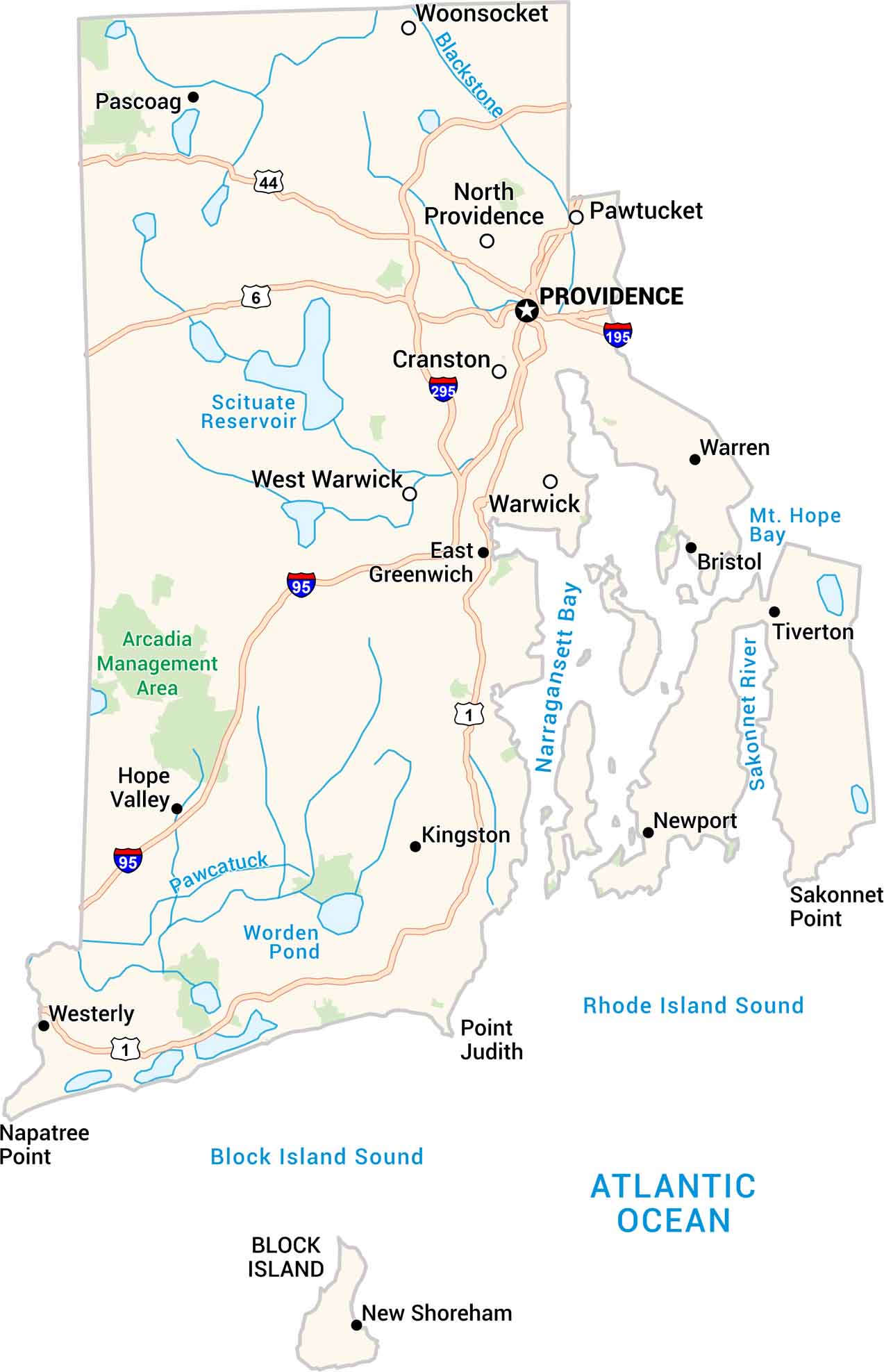
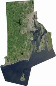
Rhode Island may be the smallest state, but it has character. Our map shows its coastal roads, cities, towns and open waters of Narragansett Bay. You’ll see Providence spreading along the river, Newport along the shoreline, and quiet towns between bays and forests. It’s a state made for slow drives and sea breezes. And don’t forget Family Guy.
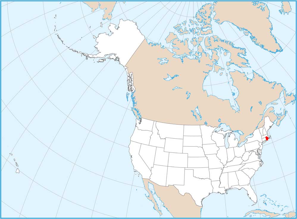
Rhode Island State Maps
Here are our maps of this compact coastal state.


Map Information
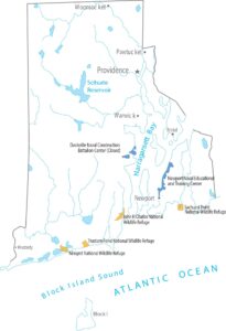
On the Map
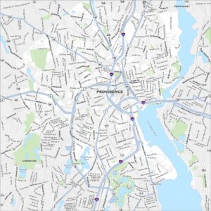
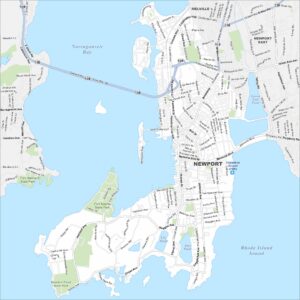
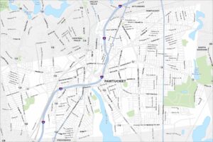
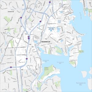
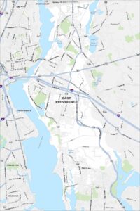
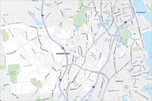
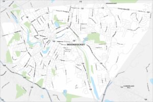
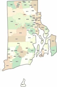
City Maps of Rhode Island
Chart your path through Rhode Island’s cities and towns