Yuma Territorial Prison Map
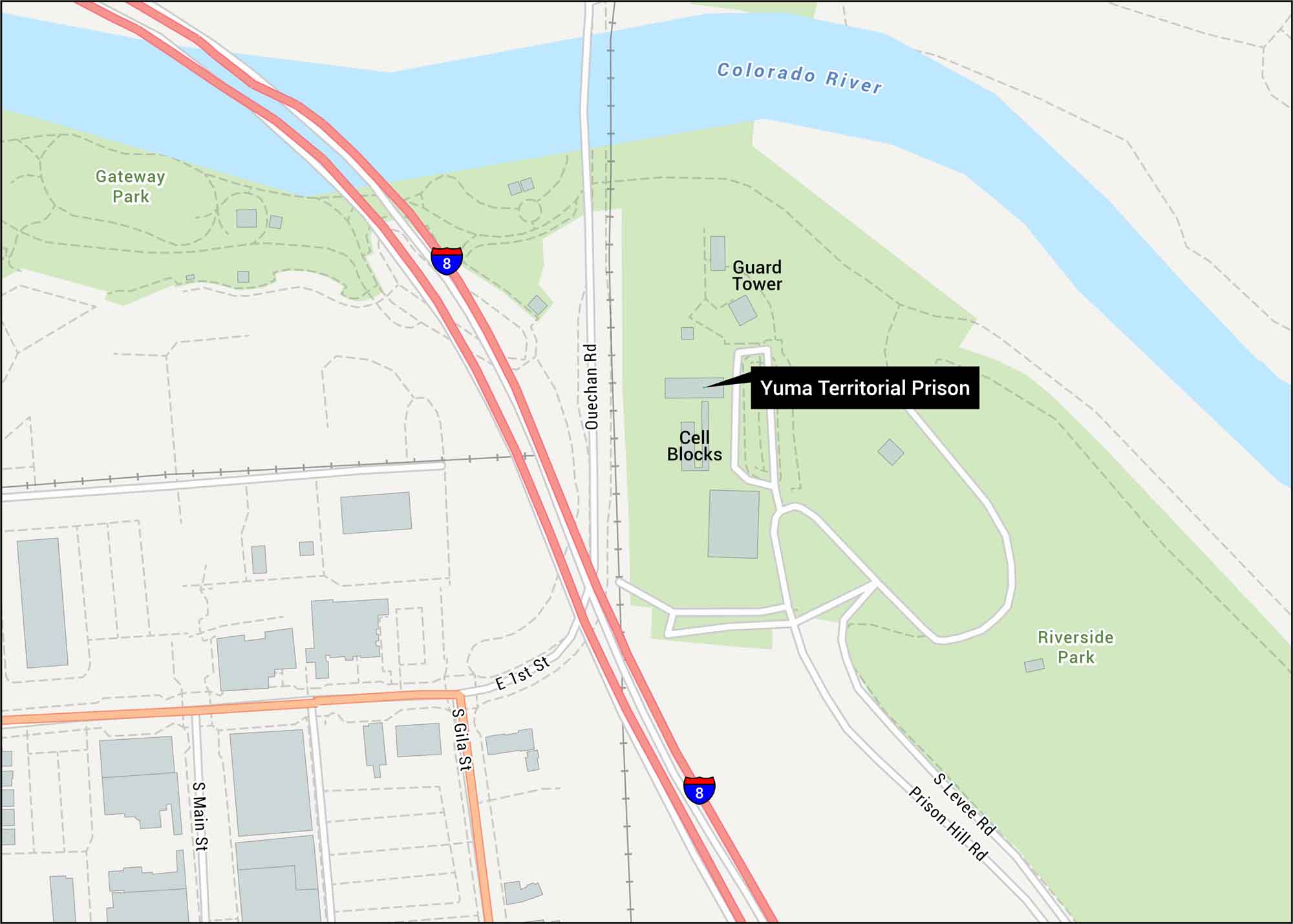
Our map of Yuma Territorial Prison shows the historic park, I-8 connections, and historic downtown Yuma streets below. This facility once held Arizona’s worst outlaws in the brutal desert heat.
Map Information
On the Map
Interstates/Highways: I-8 Major Roads: Gila St, Main St, 1st St, Quechan Rd, Prison Hill Rd, Levee Rd Rivers/Lakes: Colorado River Parks/Forests: Gateway Park, Riverside Park Other Landmarks: Yuma Territorial Prison, Cell Blocks, Guard TowerTourist Maps in Arizona
Discover all the prime locations with our tourist maps.