Map of Woodbury, Minnesota
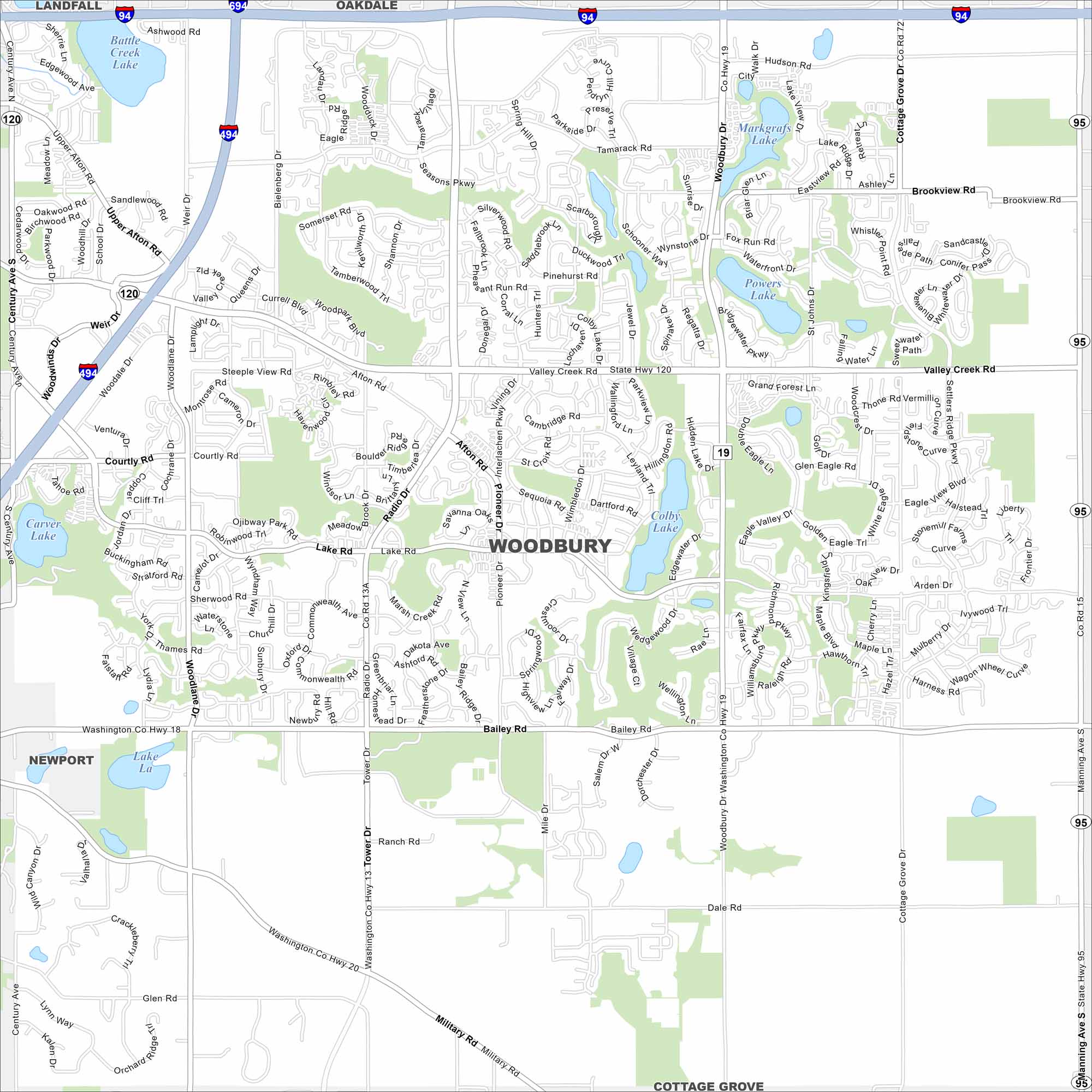
Our map of Woodbury highlights one of the Twin Cities’ largest suburbs. Lakes, trails, and neighborhoods spread across the area. Also not its winding residential streets, unique to the area.
Map Information
On the Map
Interstates/Highways: I-94, I-494, I-694 Major Roads: Valley Creek Rd, Woodbury Dr, Radio Dr, Bielenberg Dr, Lake Rd, Bailey Rd, Tamarack Rd, Afton Rd, Century Ave, Manning Ave, Washington Co Hwy 18, Washington Co Hwy 19, Washington Co Hwy 20, Weir Dr, Queens Dr, Tower Dr, Military Rd, Hudson Rd, Brookview Rd, Seasons Pkwy Lakes and Reservoirs: Powers Lake, Colby Lake, Markgrafs Lake, Carver Lake, Battle Creek Lake, La Lake, Eagle Lake, Wilmes Lake Nearby Communities: Oakdale, Landfall, Newport, Cottage GroveMinnesota State Maps
Explore every lake in our state maps of Minnesota


Minnesota City Maps
Browse through our city maps of Minnesota


