Map of Winthrop, Massachusetts
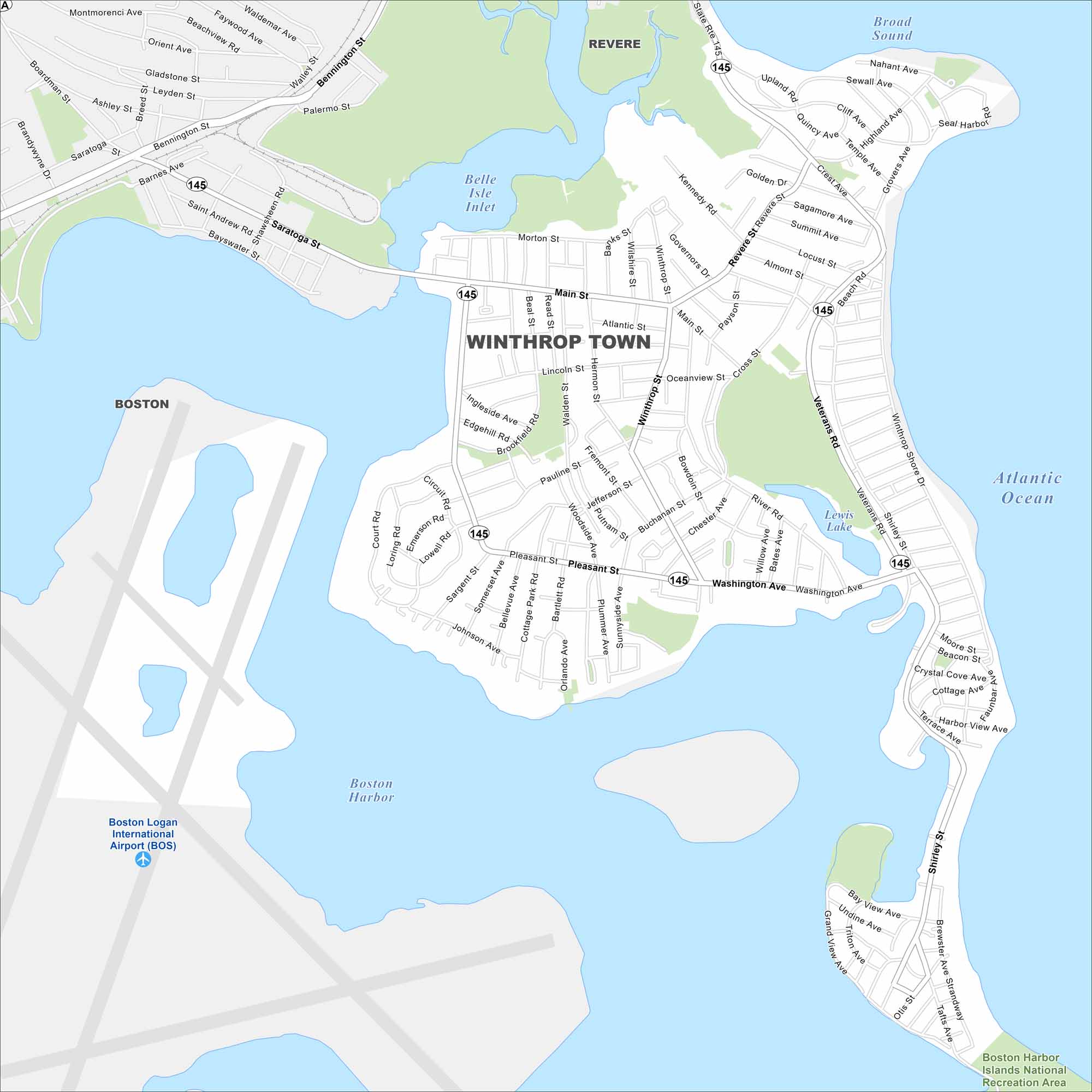
Here’s our map of Winthrop, a coastal town near Boston. Beaches and harbor views shape its peninsula setting. It’s also situated right across from Boston Logan International Airport.
Map Information
On the Map
Interstates/Highways: State Rte 145 Major Roads: Main St, Washington Ave, Veterans Rd, Pleasant St, Shirley St, Winthrop St, Revere St, Morton St, Pauline St, Bowdoin St, Cross St, Crest Ave, Highland Ave, Cliff Ave, Grovers Ave, Walden St, Hermon St, Sargent St, Woodside Ave, Siren St Airports: Boston Logan International Airport (BOS) Lakes and Reservoirs: Atlantic Ocean, Broad Sound, Boston Harbor, Belle Isle Inlet, Lewis Lake, Crystal Cove Parks and Preserves: Boston Harbor Islands National Recreation Area Nearby Communities: Revere, BostonMassachusetts State Maps
Here’s our state maps of Massachusetts


City Maps of Massachusetts
Explore Boston and other urban areas in Massachusetts


