Map of Weatherford, Texas
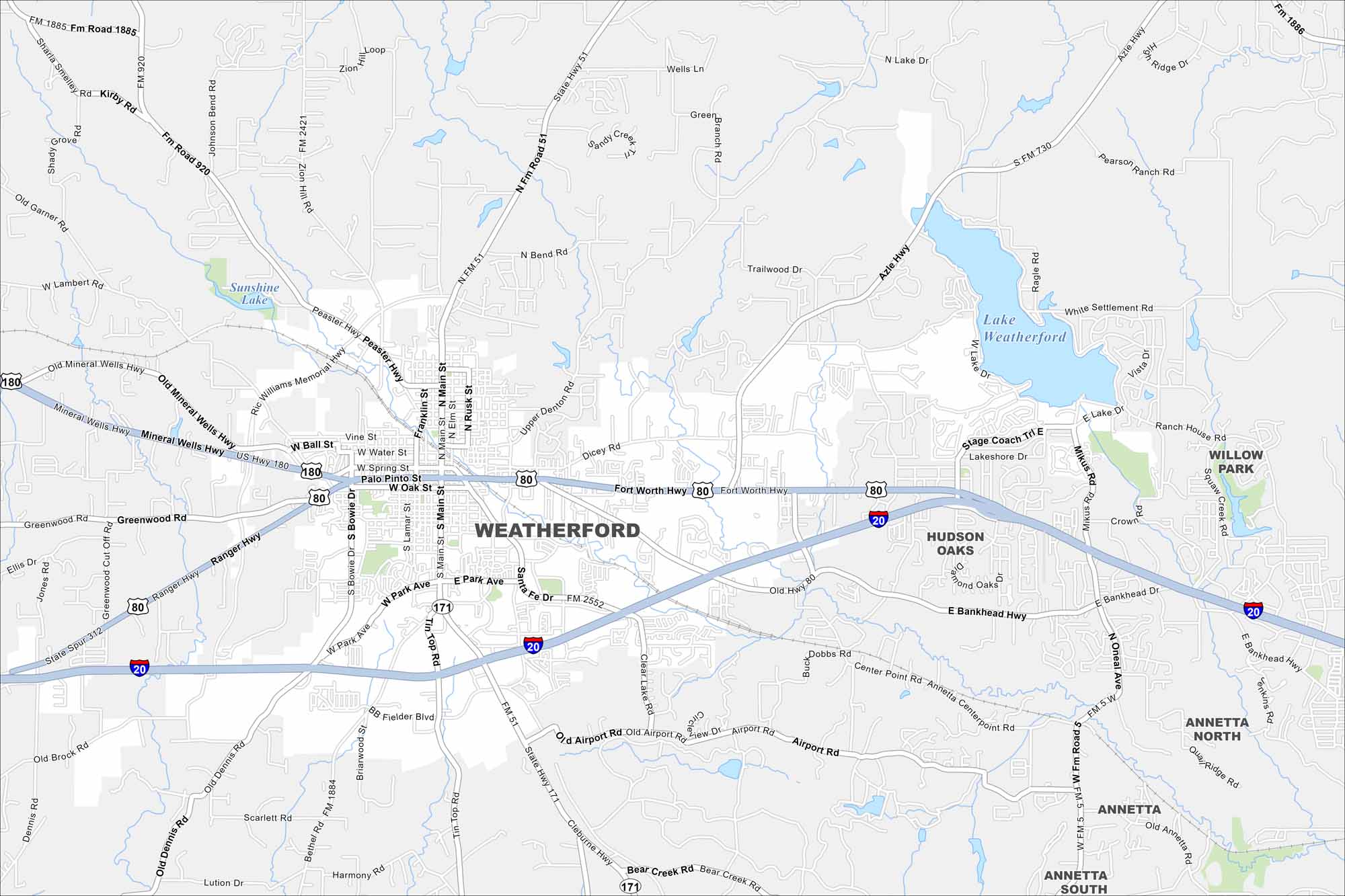
Get oriented with our Weatherford map, showing this city west of Fort Worth. Known as the “Peach Capital of Texas,” it’s also rich in western heritage.
Map Information
On the Map
Interstates/Highways: I-20, US Hwy 80, US Hwy 180, State Rte 171, State Rte 51 Major Roads: Main St, Park Ave, Fort Worth Hwy, Bankhead Hwy, Ranger Hwy, Mineral Wells Hwy, Peaster Hwy, Ric Williams Memorial Hwy, Tin Top Rd, Cleburne Hwy, Bethel Rd, Old Dennis Rd, Mikus Rd, Lakeshore Dr, Stage Coach Trl, Oakridge Rd, Azle Hwy Lakes and Reservoirs: Lake Weatherford, Sunshine Lake Nearby Communities: Hudson Oaks, Willow Park, Annetta North, Annetta, Annetta SouthTexas State Maps
Scan our maps of the massive southern state of Texas.


City Maps of Texas
Explore our map collection of Texas cities.


