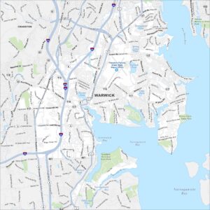
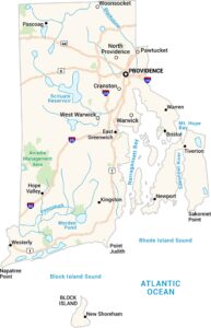
Map of Warwick, Rhode Island
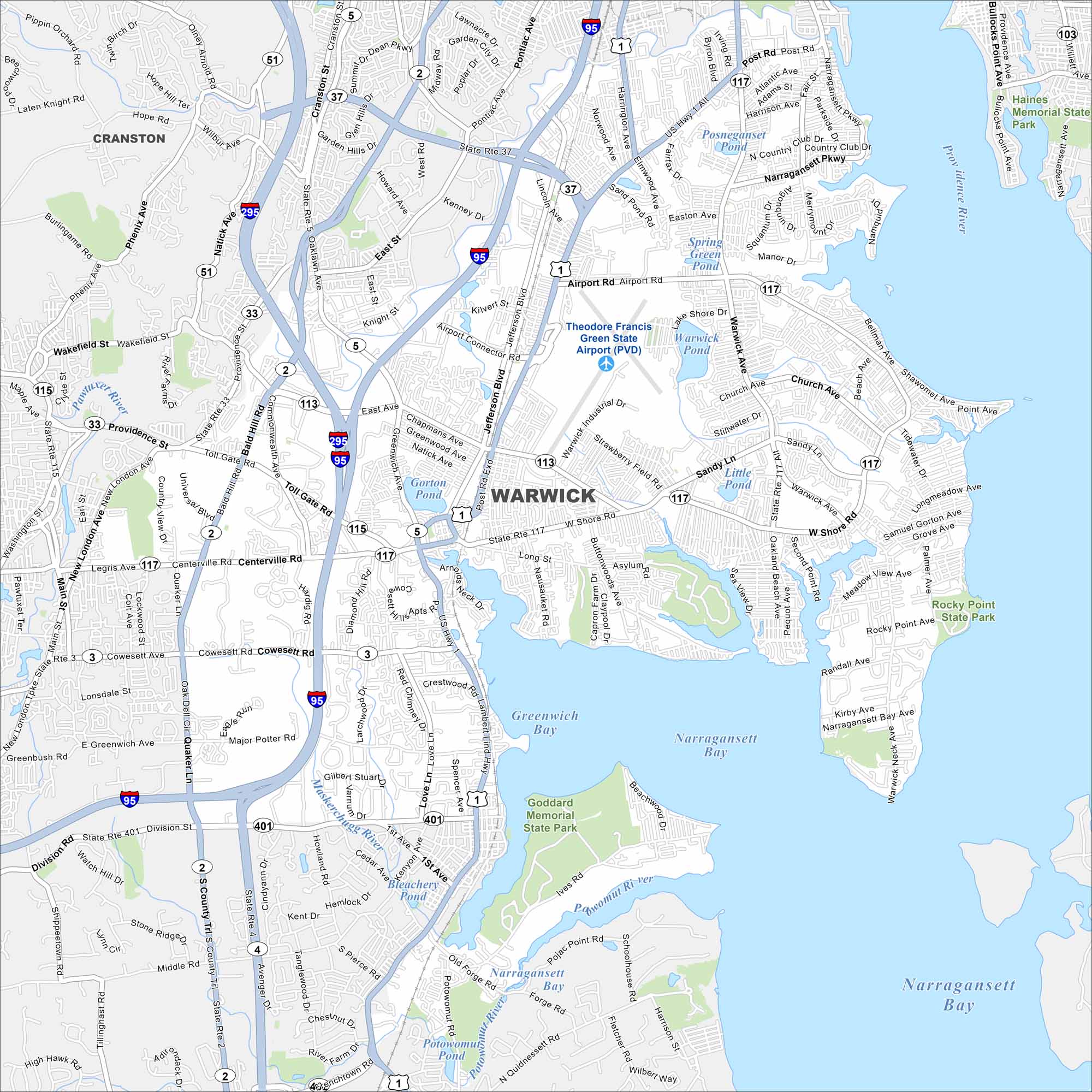
Get around Warwick with our map highlighting its Narragansett Bay shoreline. Beaches, marinas, and shopping make it a coastal city with variety.
Map Information
On the Map
Interstates/Highways: I-95, I-295, US Hwy 1, State Rte 2, State Rte 3, State Rte 5, State Rte 33, State Rte 37, State Rte 113, State Rte 115, State Rte 117, State Rte 401 Major Roads: Post Rd, Warwick Ave, West Shore Rd, Airport Rd, Main St, Quaker Ln, Centerville Rd, Toll Gate Rd, Bald Hill Rd, Jefferson Blvd, Pontiac Ave, Commonwealth Ave, Love Ln, Ives Rd, Forge Rd, Sandy Ln, Narragansett Pkwy, Occupasstuxet Rd, Greenwich Ave, East Ave Airports: Theodore Francis Green State Airport (PVD) Lakes and Reservoirs: Greenwich Bay, Narragansett Bay, Potowomut Pond, Warwick Pond, Little Pond, Gorton Pond, Sand Pond, Spring Green Pond, Posneganset Pond Major Rivers: Pawtuxet River, Maskerchugg River, Potowomut River Parks and Preserves: Goddard Memorial State Park, Rocky Point State Park, Haines Memorial State Park Nearby Communities: CranstonRhode Island State Maps
Here are our maps of this compact coastal state.


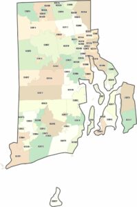
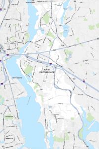
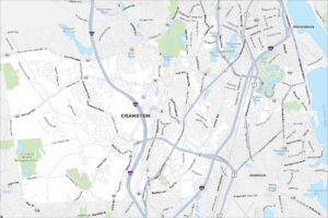
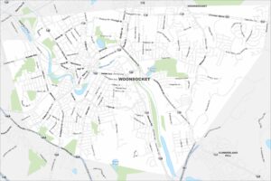
City Maps of Rhode Island
Chart your path through Rhode Island’s cities and towns