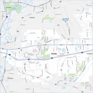
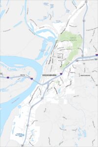
Map of Vicksburg, Mississippi
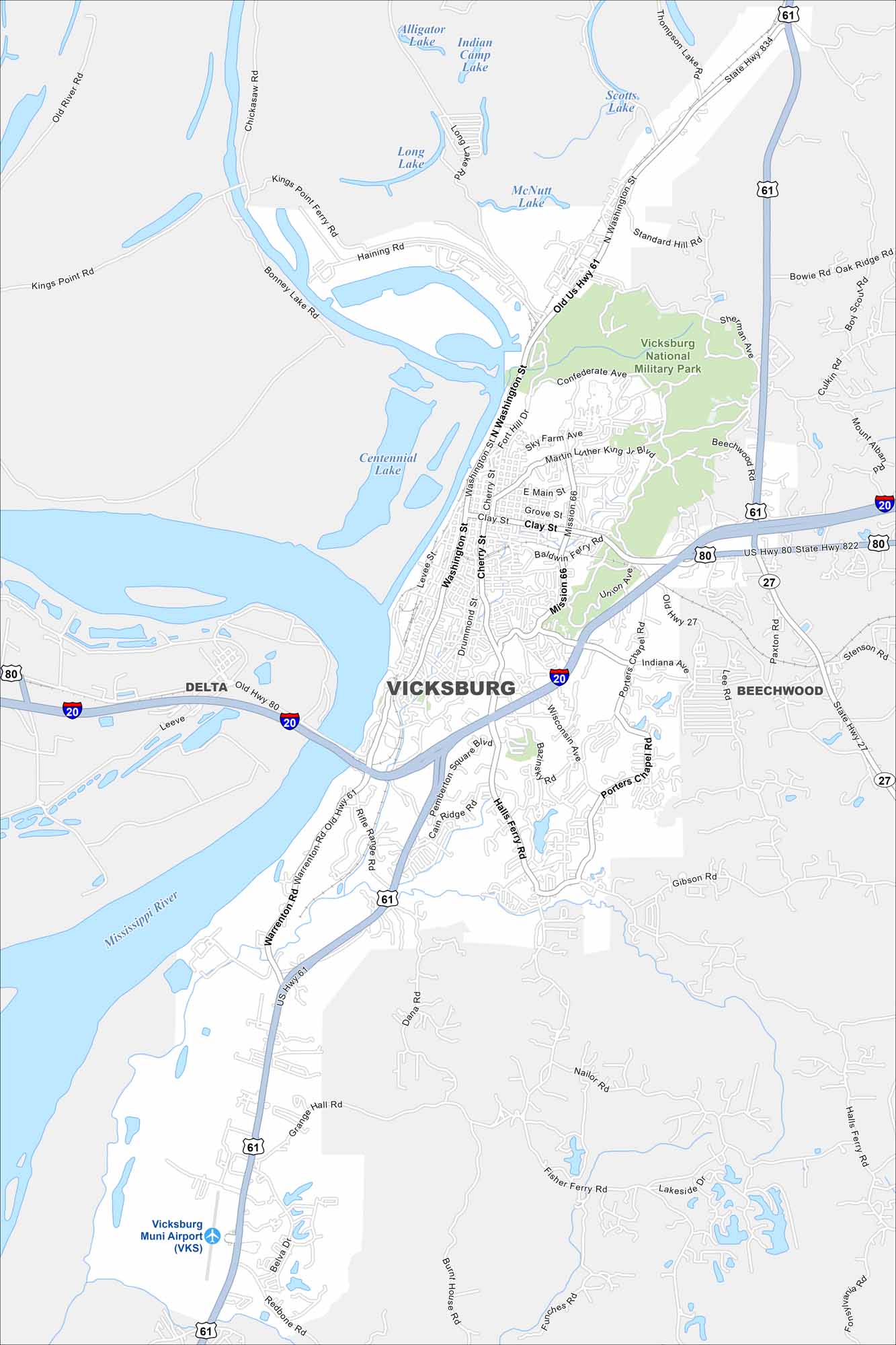
Vicksburg is a Mississippi River city with Civil War history. Our map shows its airport, highways/roads, riverfront, and local neighborhoods.
Map Information
On the Map
Interstates/Highways: I-20, US Hwy 61, US Hwy 80, State Hwy 27 Major Roads: Washington St, Clay St, Halls Ferry Rd, Mission 66, Wisconsin Ave, Cherry St, Drummond St, Sky Farm Ave, Martin Luther King Jr Blvd, Confederate Ave, Warrenton Rd, Rifle Range Rd, Pemberton Square Blvd, Bazinsky Rd, Porters Chapel Rd, Indiana Ave, Gibson Rd, Fisher Ferry Rd, Nailor Rd, Lee Rd Airports: Vicksburg Muni Airport (VKS) Lakes and Reservoirs: Centennial Lake, Long Lake, Alligator Lake, Indian Camp Lake, Scotts Lake, McNutt Lake Major Rivers: Mississippi River Parks and Preserves: Vicksburg National Military Park Nearby Communities: Delta, BeechwoodMississippi State Maps
Explore maps of Mississippi’s towns, rivers, and roads.


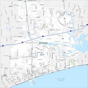
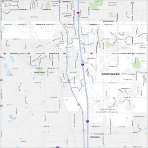
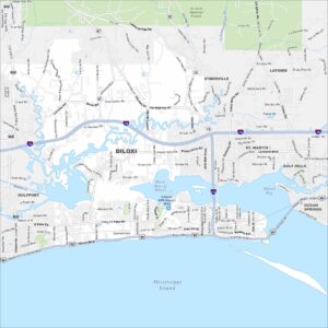
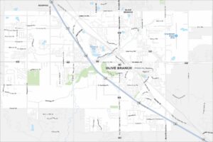
Mississippi City Maps
Discover Mississippi with our city maps