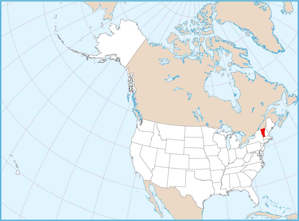
Vermont National Parks and Forests Map
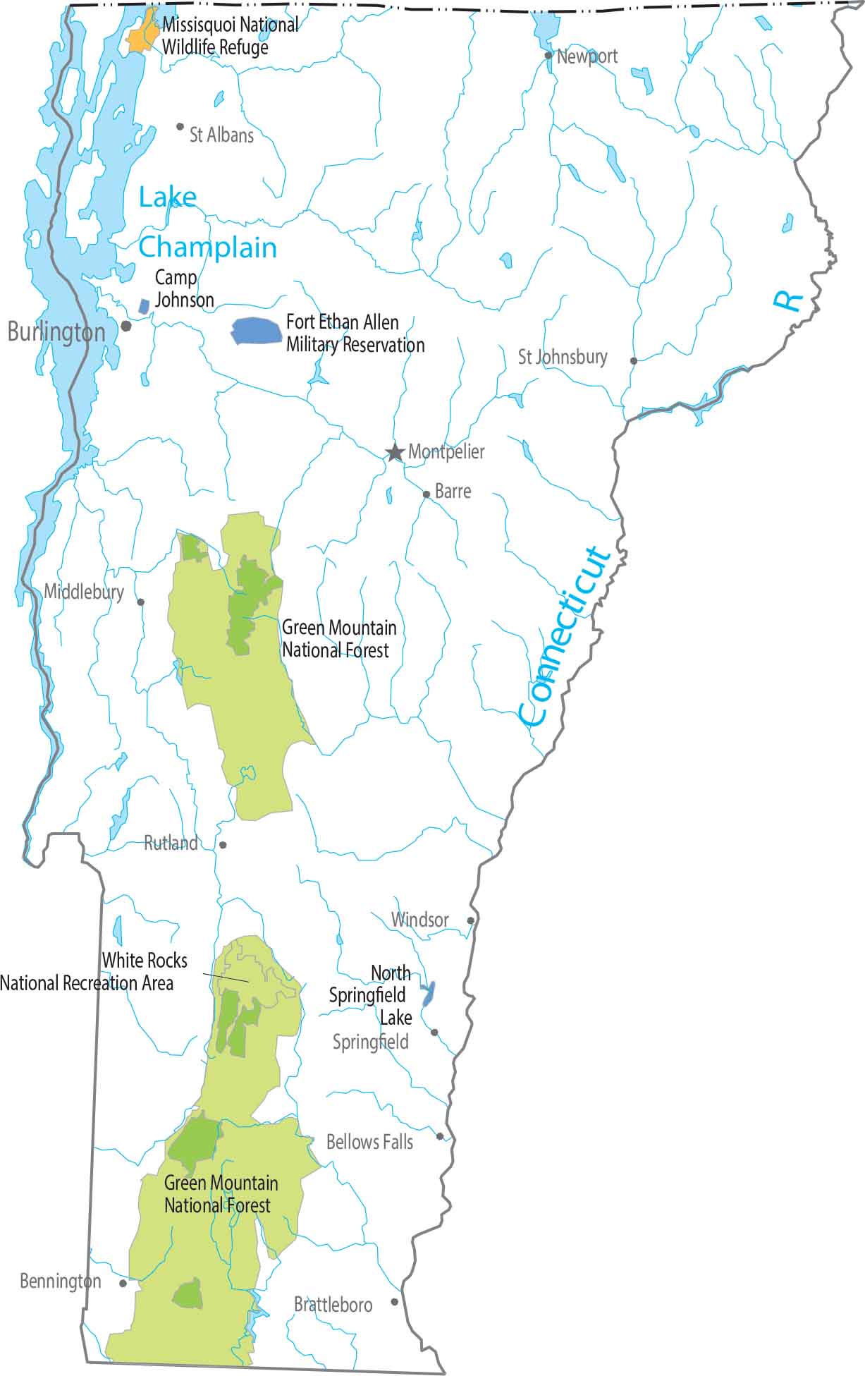
Our map highlights Vermont’s signature, north-to-south running Green Mountains. This feature define the state’s landscape and provides its nickname. Check out our map to see its federal lands displayed in full.
Map Information
On the Map
Parks, Forests and Federal Lands
National Forests (NF): Green Mountain NF National Wildlife Refuges (NWR): Missisquoi NWR National Recreational Areas (NRA): White Rocks NRA Army, Naval and Military: Camp Johnson, Fort Ethan Allen Military ReservationLand Information
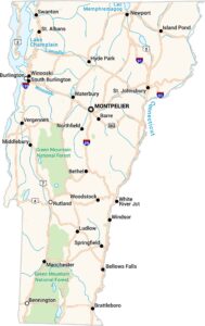
State Capital: Montpelier Major Cities: Bennington, Burlington, Rutland Cities and Towns: Barre, Bellows Falls, Bethel, Brattleboro, Hyde Park, Island Pond, Ludlow, Manchester, Middlebury, Newport, Northfield, South Burlington, Springfield, St. Albans, St. Johnsbury, Swanton, Vergennes, Waterbury, White River Jct, Windsor, Winooski, Woodstock Lakes and Reservoirs: Lake Champlain, North Springfield Lake Rivers and Streams: Connecticut RiverVermont State Maps
Explore maps from the Green Mountain State.