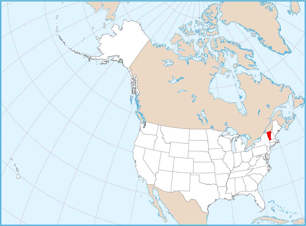
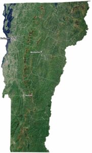
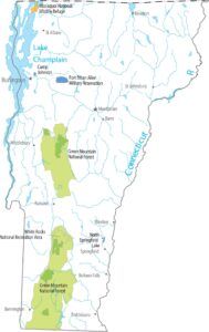
Map of Vermont
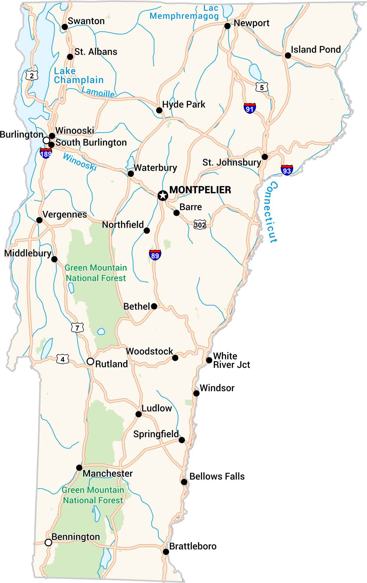
Vermont is all hills, forests, and winding backroads. Our Vermont road map displays its small towns, lakes, and the scenic Green Mountains that cut through the center. It’s a place where every turn feels slower, calmer. That’s because in Vermont, the journey matters as much as the destination.
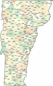
Vermont State Maps
Explore maps from the Green Mountain State.


Map Information
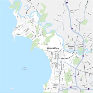
On the Map