Map of Urbandale, Iowa
See how Urbandale is connected to the Des Moines metro. Our map highlights streams, parks, and a growing suburban community.


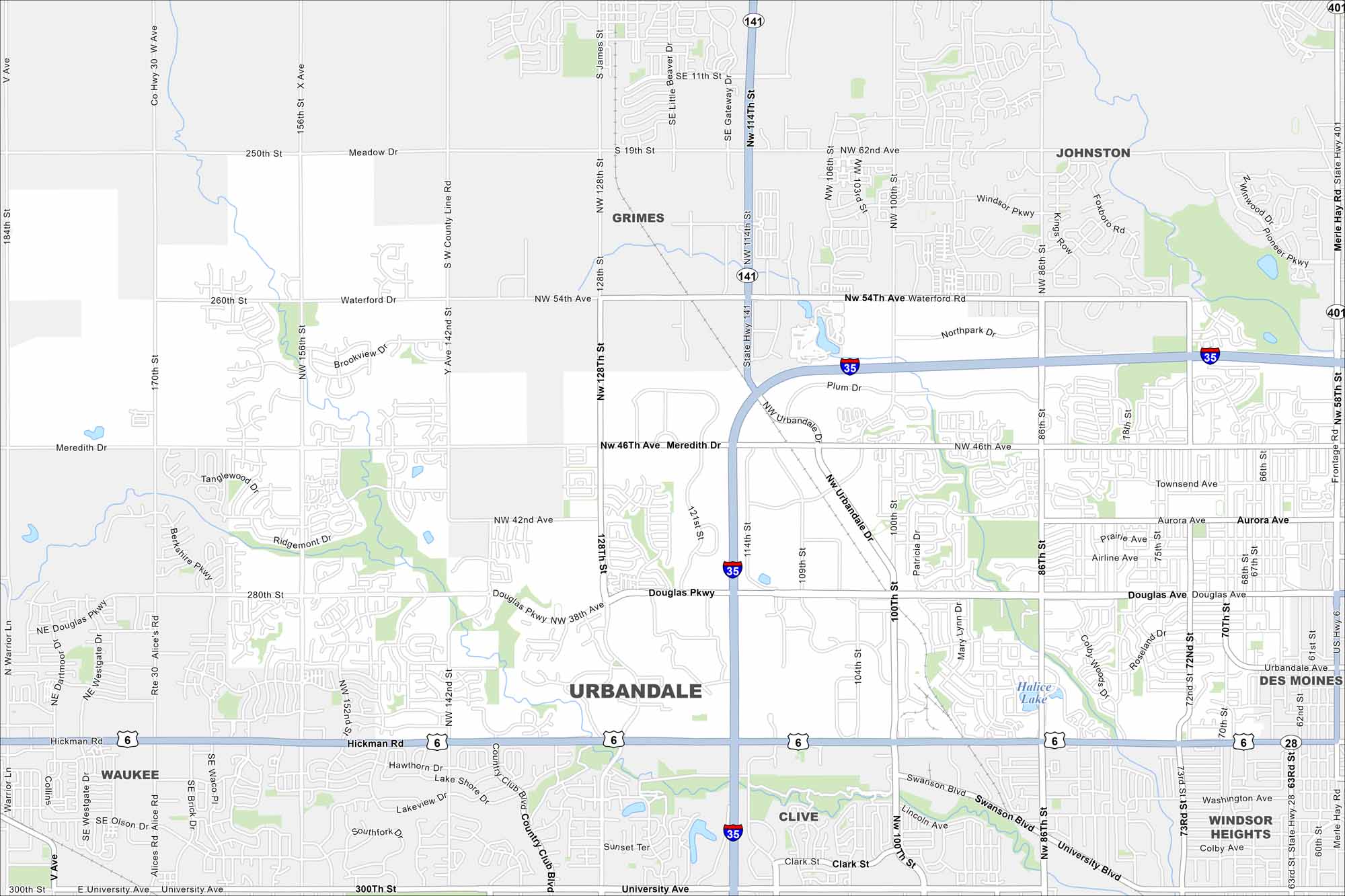
Map Information
On the Map
Interstates/Highways: I-35, US Hwy 6, State Hwy 141, State Hwy 28 Major Roads: Hickman Rd, Douglas Pkwy, Meredith Dr, NW 100th St, NW 86th St, NW 128th St, University Ave, NW 54th Ave, Waterford Rd, Aurora Ave, Urbandale Ave, Plum Dr, Swanson Blvd, 70th St, 73rd St, 156th St, 142nd St, Alice’s Rd, Berkshire Pkwy, Meadow Dr Lakes and Reservoirs: Halice Lake Nearby Communities: Johnston, Grimes, Des Moines, Clive, Windsor Heights, WaukeeIowa City Maps
Browse city maps in the state of Iowa


