Treaty of Adams-Onis 1819 Map
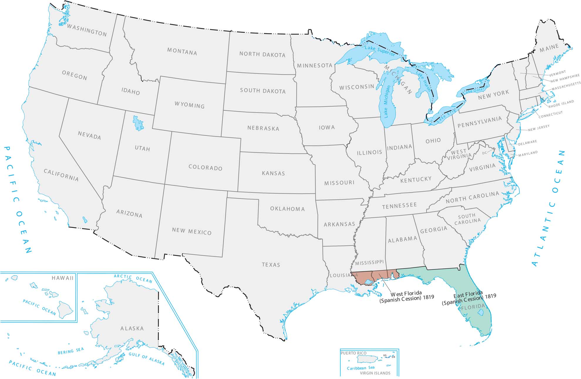
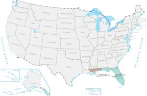
Our Treaty of Adams-Onis 1819 map shows the U.S. acquiring the Atlantic coast. Getting Florida was important because it’s a huge peninsula with access to shipping routes. This meant America finally controlled the whole southeastern corner and Gulf Coast.
Map Information
On the Map
Here is a chronological breakdown of how the United States grew from the original colonies to its current span.
|
Year |
Acquisition Name |
Source / Former Entity |
|
1783 |
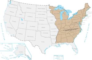
Territory of the Original Thirteen States |
Ceded by Great Britain |
|
1803 |
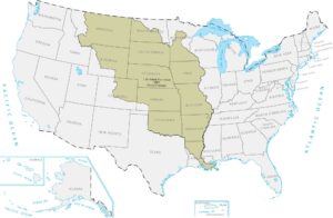
Louisiana Purchase |
Purchased from France |
|
1818 |
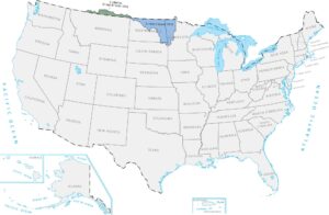
British Cession |
Great Britain |
|
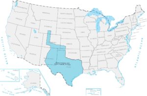
1819 |
Spanish Cession (Florida, parts of LA/CO) |
Spain |
|
1845 |
Texas Annexation |
Former Republic of Texas |
|
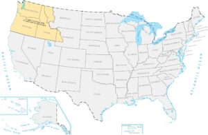
1846 |
Oregon Territory |
Treaty with Great Britain |
|
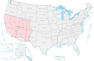
1848 |
Mexican Cession |
Mexico |
|
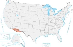
1853 |
Gadsden Purchase |
Purchased from Mexico |
|
1867 |
Alaska Purchase |
Purchased from Russia |
|
1898 |
Hawaii Annexation |
Former Republic of Hawaii |
|
1898 |
Puerto Rico |
Ceded by Spain |
|
1917 |
Virgin Islands |
Purchased from Denmark |
Maps of Territory Acquisition
Map the milestones of the American footprint.