Puerto Rico and Virgin Islands Territory Acquisition Map
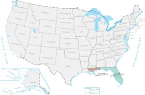
These Caribbean islands became US territories after a war with Spain and a purchase from Denmark. Puerto Rico and the Virgin Islands are tropical island chains way down in the Atlantic. Although they’re nowhere near the mainland, it gave America control over important shipping lanes in the Caribbean.
Map Information
On the Map
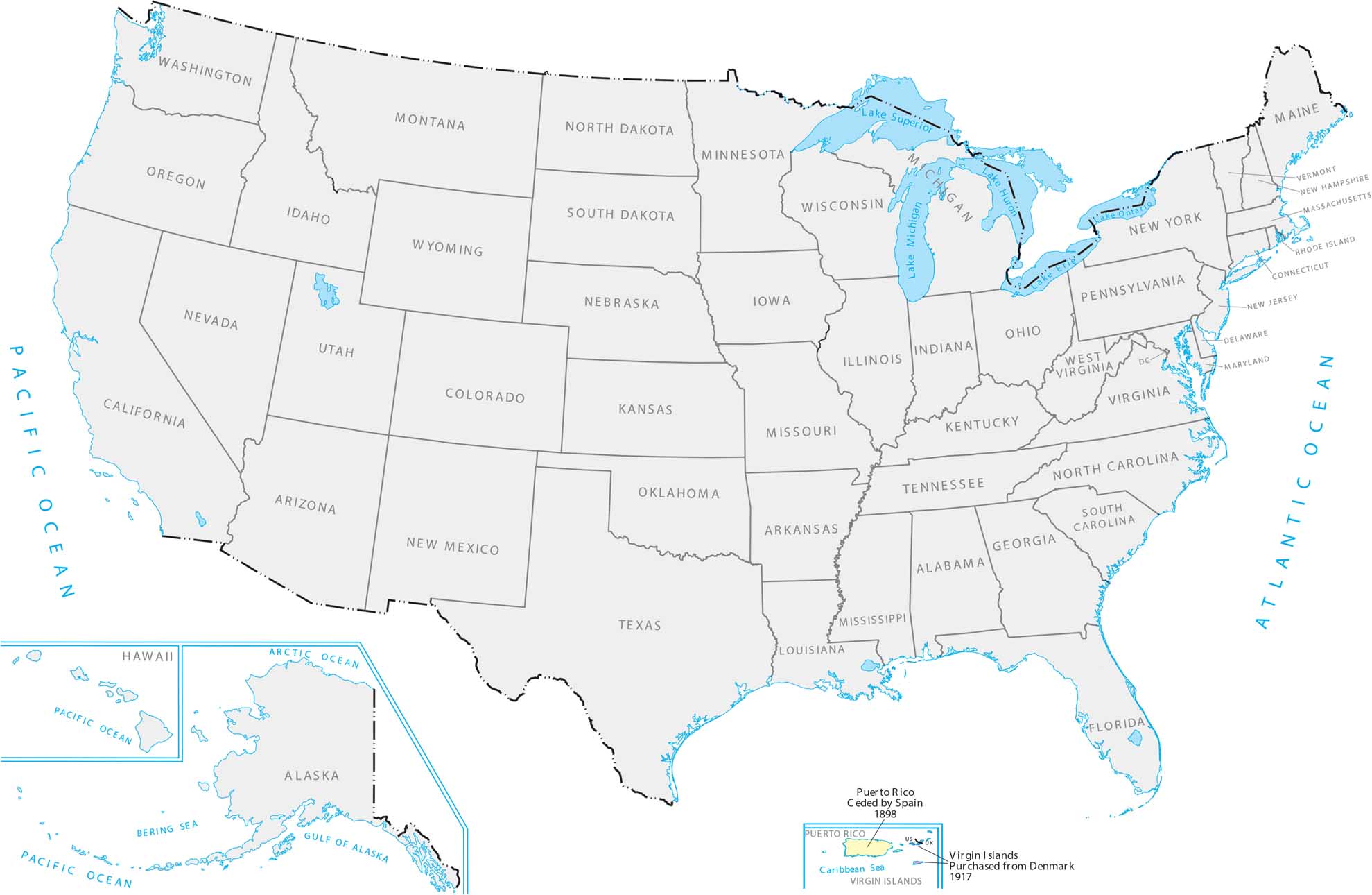
Here is a chronological breakdown of how the United States grew from the original colonies to its current span.
|
Year |
Acquisition Name |
Source / Former Entity |
|
1783 |
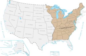
Territory of the Original Thirteen States |
Ceded by Great Britain |
|
1803 |
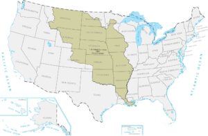
Louisiana Purchase |
Purchased from France |
|
1818 |
British Cession |
Great Britain |
|
1819 |
Spanish Cession (Florida, parts of LA/CO) |
Spain |
|
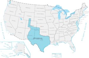
1845 |
Texas Annexation |
Former Republic of Texas |
|
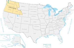
1846 |
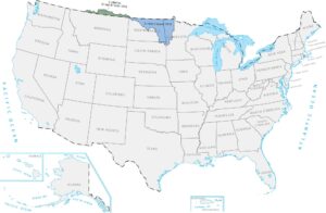
Oregon Territory |
Treaty with Great Britain |
|
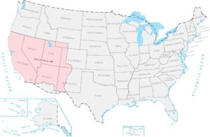
1848 |
Mexican Cession |
Mexico |
|
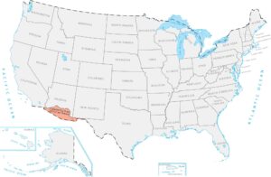
1853 |
Gadsden Purchase |
Purchased from Mexico |
|
1867 |
Alaska Purchase |
Purchased from Russia |
|
1898 |
Hawaii Annexation |
Former Republic of Hawaii |
|
1898 |
Puerto Rico |
Ceded by Spain |
|
1917 |
Virgin Islands |
Purchased from Denmark |
Maps of Territory Acquisition
Map the milestones of the American footprint.