Map of West Allis, Wisconsin
Our map of West Allis highlights this Milwaukee suburb’s busy streets. Once tied to industry, today it’s known for its fairs and shops.
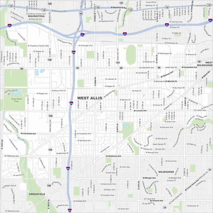
Our map of West Allis highlights this Milwaukee suburb’s busy streets. Once tied to industry, today it’s known for its fairs and shops.
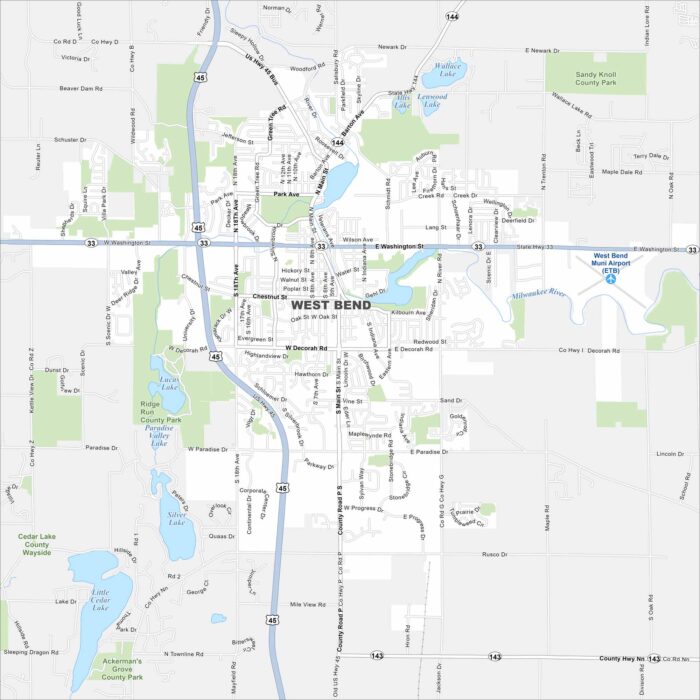
We’ve mapped out every major road in West Bend, north of Milwaukee. The city is close to the Kettle Moraine State Forest.
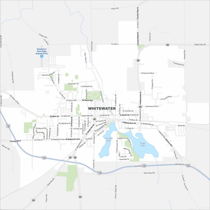
Familiarize yourself with Whitewater, home to the University of Wisconsin-Whitewater. It’s a college town surrounded by lakes and hills.
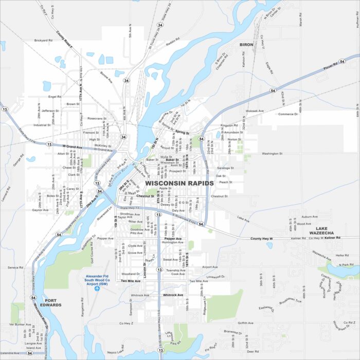
Looking for a map of Wisconsin Rapids? Look no further. The Wisconsin River runs right through the center of this paper-mill town.
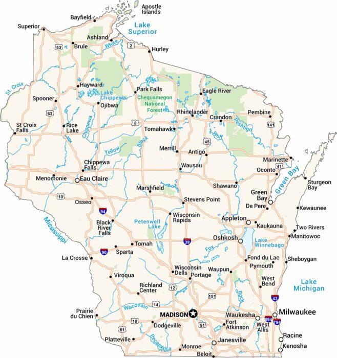
Get to know Wisconsin with our road map. It shows highways, rivers, and lakes. Cities like Milwaukee and Madison stand out as major cities.