Map of Powell, Ohio
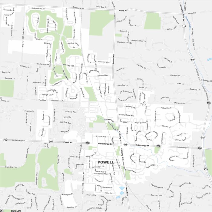
Powell is a small but fast-growing suburb just north of Columbus. Our map shows how neighborhoods connect with parks and railways.
Powell is a small but fast-growing suburb just north of Columbus. Our map shows how neighborhoods connect with parks and railways.
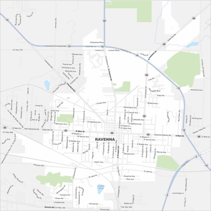
Our map of Ravenna shows the small-town grid and routes through Portage County. It’s a city with deep roots in manufacturing and agriculture.
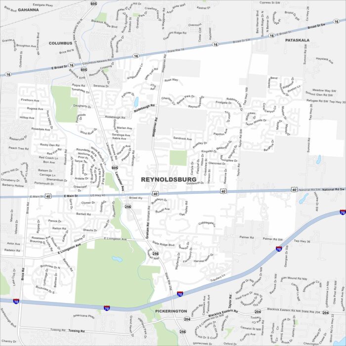
Our map lays out Reynoldsburg, Ohio. Known as the “Birthplace of the Tomato”, the annual Tomato Festival brings in crowds from across Ohio.
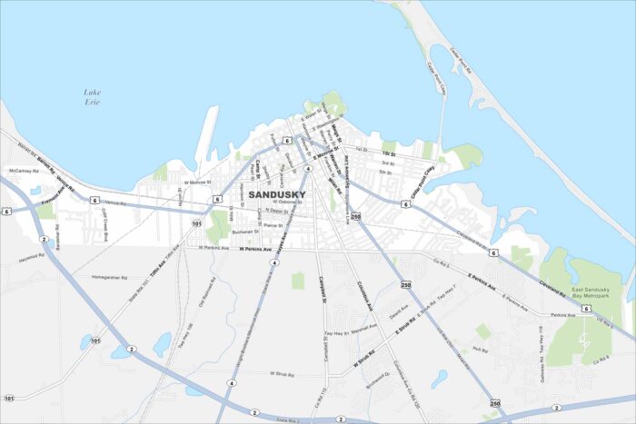
Our map of Sandusky shows the waterfront and the roads leading to Cedar Point. It’s a lakefront town that draws visitors all summer long.
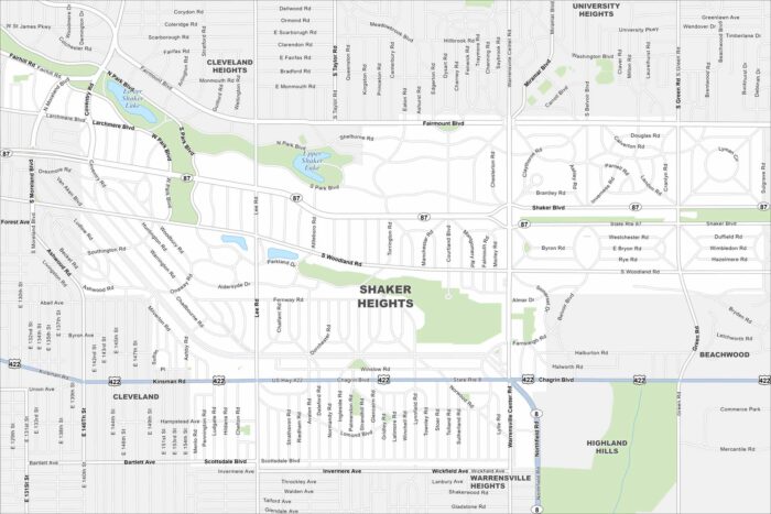
Start with this map of Shaker Heights. This Cleveland suburb has tree-lined streets, historic homes and much more.
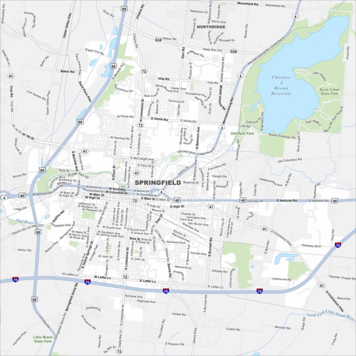
Our map of Springfield highlights the city between Dayton and Columbus. You’ll find local parks and a downtown filled with character.
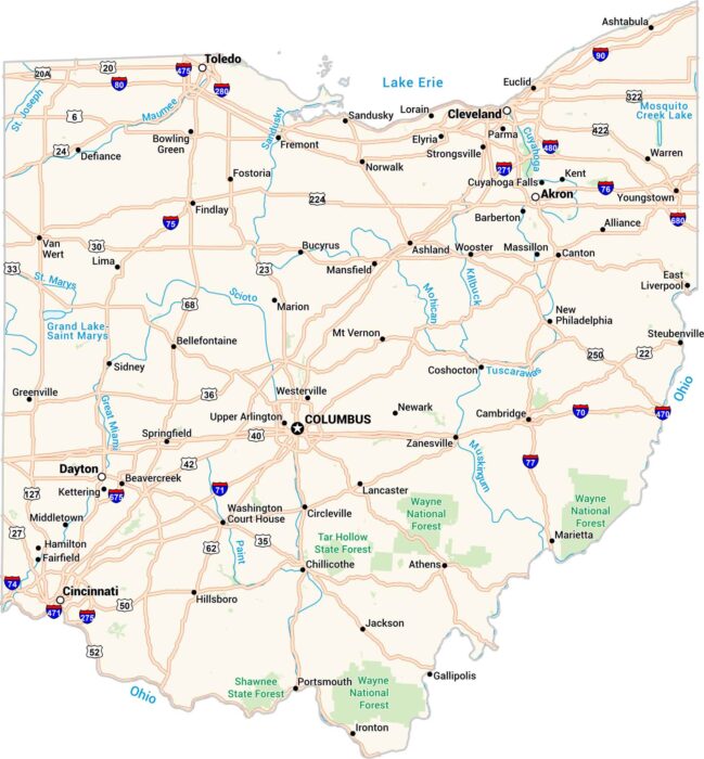
Ohio has its own rhythm. Cities, rivers, and rolling farmland are all connected by its interstates. Our Ohio map lays it all out clearly.
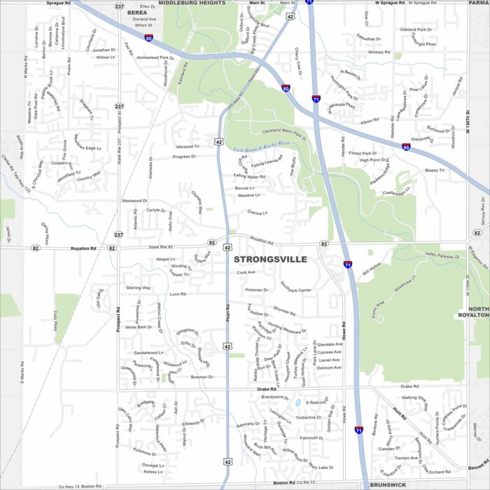
Here’s a map of Strongsville, often called the Crossroads of the Nation. This is because it’s where Interstate 71 and the Ohio Turnpike meet.
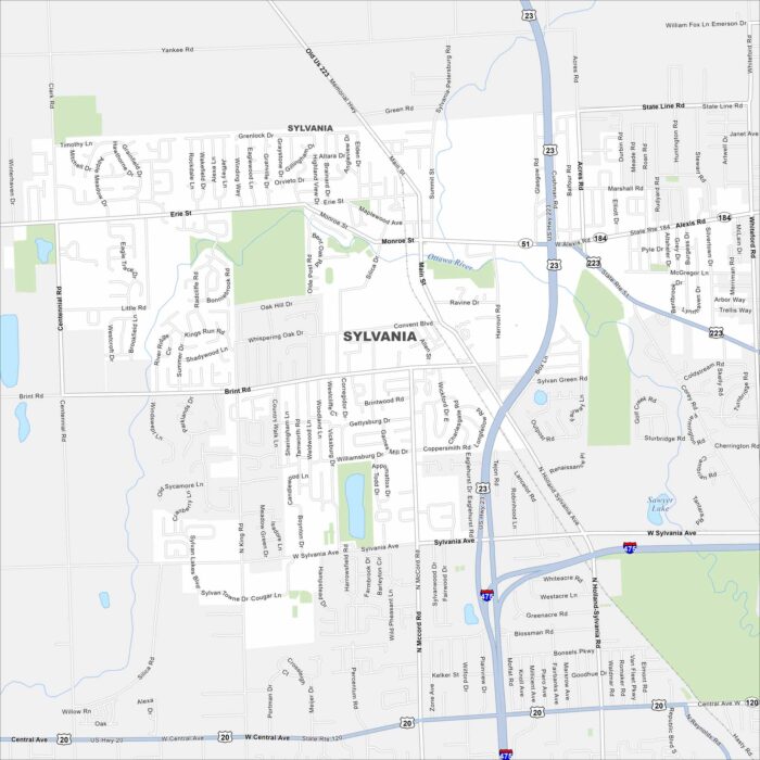
Want to explore Sylvania, Ohio? This city is situated near Toledo. It’s known for its schools, parks, annual festivals, and a community feel.
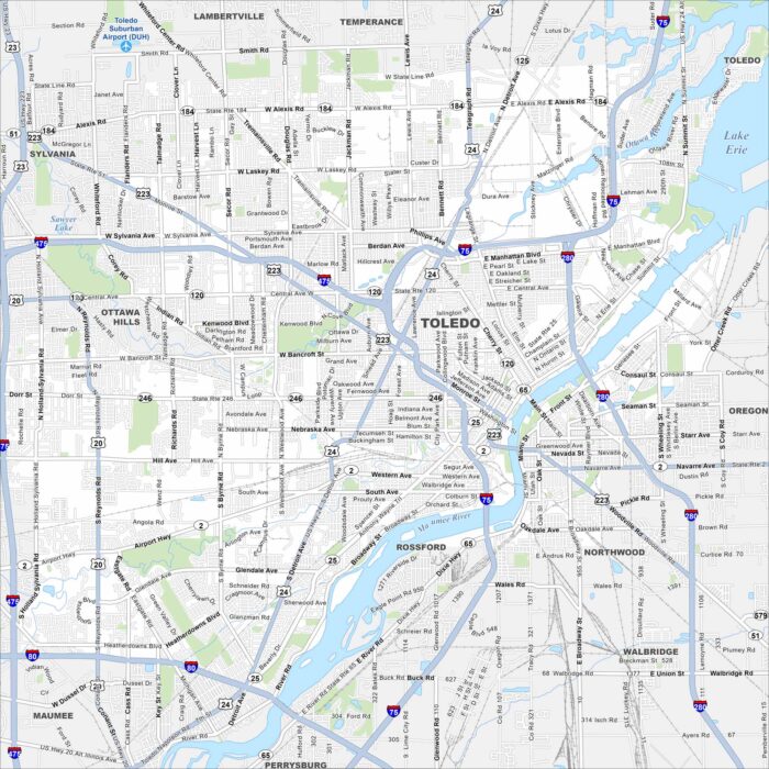
Here’s a simple map of Toledo along Lake Erie. Known for its Glass City heritage, it’s shaped by the Maumee River and Lake Erie.
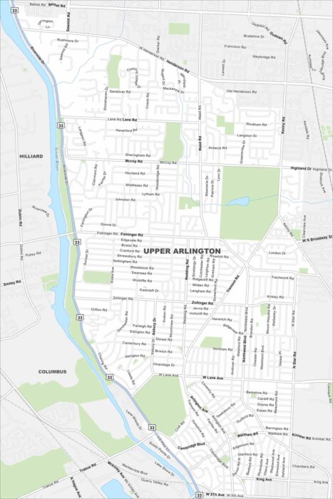
Get around Upper Arlington, a leafy suburb near Columbus. Our map highlights neighborhoods, parks, roads and the Scioto River.
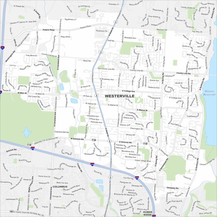
Our Westerville map shows this suburban city just north of Columbus. It’s home to Otterbein University and a lot of historic neighborhoods.
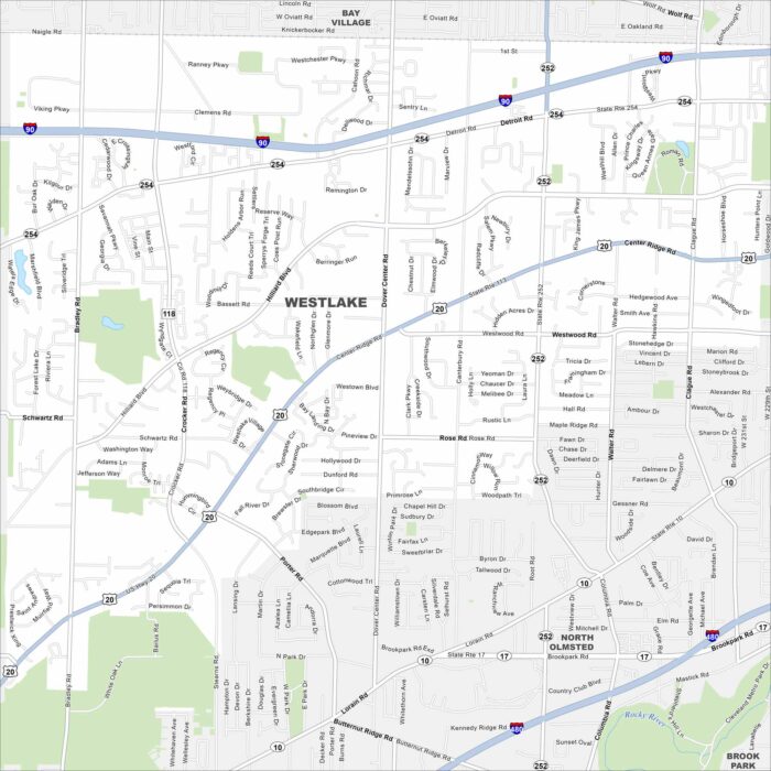
Get around Westlake, a western suburb of Cleveland. The city offers parks, shopping centers, and quick access to Lake Erie.
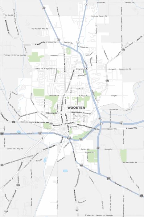
This map of Wooster shows the college town’s downtown and green campus spaces. It’s the seat of Wayne County in northeast Ohio.
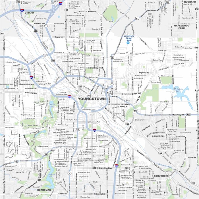
Our map of Youngstown shows the downtown area and Mahoning River setting. Once a steel hub, the city is now reinventing itself.