Map of Shakopee, Minnesota
Our map of Shakopee helps you find your way. It’s home to Valleyfair, Canterbury Park racetrack, and a growing mix of neighborhoods.
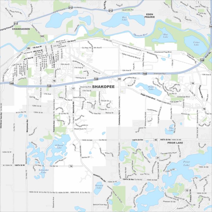
Our map of Shakopee helps you find your way. It’s home to Valleyfair, Canterbury Park racetrack, and a growing mix of neighborhoods.
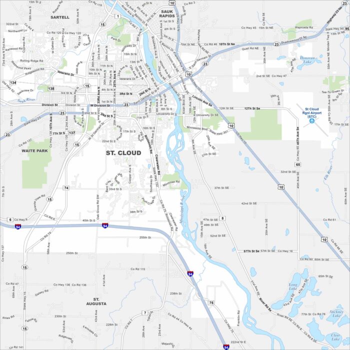
Our map of St. Cloud shows the Mississippi River running through downtown. The city is home to a university, trails, and riverfront parks.
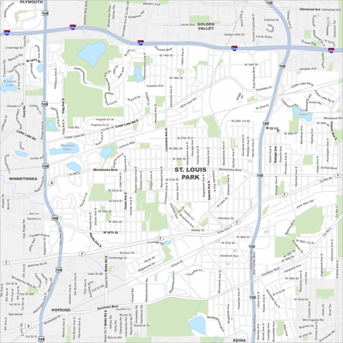
Get around St. Louis Park with our map. The city sits just west of Minneapolis and is filled with trails, parks, and active communities.
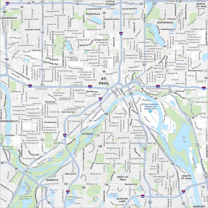
Our map of St. Paul highlights the state capital’s riverfront and roadways. The “S” shape bend of the Mississippi River really stands out.
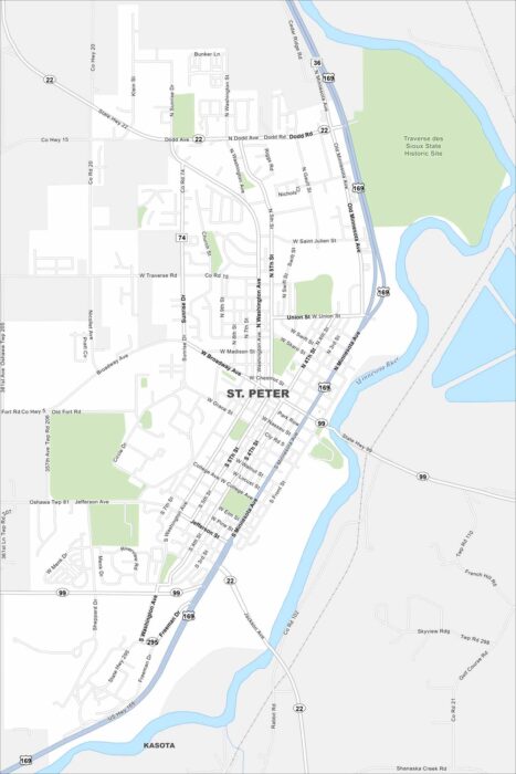
Our map of St. Peter shows a small town with charm. Gustavus Adolphus College brings energy, events, and activity to the community.
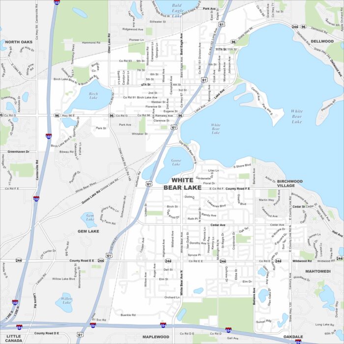
Need directions for White Bear Lake? This city north of St. Paul is named for its large lake, a favorite for boating and fishing.
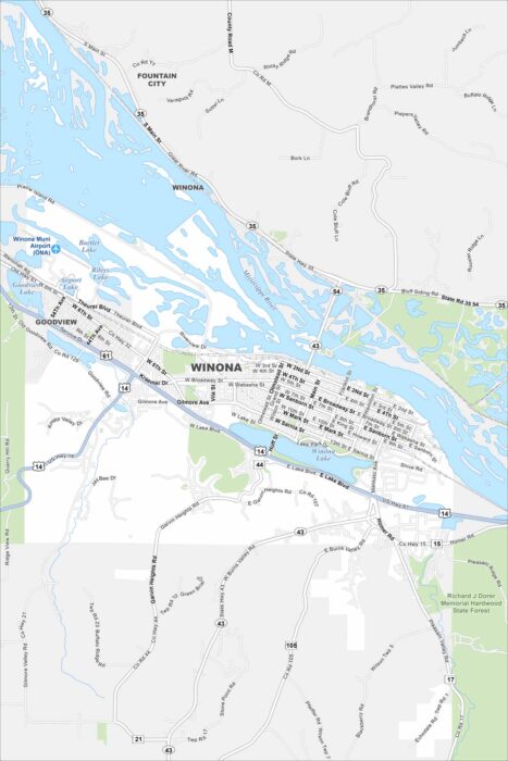
Our map of Winona shows its prime spot along the Mississippi River. Surrounded by bluffs, it’s one of Minnesota’s most scenic river towns.
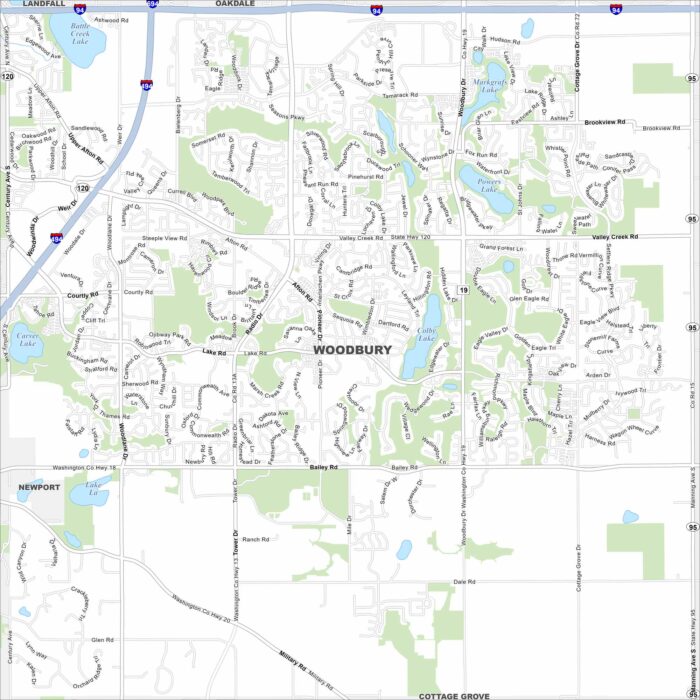
Our map of Woodbury highlights one of the Twin Cities’ largest suburbs. Lakes, trails, and neighborhoods spread across the area.