Map of Somerville, Massachusetts
This street map of Somerville shows the main highways here. This city is located to the northwest of Boston in Middlesex County.
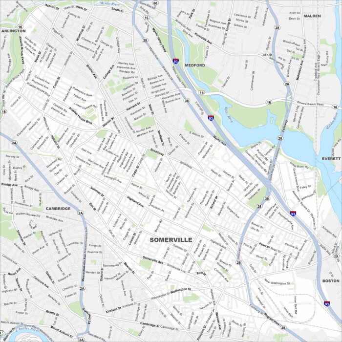
This street map of Somerville shows the main highways here. This city is located to the northwest of Boston in Middlesex County.
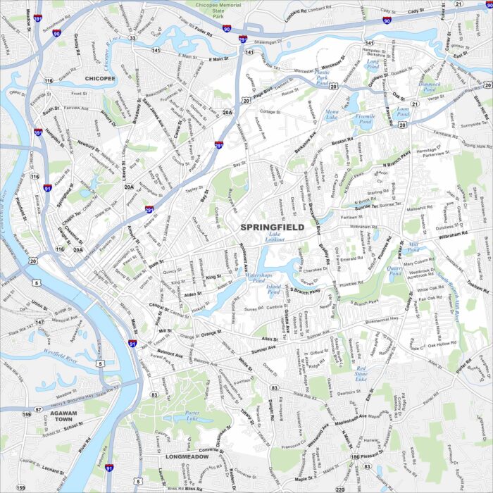
Our map of Springfield shows this Connecticut River city in western Massachusetts. It’s the birthplace of basketball and much more.
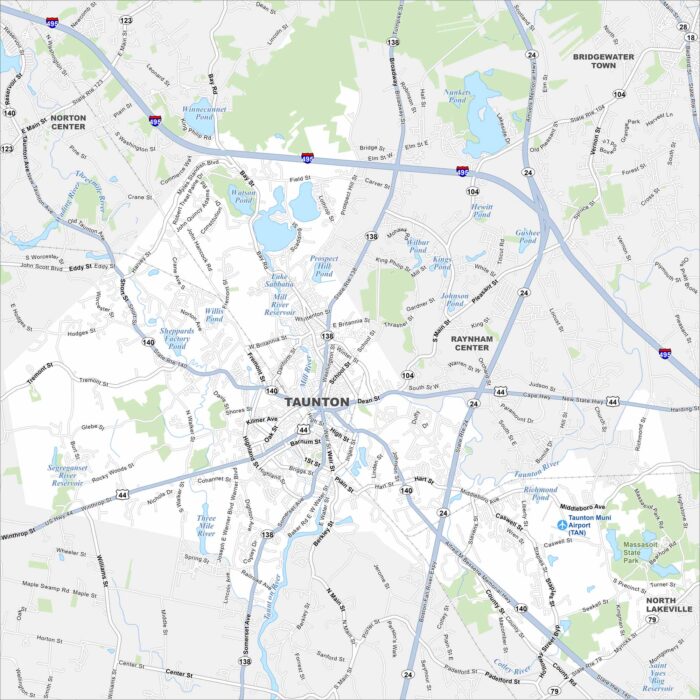
Our Taunton map shows you around the “Silver City”. It’s a historic New England community with easy access to Boston.
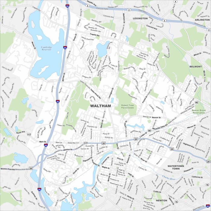
Our map of Waltham shows you around this historic mill city. Along the Charles River, it’s home to Brandeis University and Moody Street.
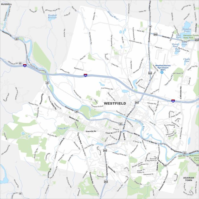
Here’s a simple map of Westfield, Massachusetts. You’ll find this city along the Westfield River with a college community feel.
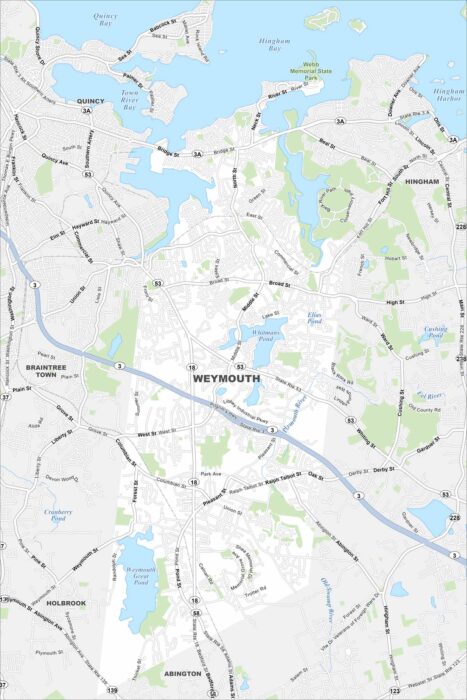
We’ve mapped out every major road in Weymouth on Boston’s South Shore. It’s one of the oldest towns in Massachusetts with a busy harbor.
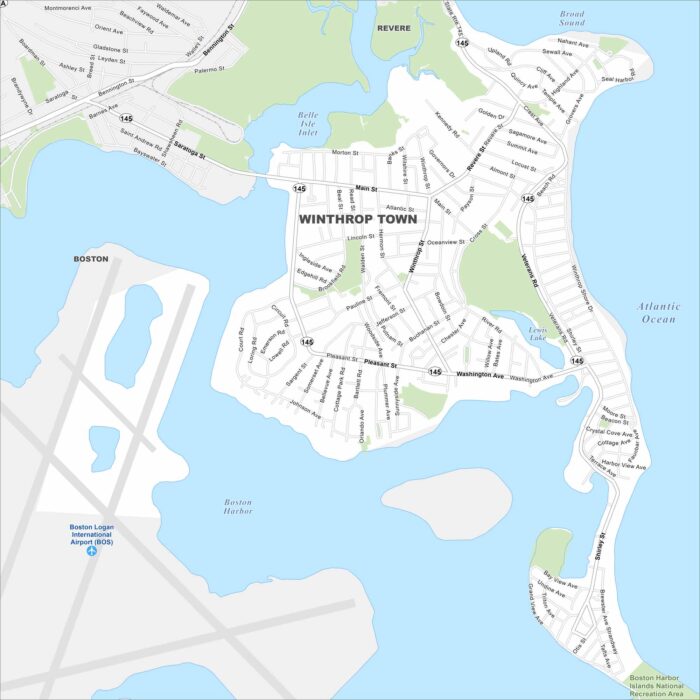
Here’s our map of Winthrop, a coastal town near Boston. Beaches and harbor views shape its peninsula setting.
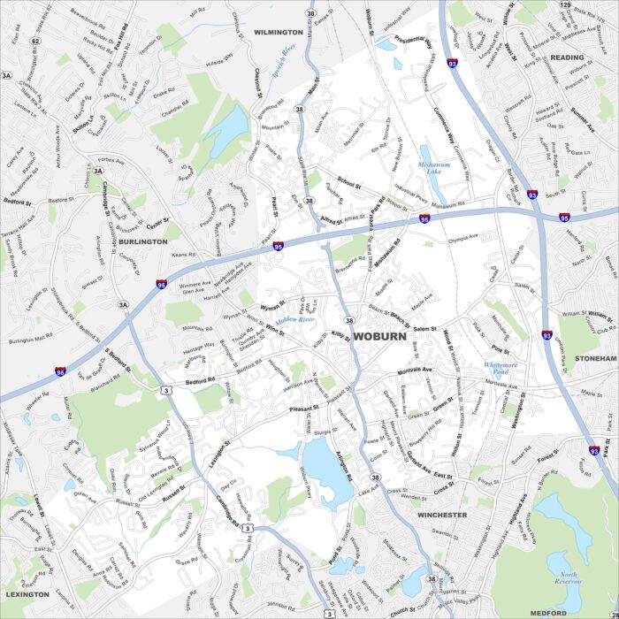
Our map of Woburn shows you the historic side of New England. The city is north of Boston and combines old neighborhoods with modern industry.
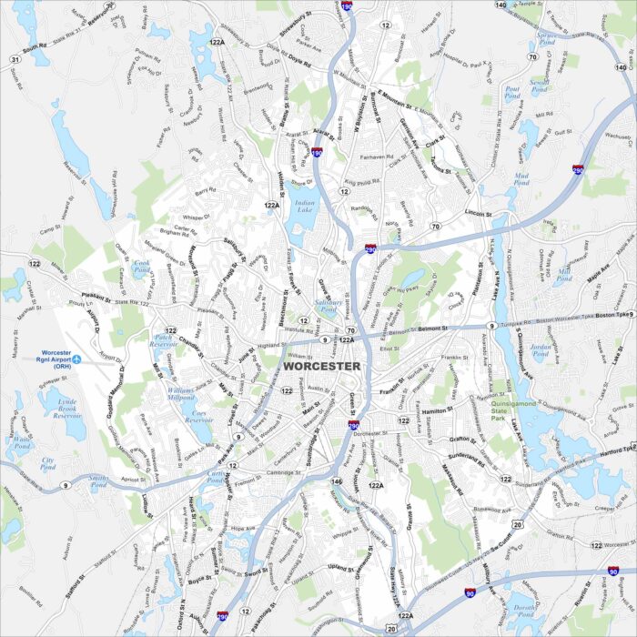
This Worcester map shows the state’s second-largest city. From its downtown core to surrounding hills, it’s a central hub of New England.