Deep South Map
The Deep South dominates the southeastern portion of the United States. We’ve labeled the region on our map with an orange color.
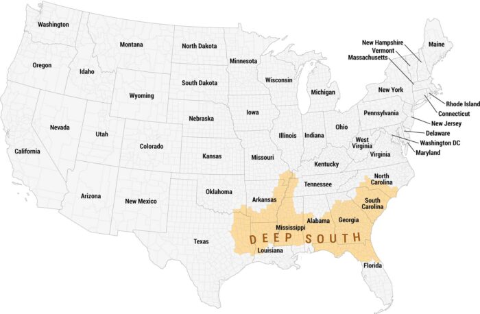
The Deep South dominates the southeastern portion of the United States. We’ve labeled the region on our map with an orange color.
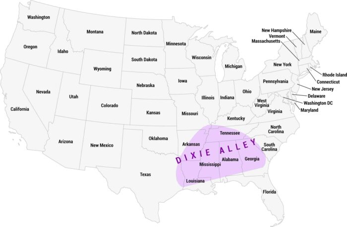
Dixie Alley is a region of the southern United States prone to deadly tornadoes. It’s especially dangerous due to its higher population.
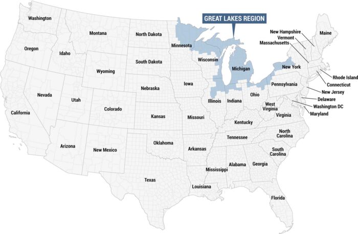
This map highlights the Great Lakes Region in blue, identified by a labeled callout box at the top. We’re showing all other states in gray.

Our map displays the Great Plains in pink. In general, this region stretches in a north-to-south band through the center of the country.
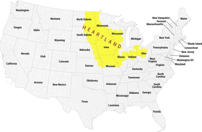
This is a full reference map highlighting America’s Heartland in yellow. Our map distinguishes the region from the remaining states in gray.
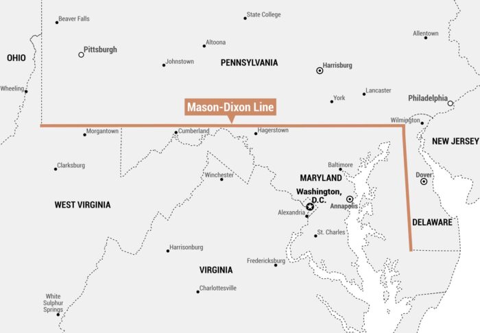
As shown on our Mason–Dixon Line map, it runs east-west along Pennsylvania’s southern border with Maryland and Delaware.
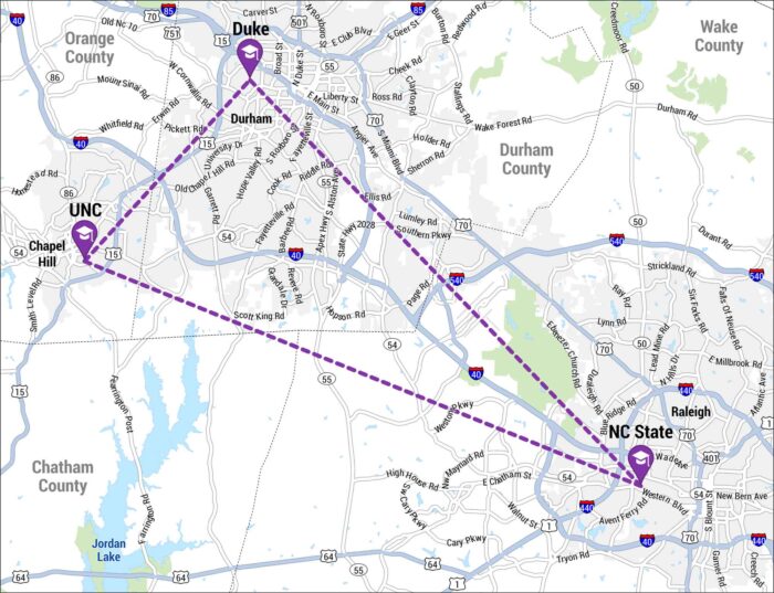
The Research Triangle is a region in North Carolina formed by Raleigh, Durham, and Chapel Hill. Our map shows the three cities in a triangle.
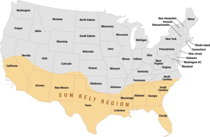
See how the Sun Belt stretches across the southern United States on our map. We show the Sun Belt highlighted in orange, coast-to-coast.
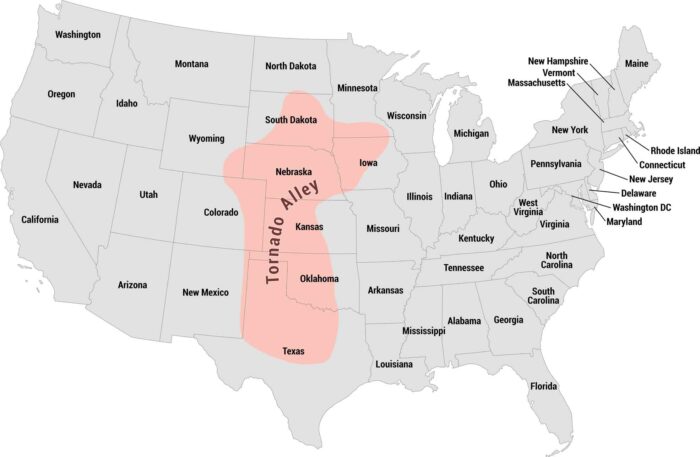
Tornado Alley cuts straight through the heart of the country. Our map shows this region from Texas up through Kansas, Oklahoma, and beyond.