Great Lakes Region Map
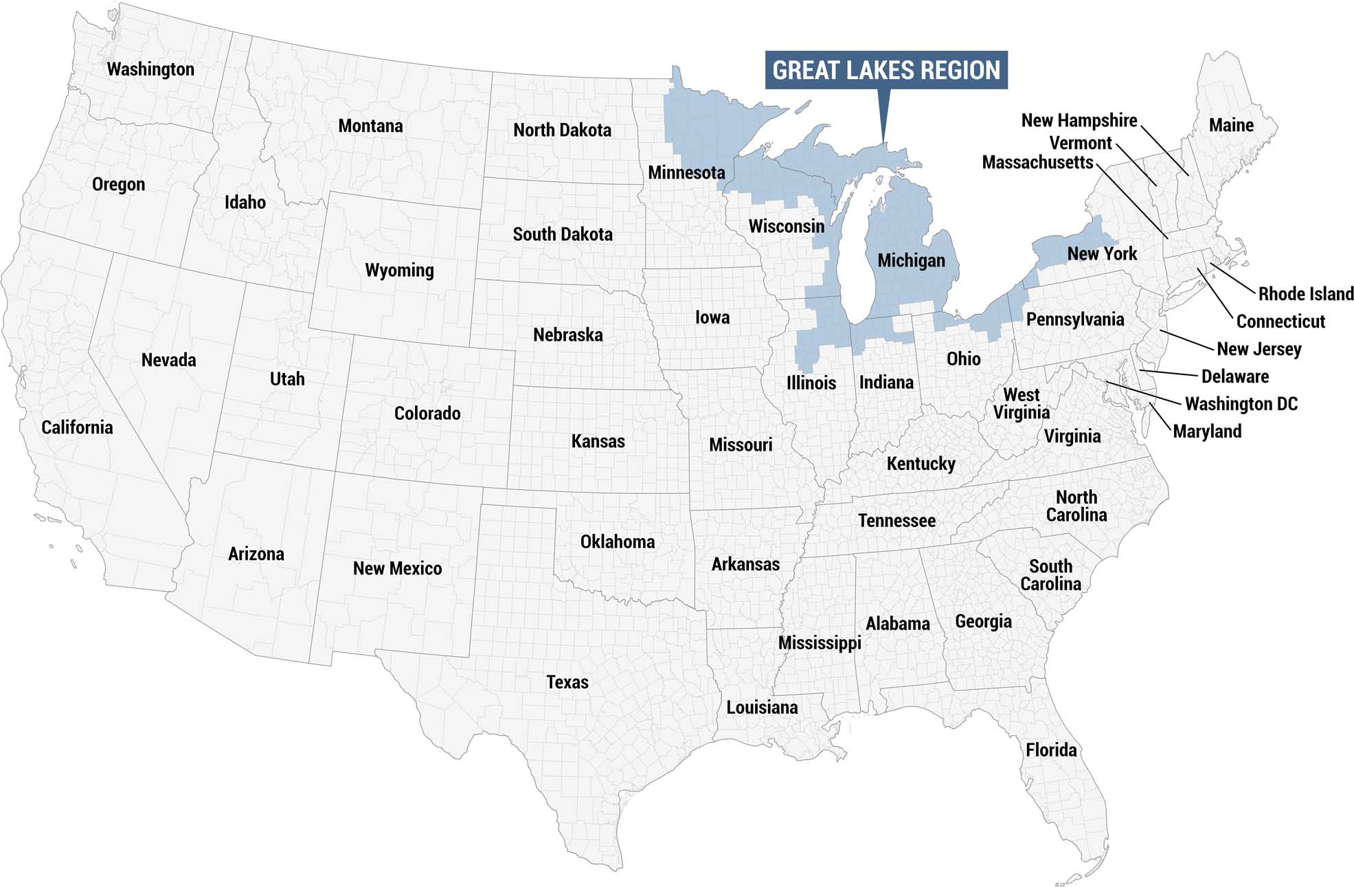
This map highlights the Great Lakes Region in blue, identified by a labeled callout box at the top. We’re showing all remaining states in gray.
Map Information
On the Map
Great Lakes States: Minnesota, Wisconsin, Michigan, Illinois, Indiana, Ohio, Pennsylvania, New York Other States: Washington, Oregon, California, Nevada, Idaho, Montana, Wyoming, Utah, Colorado, Arizona, New Mexico, North Dakota, South Dakota, Nebraska, Kansas, Oklahoma, Texas, Arkansas, Louisiana, Mississippi, Alabama, Georgia, Florida, Tennessee, Kentucky, West Virginia, Virginia, North Carolina, South Carolina, Maryland, Delaware, Washington DC, New Jersey, Connecticut, Rhode Island, Massachusetts, Vermont, New Hampshire, Maine, Iowa, MissouriCultural Region Maps
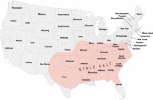
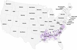
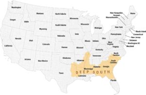
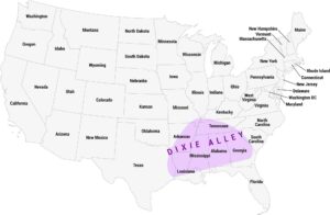
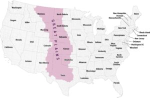
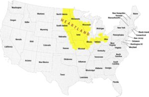
Regions defined by culture, climate patterns, history, or shared identity.