Heartland America Map
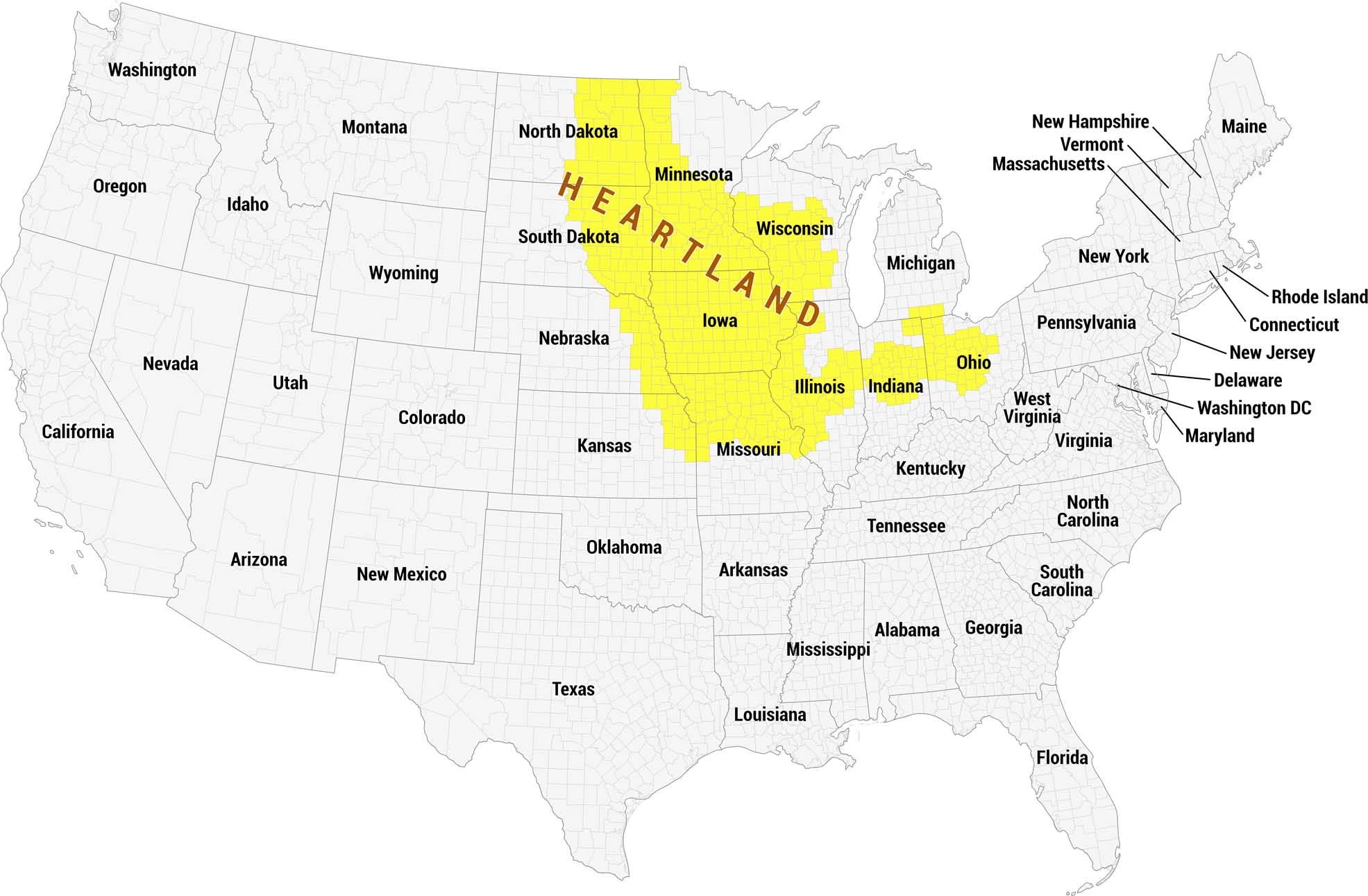
This is a full US reference map highlighting the Heartland United States in yellow. Our map distinguishes the region from the remaining states shown in gray.
Map Information
On the Map
Heartland States: Minnesota, Wisconsin, Iowa, Illinois, Indiana, Ohio, Missouri, South Dakota, North Dakota Other States: Washington, Oregon, California, Nevada, Idaho, Montana, Wyoming, Utah, Colorado, Arizona, New Mexico, Nebraska, Kansas, Oklahoma, Texas, Arkansas, Louisiana, Mississippi, Alabama, Georgia, Florida, Tennessee, Kentucky, West Virginia, Virginia, North Carolina, South Carolina, Michigan, Pennsylvania, New York, Maine, New Hampshire, Vermont, Massachusetts, Rhode Island, Connecticut, New Jersey, Delaware, Maryland, Washington DCCultural Region Maps
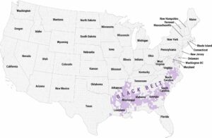
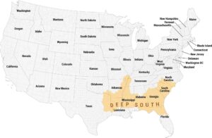
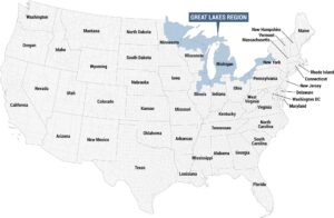
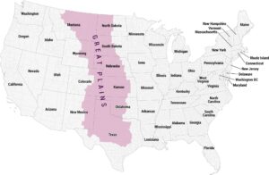
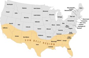
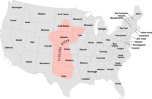
Regions defined by culture, climate patterns, history, or shared identity.