Map of Stafford, Texas
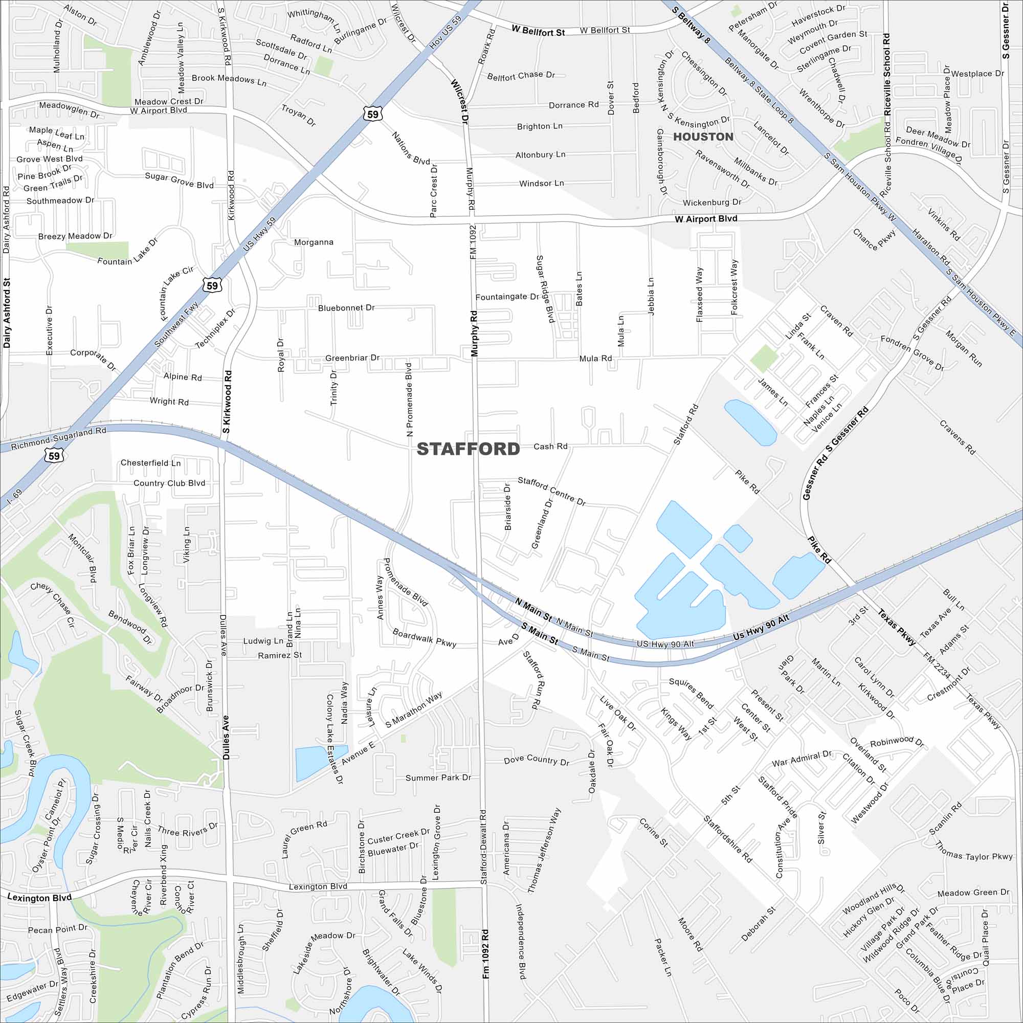
Get to know Stafford with our road map. This Houston-area city is unique for having no city property taxes and strong local businesses. But the status of no city property may be coming to an end.
Map Information
On the Map
Interstates/Highways: US Hwy 59, US Hwy 90, State Rte 8 Major Roads: Southwest Fwy, Beltway 8, Airport Blvd, Kirkwood Rd, Murphy Rd, Main St, Promenade Blvd, Dulles Ave, Lexington Blvd, Cash Rd, Mula Rd, Greenbriar Dr, Corporate Dr, Stafford Rd, Pike Rd, Present St, Independence Blvd, Staffordshire Rd, Moore Rd, Scanlin Rd Nearby Communities: Houston, Missouri CityTexas State Maps
Scan our maps of the massive southern state of Texas.


City Maps of Texas
Explore our map collection of Texas cities.


