Map of St. Peter, Minnesota
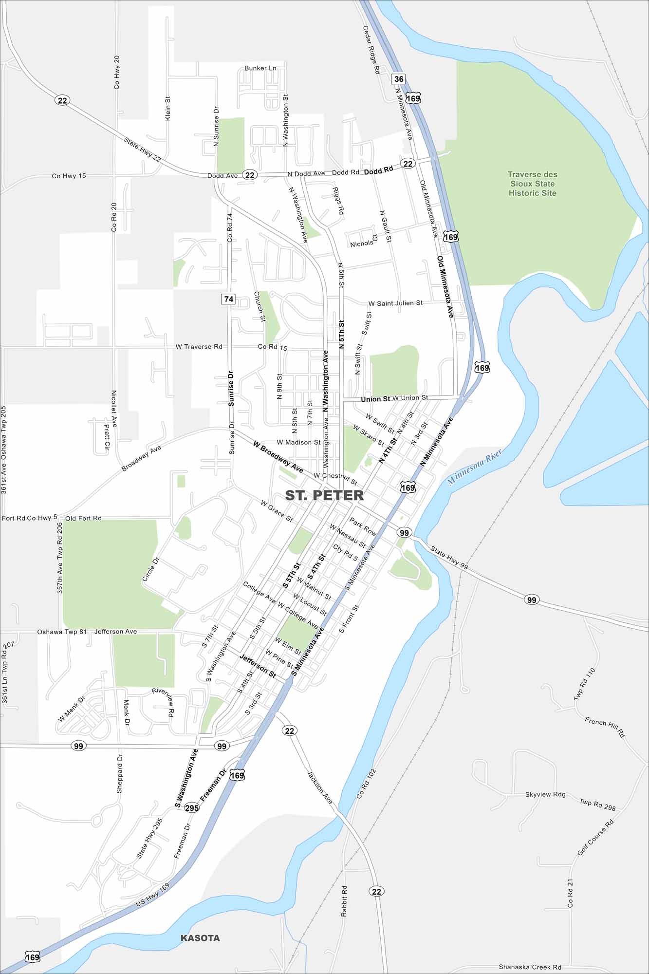
Our map of St. Peter shows a small town with charm. Gustavus Adolphus College brings energy, events, and activity to the community. The Minnesota River stands out on the east side of the city.
Map Information
On the Map
Interstates/Highways: US Hwy 169, State Rte 22, State Rte 99 Major Roads: Broadway Ave, Washington Ave, Minnesota Ave, Sunrise Dr, Jefferson Ave, Grace St, Union St, Dodd Rd, St Julien St, Park Row, College Ave, Nassau St, Chestnut St, Madison St, Traverse Rd, Freeman Dr, Gault St, Swift St, Front St, 7th St Major Rivers: Minnesota River Parks and Preserves: Traverse des Sioux State Historic Site Nearby Communities: KasotaMinnesota State Maps
Explore every lake in our state maps of Minnesota


Minnesota City Maps
Browse through our city maps of Minnesota


