Map of Springfield, Massachusetts
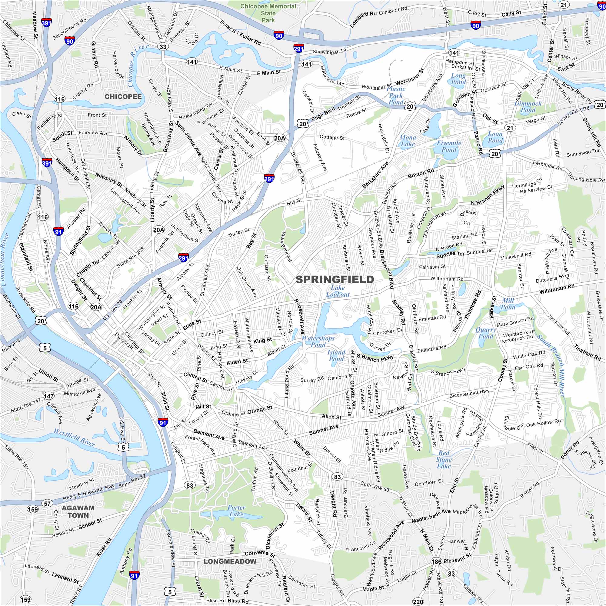
Our map of Springfield shows this Connecticut River city in western Massachusetts. It’s the birthplace of basketball and home to several museums.
Map Information
On the Map
Interstates/Highways: I-90, I-91, I-291, I-391, US Hwy 5, US Hwy 20, State Rte 20A, State Rte 21, State Rte 33, State Rte 57, State Rte 83, State Rte 116, State Rte 141, State Rte 147, State Rte 159, State Rte 186, State Rte 187, State Rte 220 Major Roads: State St, Main St, Boston Rd, Bay St, Page Blvd, Sumner Ave, Allen St, Roosevelt Ave, Liberty St, St James Ave, Berkshire Ave, Wilbraham Rd, Plumtree Rd, Cooley St, Parker St, Bicentennial Hwy, Dwight St, Belmont Ave, Carew St, Pasco Rd Lakes and Reservoirs: Lake Lookout, Watershops Pond, Island Pond, Porter Lake, Fivemile Pond, Loon Pond, Mona Lake, Long Pond, Plastic Park Pond, Red Stone Lake, Mill Pond, Quarry Pond Major Rivers: Connecticut River, Westfield River, Chicopee River Parks and Preserves: Chicopee Memorial State Park Nearby Communities: Chicopee, Agawam Town, LongmeadowMassachusetts State Maps
Here’s our state maps of Massachusetts


City Maps of Massachusetts
Explore Boston and other urban areas in Massachusetts


