Map of South Houston, Texas
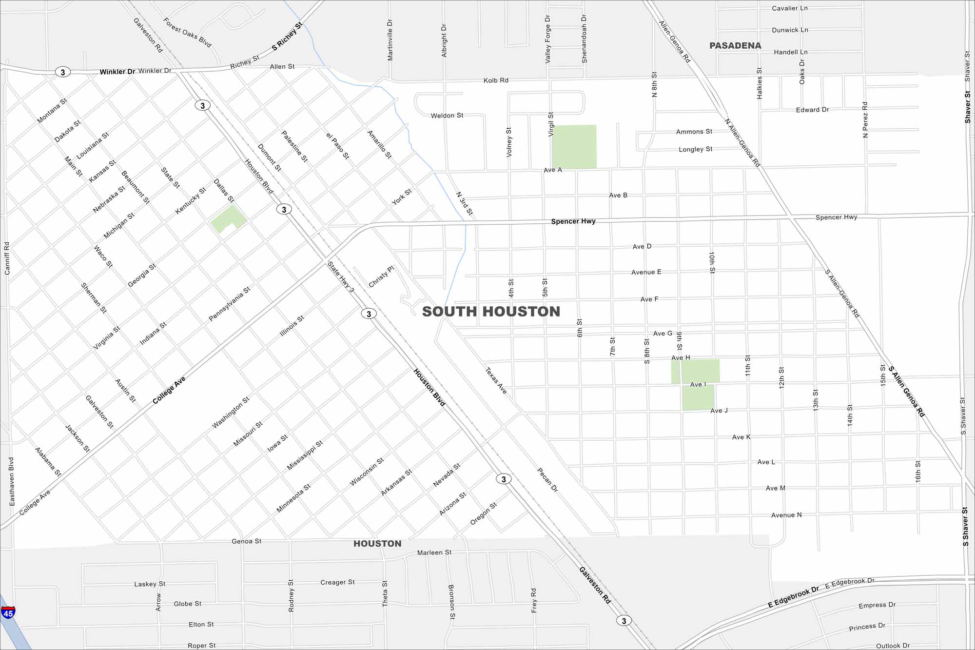
This South Houston map shows a close-knit city near Pasadena and Houston. Homes, local shops, and schools keep it grounded in community life.
Map Information
On the Map
Interstates/Highways: I-45, State Hwy 3 Major Roads: Spencer Hwy, Houston Blvd, College Ave, Galveston Rd, Winkler Dr, Richey St, Allen St, Dumont St, Pennsylvania St, Illinois St, Washington St, Missouri St, Mississippi St, Wisconsin St, Minnesota St, Texas Ave, Oregon St, Genoa St, Edgebrook Dr, Shaver St Nearby Communities: Pasadena, HoustonTexas State Maps
Scan our maps of the massive southern state of Texas.


City Maps of Texas
Explore our map collection of Texas cities.


