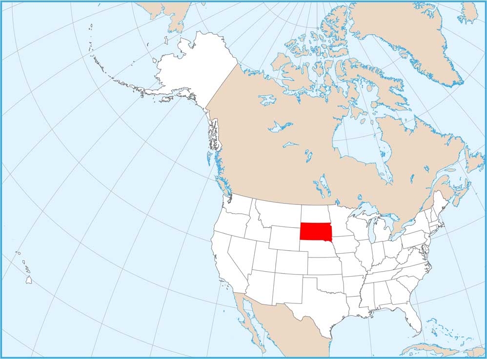
Home » State Maps » Map of South Dakota

Map of South Dakota

South Dakota Map

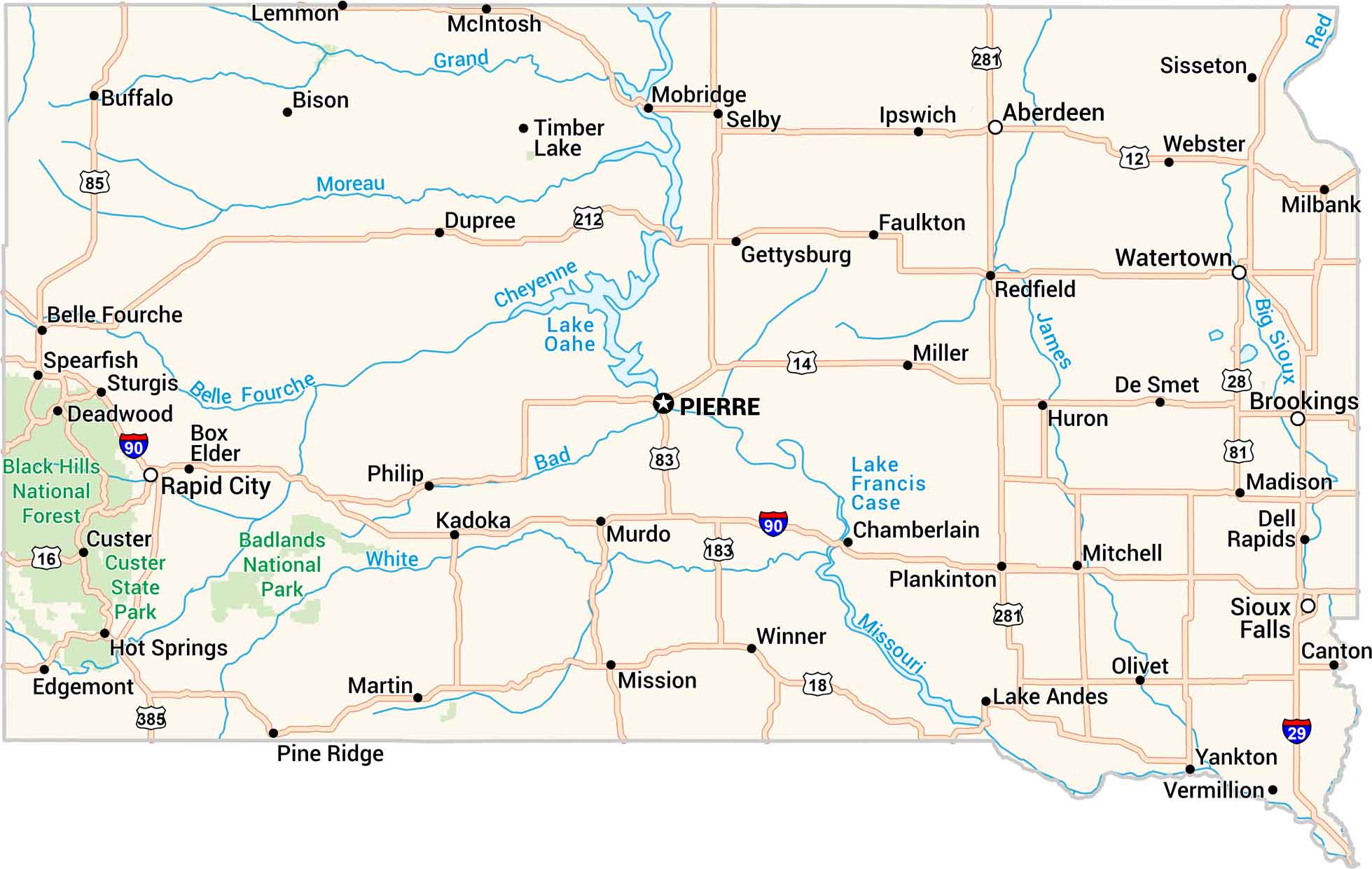
South Dakota feels wide and quiet. Our road map displays highways through open plains, past rivers, and into the Black Hills. You’ll see the Missouri cutting across the heart of the state. Mount Rushmore is here tucked into the granite. It’s simple, steady, and beautiful.
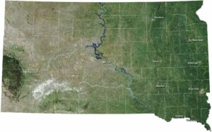
Map Information

  • State of South Dakota
  • Road Map of South Dakota
  • Free for personal and commercial purpose. Attribution is required. How to attribute?

On the Map

South Dakota Location Map
State Capital: Pierre Major Cities: Aberdeen, Rapid City, Sioux Falls Cities and Towns: Belle Fourche, Bison, Box Elder, Brookings, Buffalo, Canton, Chamberlain, Custer, Deadwood, Dell Rapids, De Smet, Dupree, Edgemont, Faulkton, Gettysburg, Hot Springs, Huron, Ipswich, Kadoka, Lake Andes, Lemmon, Madison, Martin, McIntosh, Milbank, Miller, Mission, Mitchell, Mobridge, Murdo, Olivet, Philip, Pine Ridge, Plankinton, Redfield, Selby, Sisseton, Spearfish, Sturgis, Timber Lake, Vermillion, Watertown, Webster, Winner, Yankton Interstate Highways: I-29, I-90 US Routes: US-12, US-14, US-16, US-18, US-28, US-81, US-83, US-85, US-183, US-212, US-281, US-385 Lakes and Reservoirs: Lake Francis Case, Lake Oahe Rivers and Streams: Bad River, Belle Fourche River, Cheyenne River, Grand River, James River, Missouri River, Moreau River, Red River, White River National Parks and Forests: Badlands National Park, Black Hills National Forest, Custer State Park

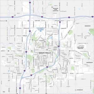
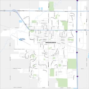
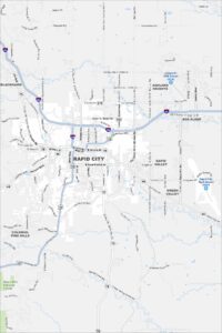
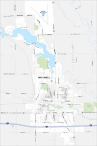
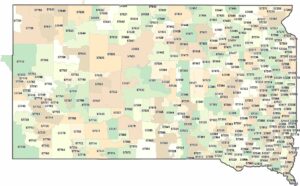
City Maps of South Dakota

Here’s where South Dakota comes into focus

References

  1. Government Website of South Dakota
  2. South Dakota in Google Maps

Leave a Reply

Your email address will not be published. Required fields are marked *