Map of Somerville, Massachusetts
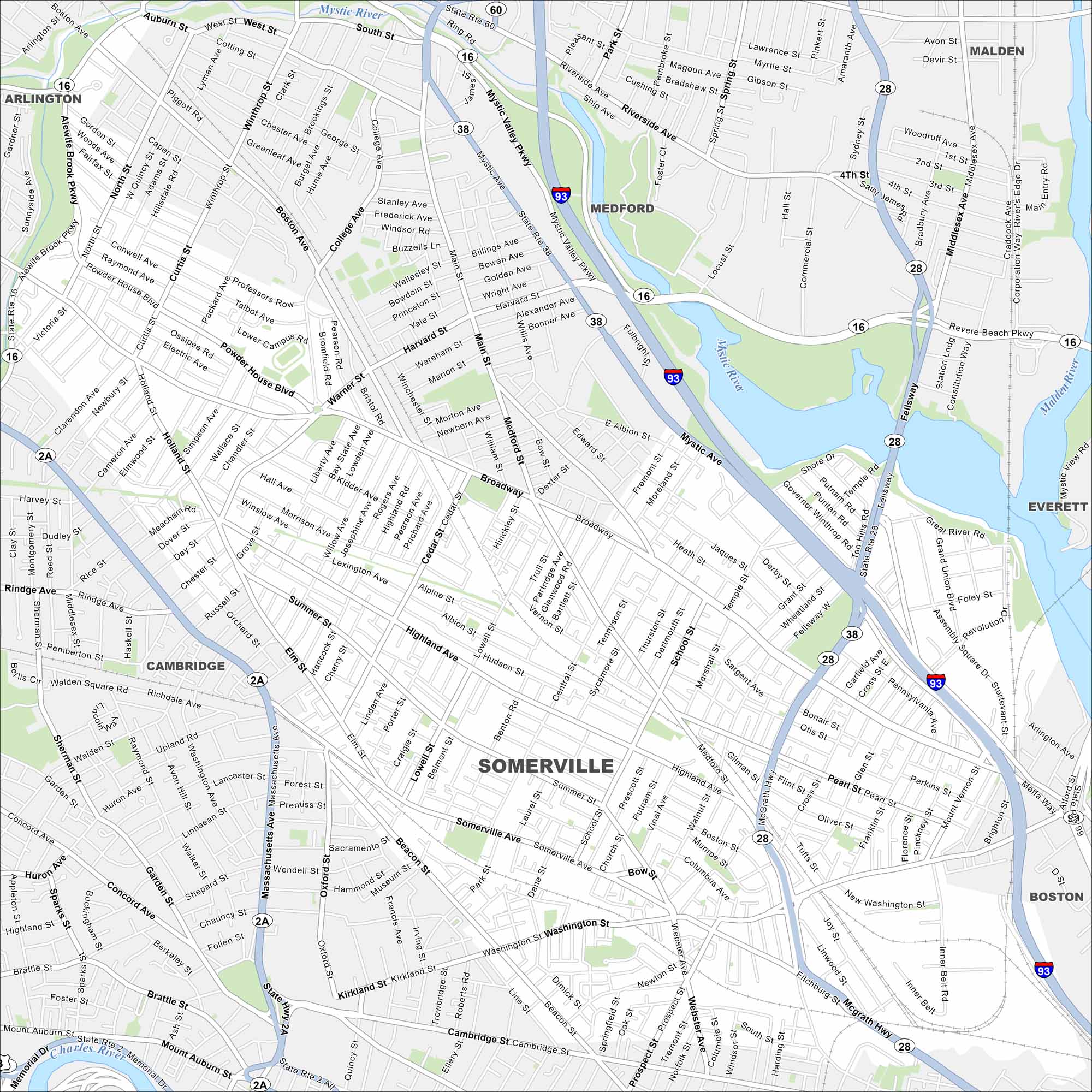
This street map of Somerville shows the main highways here. This city is located to the northwest of Boston, and north of Cambridge, in Middlesex County.
Map Information
On the Map
Interstates/Highways: I-93, State Rte 2, State Rte 2A, State Rte 16, State Rte 28, State Rte 38, State Rte 60, State Rte 99 Major Roads: Broadway, Highland Ave, Somerville Ave, Washington St, Beacon St, McGrath Hwy, Medford St, Mystic Ave, Alewife Brook Pkwy, Mystic Valley Pkwy, Fellsway, Revere Beach Pkwy, Massachusetts Ave, College Ave, Central St, Cedar St, Elm St, Main St, Willow Ave, Webster Ave Major Rivers: Mystic River, Charles River Nearby Communities: Medford, Malden, Everett, Boston, Cambridge, ArlingtonMassachusetts State Maps
Here’s our state maps of Massachusetts


City Maps of Massachusetts
Explore Boston and other urban areas in Massachusetts


