Map of Severance, Colorado
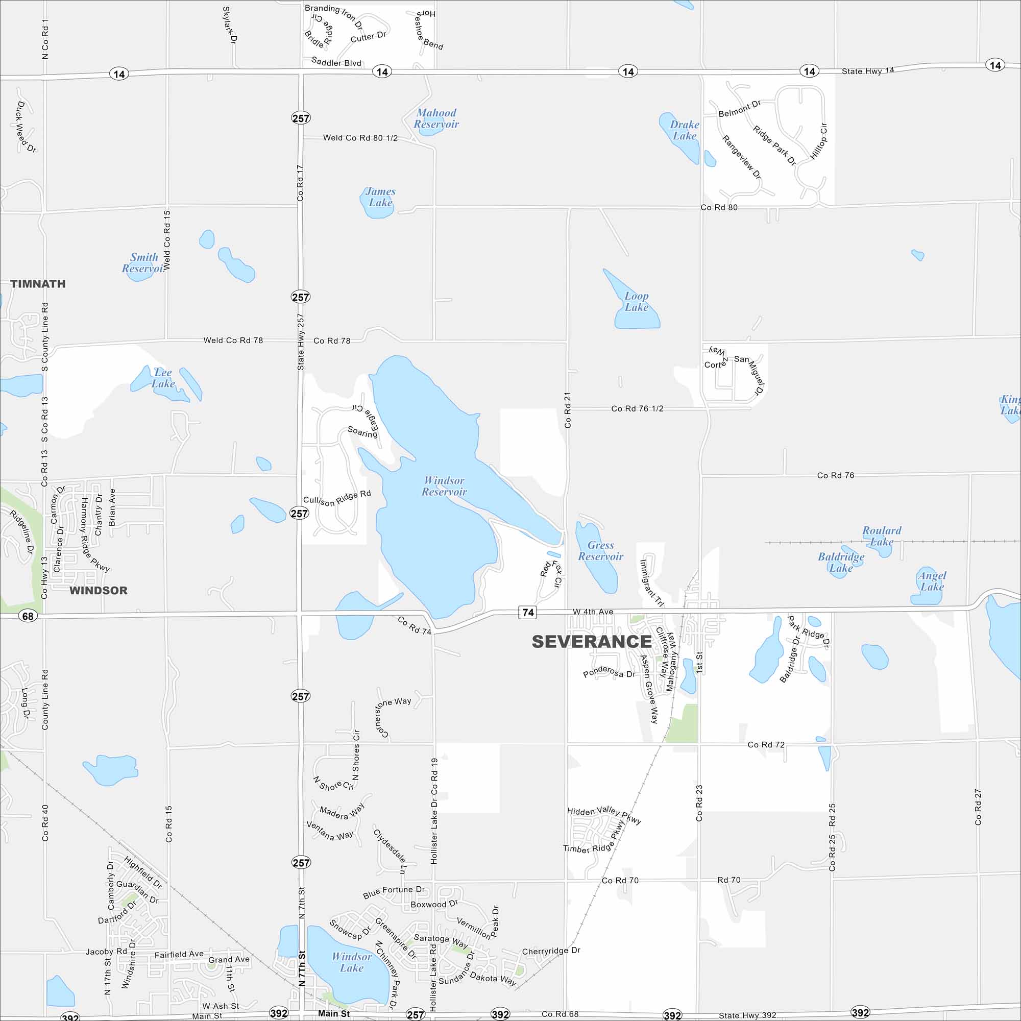
Severance is a growing community north of Denver. Our map of Severance shows the neighborhoods, open spaces, and routes connecting it to the Front Range.
Colorado State Maps
Browse Colorado with our detailed state maps


Map Information
On the Map
Interstates/Highways: State Hwy 257, State Hwy 14, State Hwy 392, State Hwy 74 Major Roads: Main St, 1st St, County Rd 74, County Rd 72, County Rd 76, County Rd 78, County Rd 80, County Rd 15, County Rd 19, County Rd 21, County Rd 23, County Rd 25, Hidden Valley Pkwy, Harmony Rd, Sunset Dr, Grand Ave, Ponderosa Dr, Mahogany Way, Cliffrose Way, Aspen Grove Way Lakes and Reservoirs: Windsor Reservoir, Gress Reservoir, Loop Lake, Drake Lake, Mahood Reservoir, James Lake, Smith Reservoir, Lee Lake, Roulard Lake, Baldridge Lake, Angel Lake, Windsor Lake Nearby Communities: Windsor, Timnath, EatonColorado City Maps
Here are maps of Colorado’s urban areas


