Map of Seguin, Texas
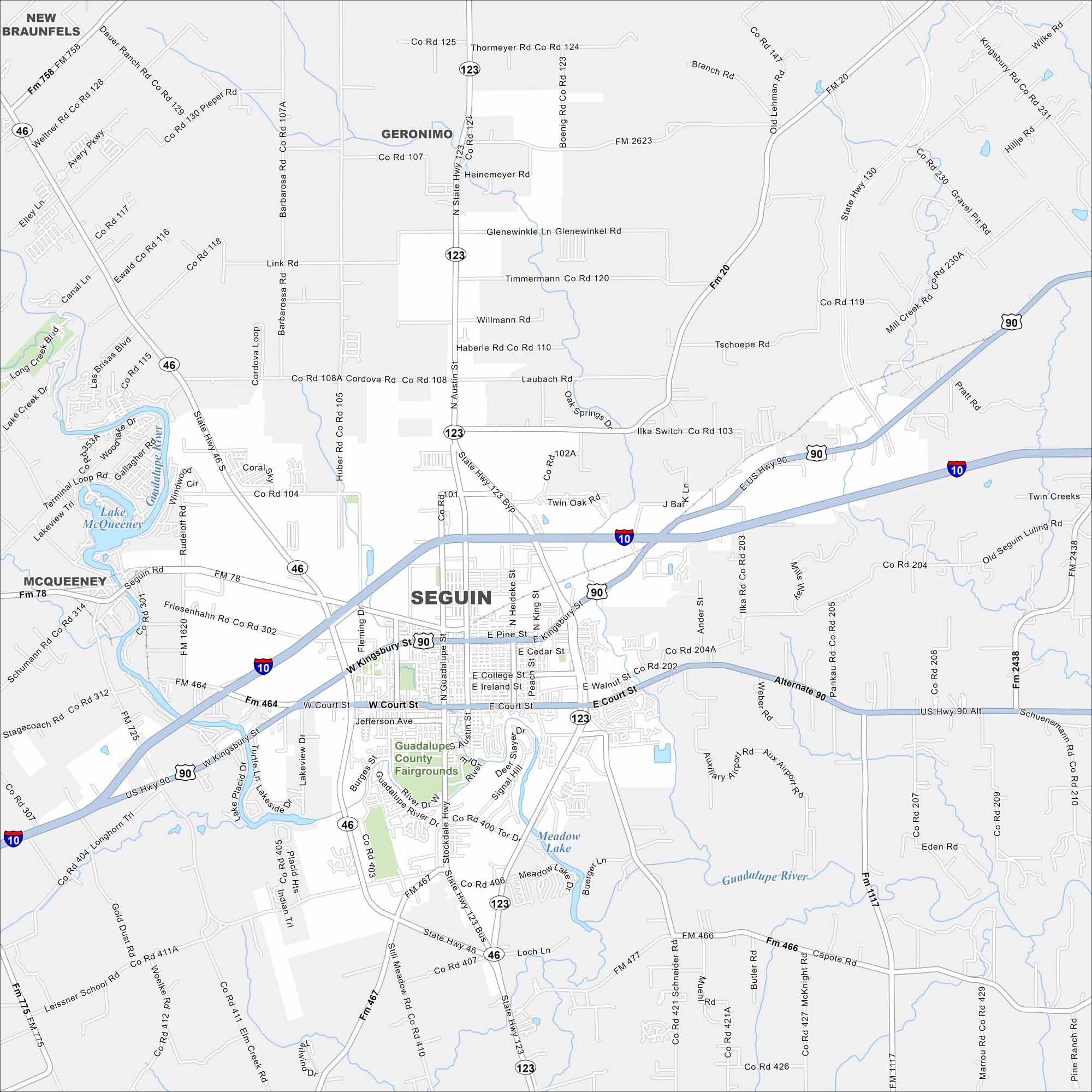
Our map of Seguin highlights this historic Texas town. With pecan groves, a lively downtown, and access to the Guadalupe River, there’s plenty to see here.
Map Information
On the Map
Interstates/Highways: I-10, US Hwy 90, State Hwy 46, State Hwy 123 Major Roads: Kingsbury St, Court St, Austin St, Jefferson Ave, College St, Ireland St, Walnut St, Heideke St, King St, Milam St, Saunders St, Stockdale Hwy, Guadalupe River Dr, Rudeloff Rd, Cordova Rd, Link Rd, Timmermann Rd, Willmann Rd, Laubach Rd, Ilka Switch Rd Lakes and Reservoirs: Lake McQueeney, Meadow Lake Major Rivers: Guadalupe River Parks and Preserves: Guadalupe County Fairgrounds Nearby Communities: New Braunfels, Geronimo, McQueeneyTexas State Maps
Scan our maps of the massive southern state of Texas.


City Maps of Texas
Explore our map collection of Texas cities.


