Map of Schertz, Texas
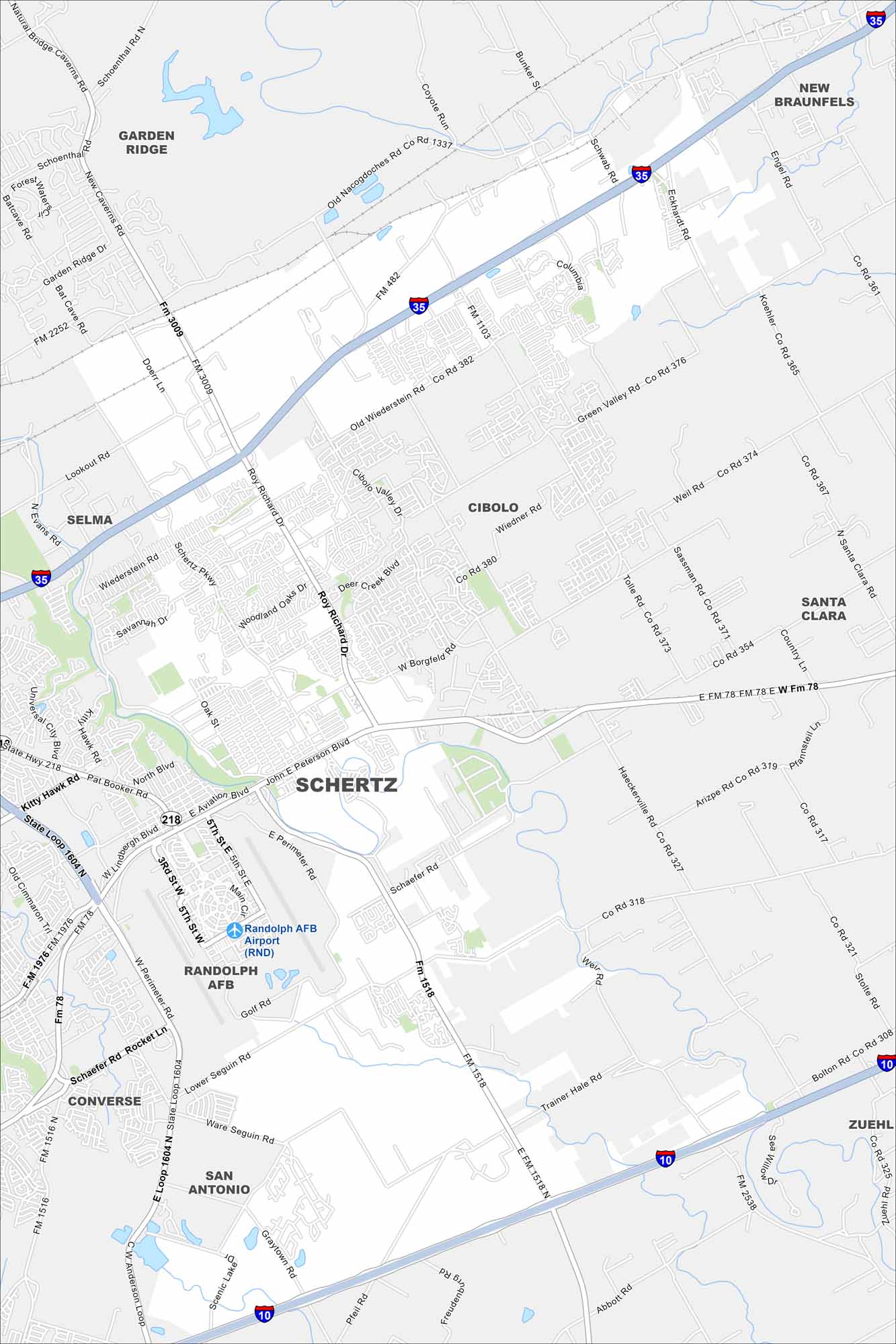
Here’s a map of Schertz, just outside San Antonio. Our map helps you find neighborhoods, parks, and the routes that tie this growing community together.
Map Information
On the Map
Interstates/Highways: I-10, I-35, State Hwy 218 Major Roads: Loop 1604, Schertz Pkwy, Pat Booker Rd, Aero Blvd, Aviation Blvd, Roy Richard Dr, Wiederstein Rd, Borgfeld Rd, Lookout Rd, Green Valley Rd, Lower Seguin Rd, Trainer Hale Rd, Graytown Rd, Pfeil Rd, Abbott Rd Airports: Randolph AFB Airport (RND) Nearby Communities: Garden Ridge, New Braunfels, Selma, Cibolo, Santa Clara, Zuehl, San Antonio, Converse, Randolph AFBTexas State Maps
Scan our maps of the massive southern state of Texas.


City Maps of Texas
Explore our map collection of Texas cities.


