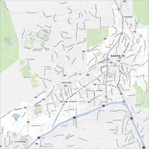
Map of Santa Fe, New Mexico
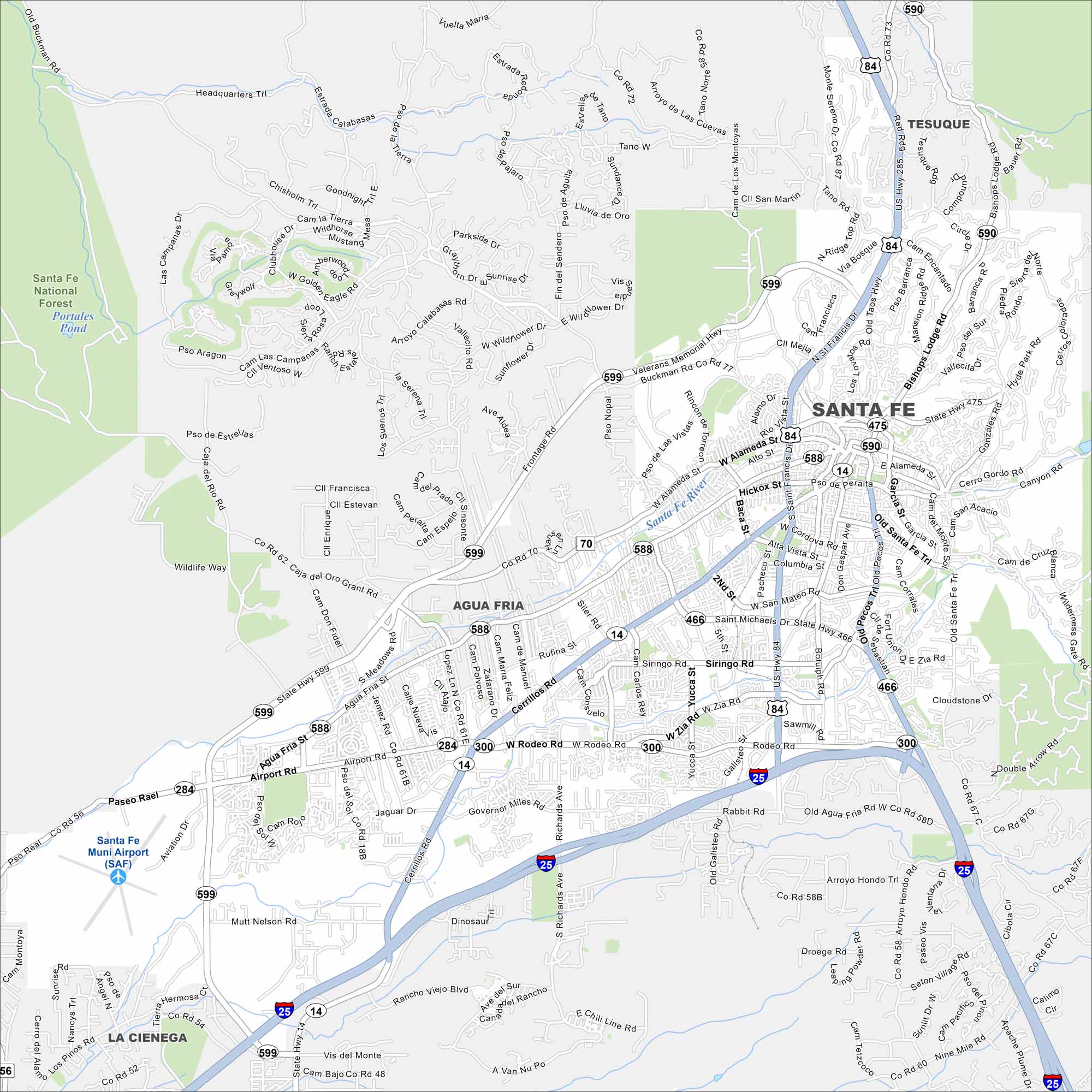
Get to know Santa Fe, New Mexico with our map. From adobe plazas to Canyon Road’s galleries, it’s a city steeped in art, history, and desert light.
Map Information
On the Map
Interstates/Highways: I-25, US Hwy 84, US Hwy 285, State Rte 599, State Rte 475, State Rte 590, State Rte 14, State Rte 466, State Rte 588, State Rte 300, State Rte 284 Major Roads: Cerrillos Rd, St Francis Dr, Santa Fe Relief Rte, Airport Rd, St Michaels Dr, Rodeo Rd, Old Pecos Trl, Alameda St, Paseo de Peralta, Cordova Rd, Don Gaspar Ave, Guadalupe St, Galisteo St, Richards Ave, Governor Miles Rd, Agua Fria St, Siler Rd, Buckman Rd, Bishops Lodge Rd, Hyde Park Rd Airports: Santa Fe Muni Airport (SAF) Lakes and Reservoirs: Portales Pond Major Rivers: Santa Fe River Parks and Preserves: Santa Fe National Forest Nearby Communities: Agua Fria, La Cienega, TesuqueNew Mexico State Maps
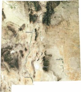
See maps across deserts, peaks, and towns of New Mexico.


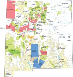


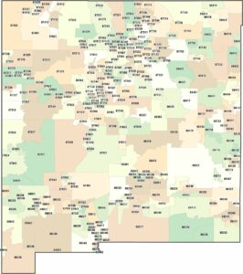
City Maps of New Mexico
Traverse New Mexico with our city maps.