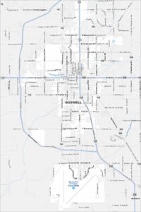
Map of Roswell, New Mexico
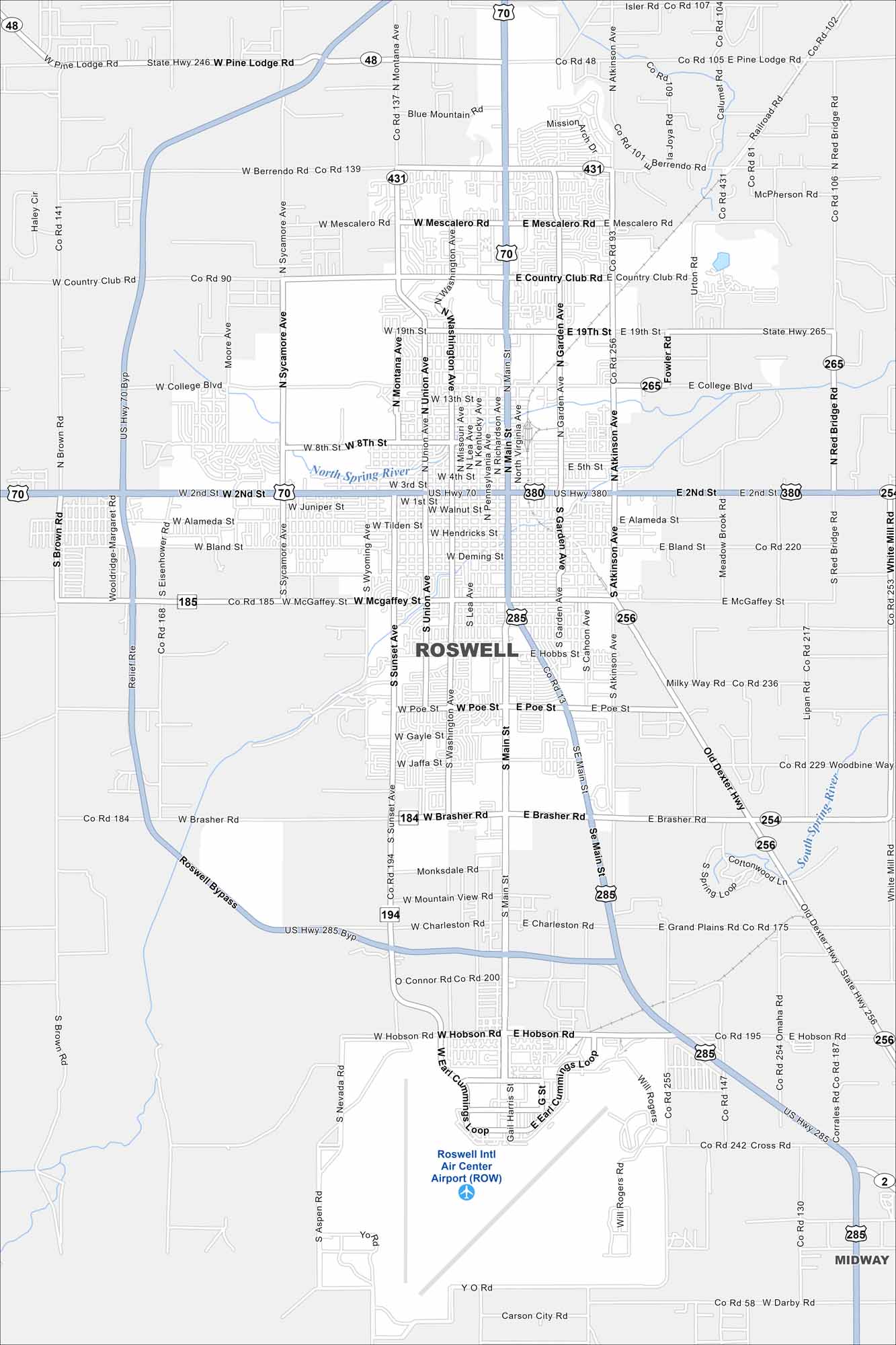
Our Roswell map puts downtown and the museum district front and center. It shows key roads and how the city connects to the desert beyond. Perfect for visitors chasing the UFO story.
Map Information
On the Map
Interstates/Highways: US Hwy 70, US Hwy 285, US Hwy 380, State Rte 246, State Rte 48, State Rte 265, State Rte 256, State Rte 254 Major Roads: Main St, 2nd St, Garden Ave, Atkinson Ave, Relief Rte, Richardson Ave, Washington Ave, Union Ave, Montana Ave, College Blvd, 19th St, Country Club Rd, Mescalero Rd, Berrendo Rd, Pine Lodge Rd, Brasher Rd, Hobbs St, Poe St, McGaffey St, Bland St Airports: Roswell Intl Air Center Airport (ROW) Major Rivers: North Spring River, South Spring River Nearby Communities: MidwayNew Mexico State Maps
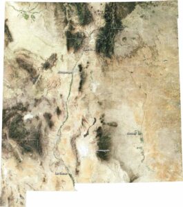
See maps across deserts, peaks, and towns of New Mexico.


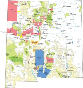


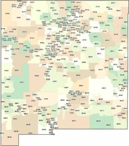
City Maps of New Mexico
Traverse New Mexico with our city maps.