Map of Rogers, Arkansas
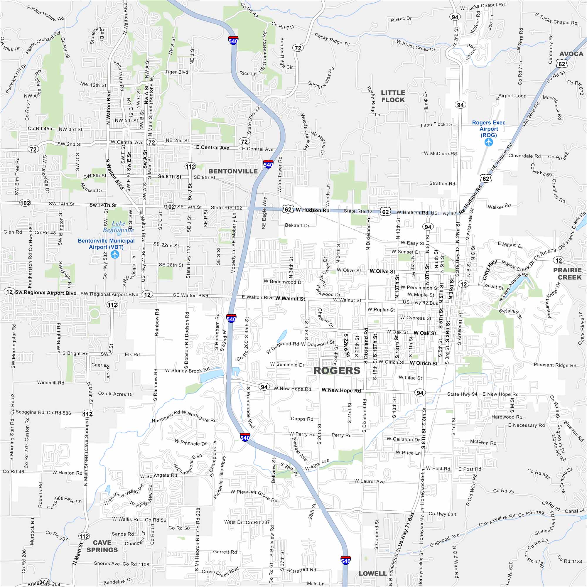
Our map of Rogers highlights the downtown, major routes, and trails. It also shows how the city connects with Bentonville and Fayetteville. That way you can explore Northwest Arkansas with a great map in hand.
Arkansas State Maps
Check out our Arkansas maps here


Map Information
On the Map
Interstates/Highways: I-540, US Hwy 62, State Hwy 12, State Hwy 94, State Hwy 265, State Hwy 112 Major Roads: Walnut St, New Hope Rd, Hudson Rd, Promenade Blvd, Pleasant Grove Rd, Main St, 8th St, 2nd St, Dixieland Rd, Monte Ne Rd, Old Wire Rd, Garrett Rd Airports: Rogers Exec Airport (ROG) Nearby Communities: Bentonville, Lowell, Cave Springs, Avoca, Little Flock, Prairie CreekArkansas City Maps
Discover Arkansas through our city maps


