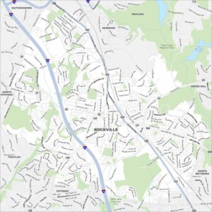
Map of Rockville, Maryland
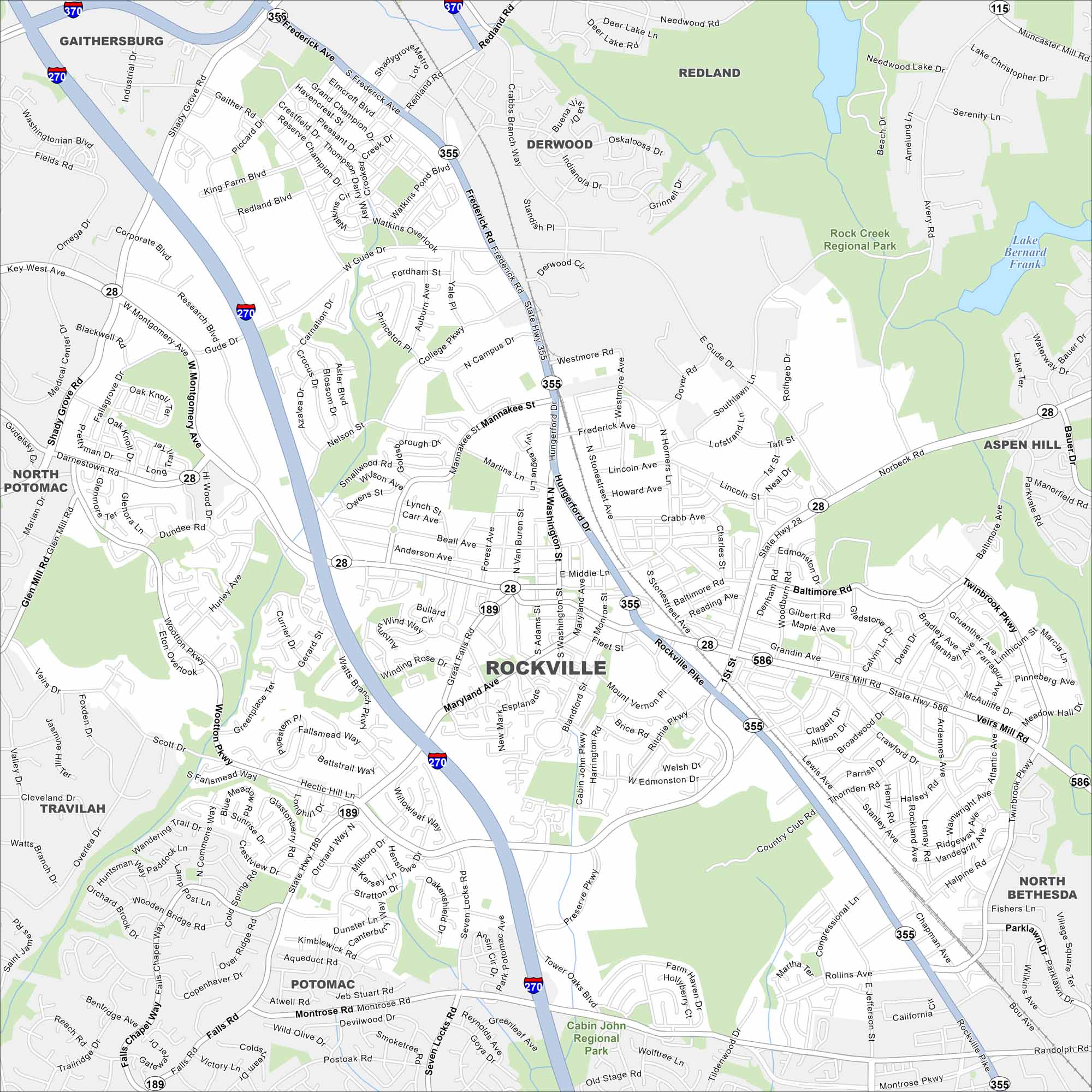
Our map of Rockville shows the downtown area, neighborhoods, and major roads. It also reveals how the city ties into the D.C. metro area.
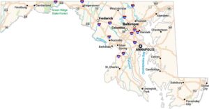
Maryland State Maps
See the geography of Maryland with our state maps


Map Information
On the Map
Interstates/Highways: I-270, I-370, State Hwy 28, State Hwy 115, State Hwy 189, State Hwy 355, State Hwy 586 Major Roads: Frederick Rd, Rockville Pike, Veirs Mill Rd, Gude Dr, Norbeck Rd, Montrose Rd, Shady Grove Rd, Montgomery Ave, Maryland Ave, Falls Rd, Wootton Pkwy, Seven Locks Rd, First St, Fleet St, Middle Ln, Hungerford Dr, Washington St, Nelson St, Twinbrook Pkwy, Parklawn Dr Lakes and Reservoirs: Lake Bernard Frank, Lake Christopher, Needwood Lake Parks and Preserves: Rock Creek Regional Park, Cabin John Regional Park Nearby Communities: Gaithersburg, Redland, Derwood, Aspen Hill, North Bethesda, Potomac, Travilah, North PotomacCity Maps of Maryland
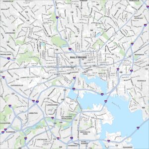
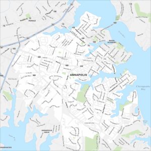
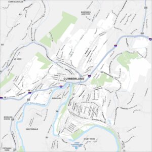
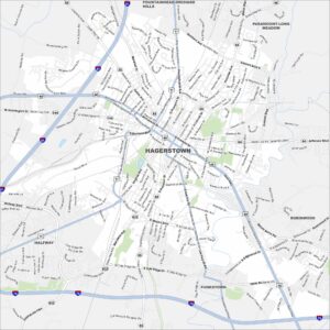
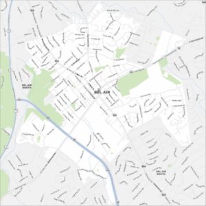
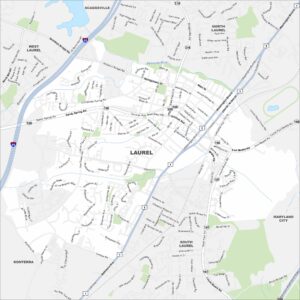
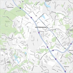
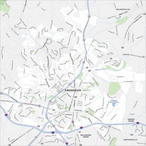
Here are our city maps of Maryland