Map of Robinson, Texas
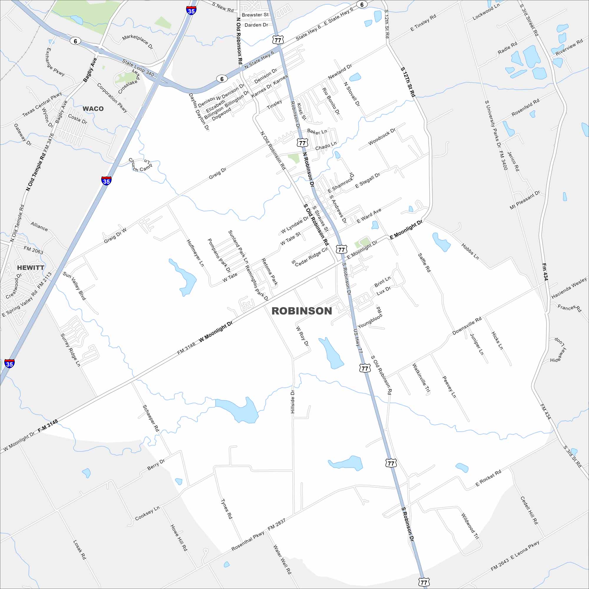
Get oriented with our Robinson, Texas map. The layout makes it simple to move through town and find quick routes into Waco.
Map Information
On the Map
Interstates/Highways: I-35, US Hwy 77, State Hwy 6, State Loop 340 Major Roads: Old Robinson Rd, Robinson Rd, Moonlight Dr, Sun Valley Blvd, Greig Dr, Newland Dr, Woodcock Dr, Stegall Dr, Ward Ave, Youngblood Rd, Peewee Ln, Downsville Rd, Hicks Ln, Rocket Rd, Leona Pkwy, Rosenthal Pkwy, Water Well Rd, Tynes Rd, Cooksey Ln, Berry Dr Nearby Communities: Waco, HewittTexas State Maps
Scan our maps of the massive southern state of Texas.


City Maps of Texas
Explore our map collection of Texas cities.


