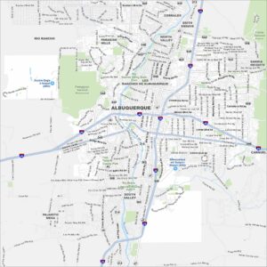
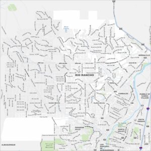
Map of Rio Rancho, New Mexico
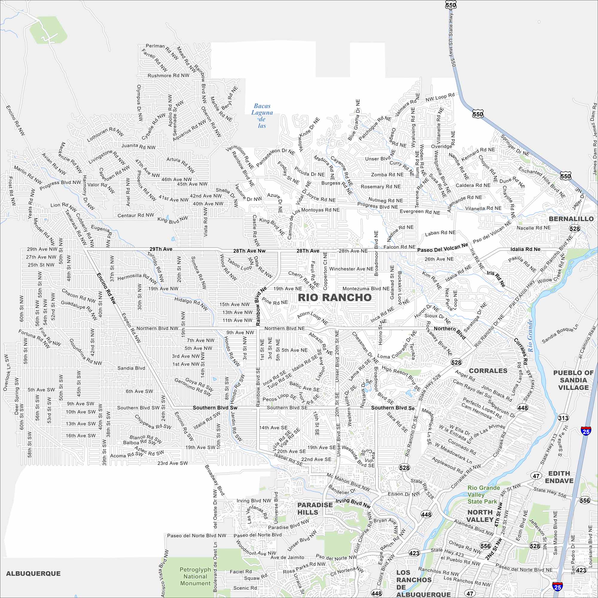
Our map of Rio Rancho shows neighborhoods and roads across the growing city. It also shows how highways link it directly to Albuquerque.
Map Information
On the Map
Interstates/Highways: I-25, US Hwy 550, State Rte 528, State Rte 448, State Rte 313, State Rte 556, State Rte 47, State Rte 423 Major Roads: Southern Blvd, Northern Blvd, Unser Blvd, Paseo del Norte Blvd, Coors Blvd, Rio Rancho Blvd, Golf Course Rd, Rainbow Blvd, Idalia Rd, 28th Ave, 19th Ave, Iris Rd, 10th St, Broadmoor Blvd, Pso del Volcan, King Blvd, Western Hills Dr, High Resort Blvd, Lisbon Ave, Saratoga Dr Major Rivers: Rio Grande Parks and Preserves: Petroglyph National Monument, Rio Grande Valley State Park Nearby Communities: Albuquerque, Corrales, North Valley, Edith Endave, Paradise Hills, Bernalillo, Pueblo of Sandia Village, Los Ranchos de AlbuquerqueNew Mexico State Maps
See maps across deserts, peaks, and towns of New Mexico.


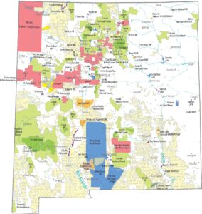


City Maps of New Mexico
Traverse New Mexico with our city maps.