Rhode Island National Parks and Forests Map
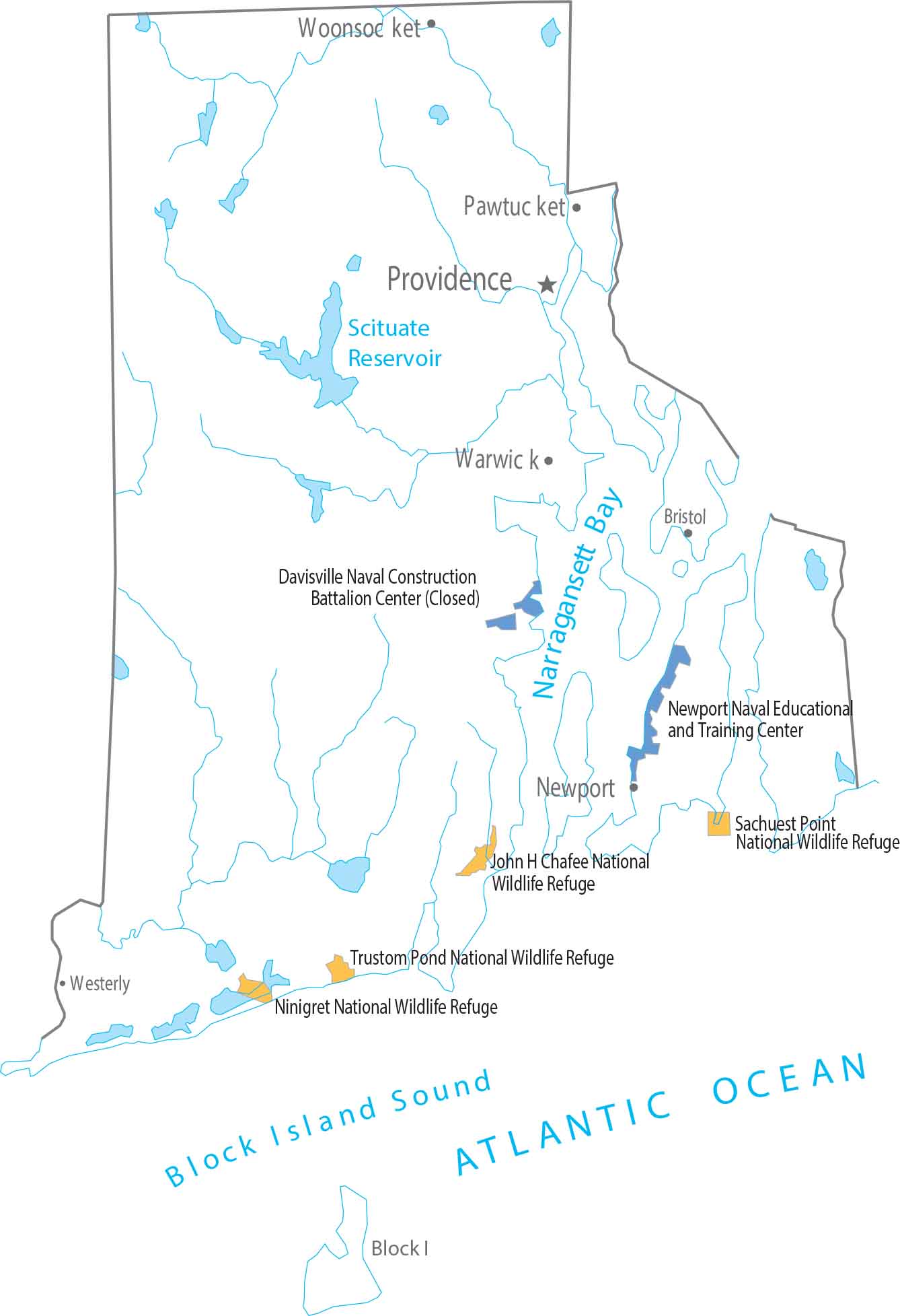
Rhode Island has no national parks and no national forests, with only minor federal sites. Conservation here stays compact and local. Our map reflects the state’s small scale.
Map Information
On the Map
Federal Lands
National Wildlife Refuges (NWR): John H Chafee NWR, Ninigret NWR, Sachuest Point NWR, Trustom Pond NWR Education Centers: Newport Naval Educational and Training CenterLand Information
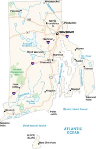
State Capital: Providence Major Cities: Cranston, North Providence, Pawtucket, Warwick, West Warwick, Woonsocket Cities and Towns: Newport, Bristol, Westerly, Block Island Lakes and Reservoirs: Atlantic Ocean, Block Island Sound, Narragansett Bay, Scituate Reservoir Rivers and Streams: Blackstone River, Pawcatuck River, Sakonnet RiverRhode Island State Maps
Here are our maps of this compact coastal state.