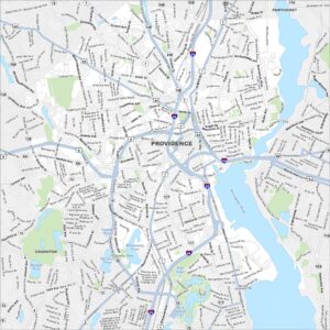
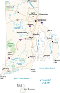
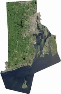
Map of Providence, Rhode Island

Providence is Rhode Island’s capital and one of the oldest cities in New England. Our map shows the winding colonial streets, rivers, and neighborhoods. Providence River flows through it on the east side.
Map Information
On the Map
Interstates/Highways: I-95, I-195, US Hwy 1, US Hwy 6, US Hwy 44, State Rte 2, State Rte 5, State Rte 10, State Rte 14, State Rte 15, State Rte 117, State Rte 122, State Rte 126, State Rte 128, State Rte 246 Major Roads: Elmwood Ave, Reservoir Ave, Broad St, Cranston St, Westminster St, Atwells Ave, Broadway, Chalkstone Ave, Douglas Ave, Smith St, North Main St, Hope St, Blackstone Blvd, Gano St, Allens Ave, Eddy St, Narragansett Blvd, Huntington Ave, Pontiac Ave, Park Ave Lakes and Reservoirs: Mashapaug Pond, Spectacle Pond, Tongue Pond, Deep Spring Lake, Polo Lake, Randall Pond Major Rivers: Providence River Parks and Preserves: JT Owens Park Nearby Communities: Pawtucket, CranstonRhode Island State Maps
Here are our maps of this compact coastal state.


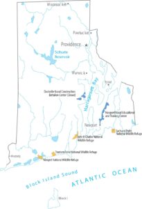


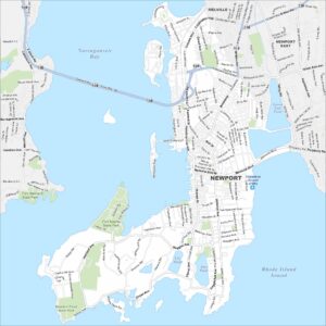
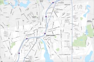
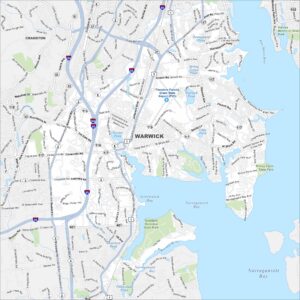
City Maps of Rhode Island
Chart your path through Rhode Island’s cities and towns