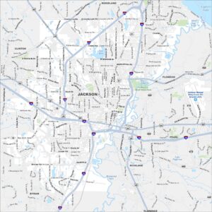
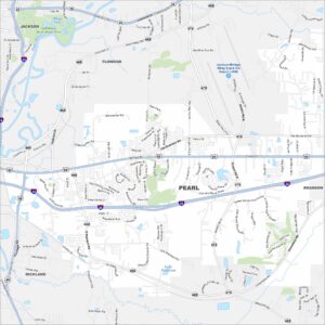
Map of Pearl, Mississippi

Pearl stretches along the Pearl River just east of Jackson. Our map shows neighborhoods, highways, and open green spaces. Trustmark Park, home of minor league baseball, is a standout landmark.
Map Information
On the Map
Interstates/Highways: I-20, I-55, US Hwy 80, US Hwy 49, State Hwy 475, State Hwy 468, State Hwy 25 Major Roads: Brandon Rd, Pearson Rd, Airport Rd, Whitfield Rd, Crossgates Blvd, Greenfield Rd, Flowood Dr, Lakeland Dr, Treetop Blvd, Underworld Dr, Fannin Rd, Mangum Dr, Flynn Dr, Center City Dr, St Augustine Dr, Elam Church Rd, Sweet Home Church Rd, Monterey Rd, Star Rd, Luckney Rd Airports: Jackson-Medgar Wiley Evers Intl Airport (JAN) Lakes and Reservoirs: Lake Patterson, Mayes Lake, Spring Lake Major Rivers: Pearl River Parks and Preserves: LeFleurs Bluff State Park Nearby Communities: Jackson, Flowood, Brandon, RichlandMississippi State Maps
Explore maps of Mississippi’s towns, rivers, and roads.


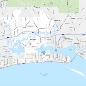
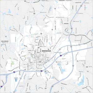
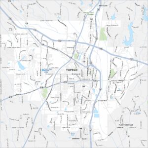
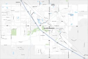
Mississippi City Maps
Discover Mississippi with our city maps