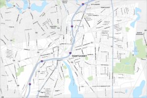
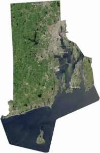
Map of Pawtucket, Rhode Island
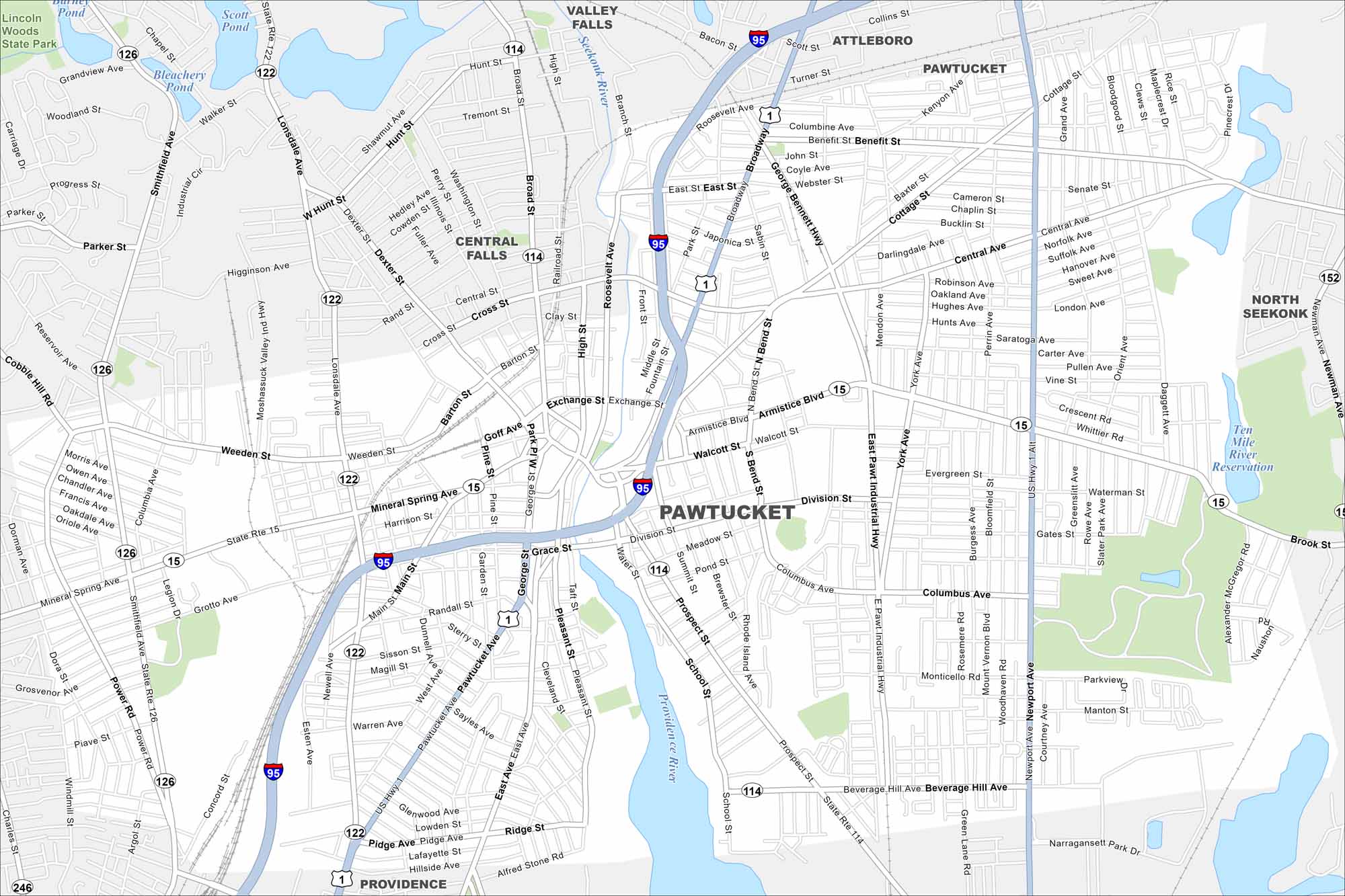
Check out Pawtucket, located northeast of Providence. Our map highlights its dense neighborhoods and roads. This city played a key role in America’s Industrial Revolution.
Map Information
On the Map
Interstates/Highways: I-95, US Hwy 1, US Hwy 1 Alt, State Rte 15, State Rte 114, State Rte 122, State Rte 126 Major Roads: Broadway, Main St, Pawtucket Ave, Newport Ave, Central Ave, Armistice Blvd, Division St, Mineral Spring Ave, Weeden St, Lonsdale Ave, Smithfield Ave, York Ave, East Pawt Industrial Hwy, Beverage Hill Ave, Prospect St, School St, George Bennett Hwy, Cottage St, Benefit St, Roosevelt Ave Lakes and Reservoirs: Bleachery Pond, Scott Pond Major Rivers: Seekonk River Parks and Preserves: Lincoln Woods State Park Nearby Communities: Providence, Central Falls, Attleboro, Valley Falls, North SeekonkRhode Island State Maps
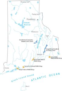
Here are our maps of this compact coastal state.
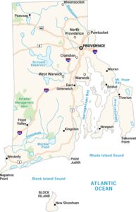


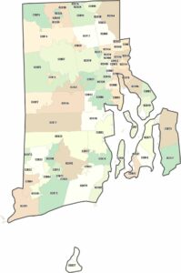
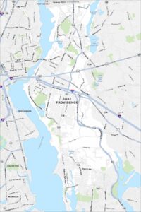
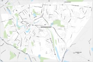
City Maps of Rhode Island
Chart your path through Rhode Island’s cities and towns