Map of Pampa, Texas
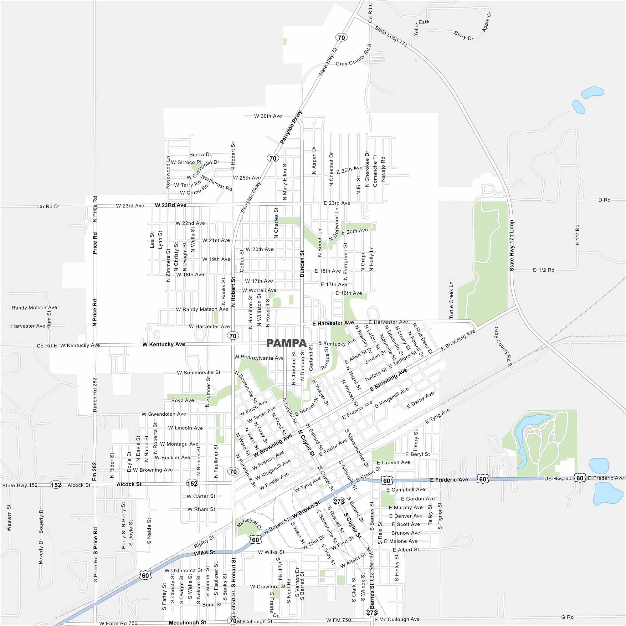
Pampa sits out on the Texas Panhandle plains. Check out our map to see its grid of streets and surrounding farmland. Oil and cattle have long shaped the local economy. It still does.
Map Information
On the Map
Interstates/Highways: State Hwy 70, State Hwy 152 Major Roads: Loop 171, Price Rd, Hobart St, Harvester Ave, Kentucky Ave, Browning Ave, Frederic Ave, Brown St, Alcock St, Oklahoma Ave, McCullough St, Wilks St, Perryton Pkwy, 23rd Ave, 25th Ave, 30th Ave, Tyng Ave, Cuyler St, Ballard St, Somerville StTexas State Maps
Scan our maps of the massive southern state of Texas.


City Maps of Texas
Explore our map collection of Texas cities.


