Map of Owatonna, Minnesota
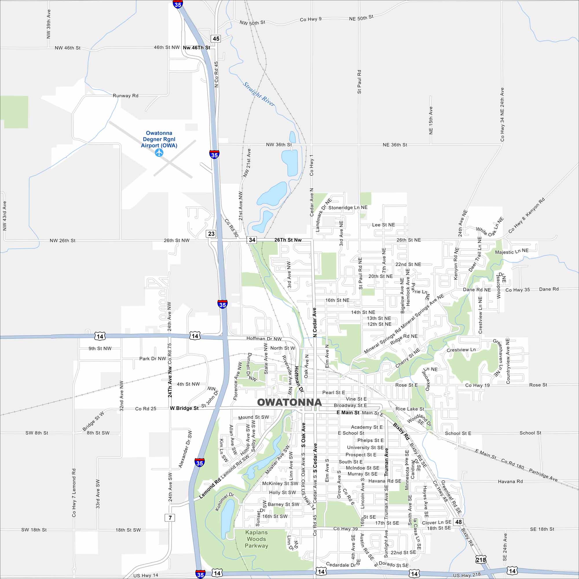
Check out Owatonna, situated along the Straight River. This map shows its downtown, parks, and surrounding farmland. The city has a long tradition of manufacturing and trade.
Map Information
On the Map
Interstates/Highways: I-35, US Hwy 14, US Hwy 218 Major Roads: Cedar Ave, Main St, 26th St, 46th St, Bridge St, Lemond Rd, Havana Rd, Mineral Springs Rd, Bixby Rd, 18th St, 24th Ave, 15th Ave, St. Paul Rd, 22nd St, Hoffman Dr, School St, Prospect St, Rose St, Oak Ave, State Ave Airports: Owatonna Degner Rgnl Airport (OWA) Major Rivers: Straight River Parks and Preserves: Kaplans Woods ParkwayMinnesota State Maps
Explore every lake in our state maps of Minnesota


Minnesota City Maps
Browse through our city maps of Minnesota


