Map of Ottumwa, Iowa
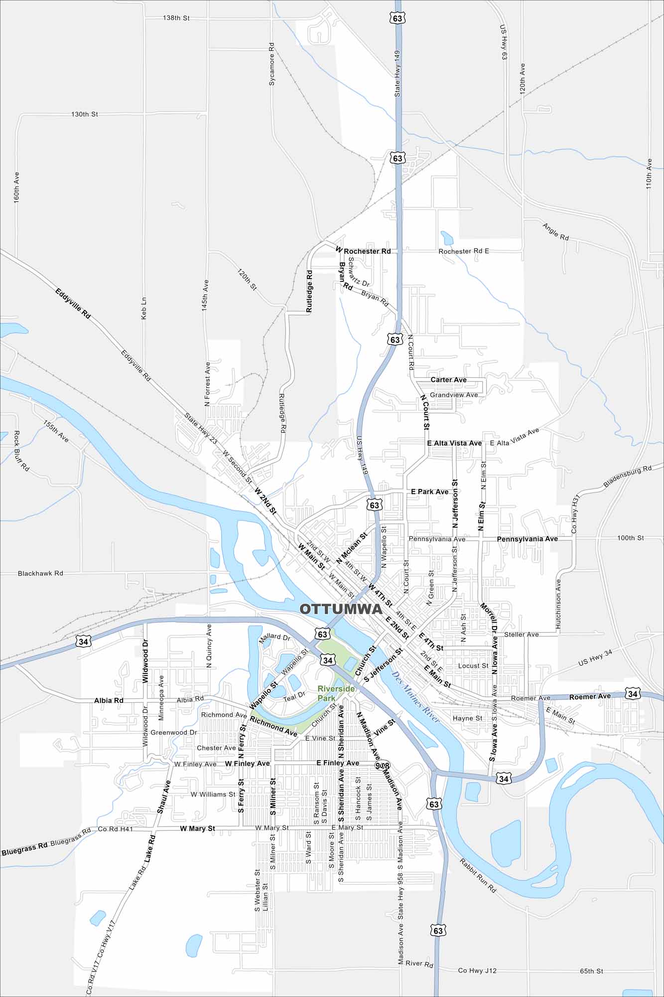
Ottumwa sits along the Des Moines River in southeastern Iowa. Our map shows bridges, downtown streets, and surrounding neighborhoods. The riverfront has long been central to the city’s identity.


Map Information
On the Map
Interstates/Highways: US Hwy 63, US Hwy 34, State Rte 149, State Rte 23 Major Roads: Main St, Madison Ave, Wapello St, Jefferson St, Court St, Roemer Ave, Albia Rd, Mary St, Finley Ave, Pennsylvania Ave, Richmond Ave, Rochester Rd, Ferry St, Milner St, Sheridan Ave, Ash St, Elm St, Cass St, Church St, Grandview Ave Major Rivers: Des Moines River Parks and Preserves: Riverside ParkIowa City Maps
Browse city maps in the state of Iowa


