Map of Oskaloosa, Iowa
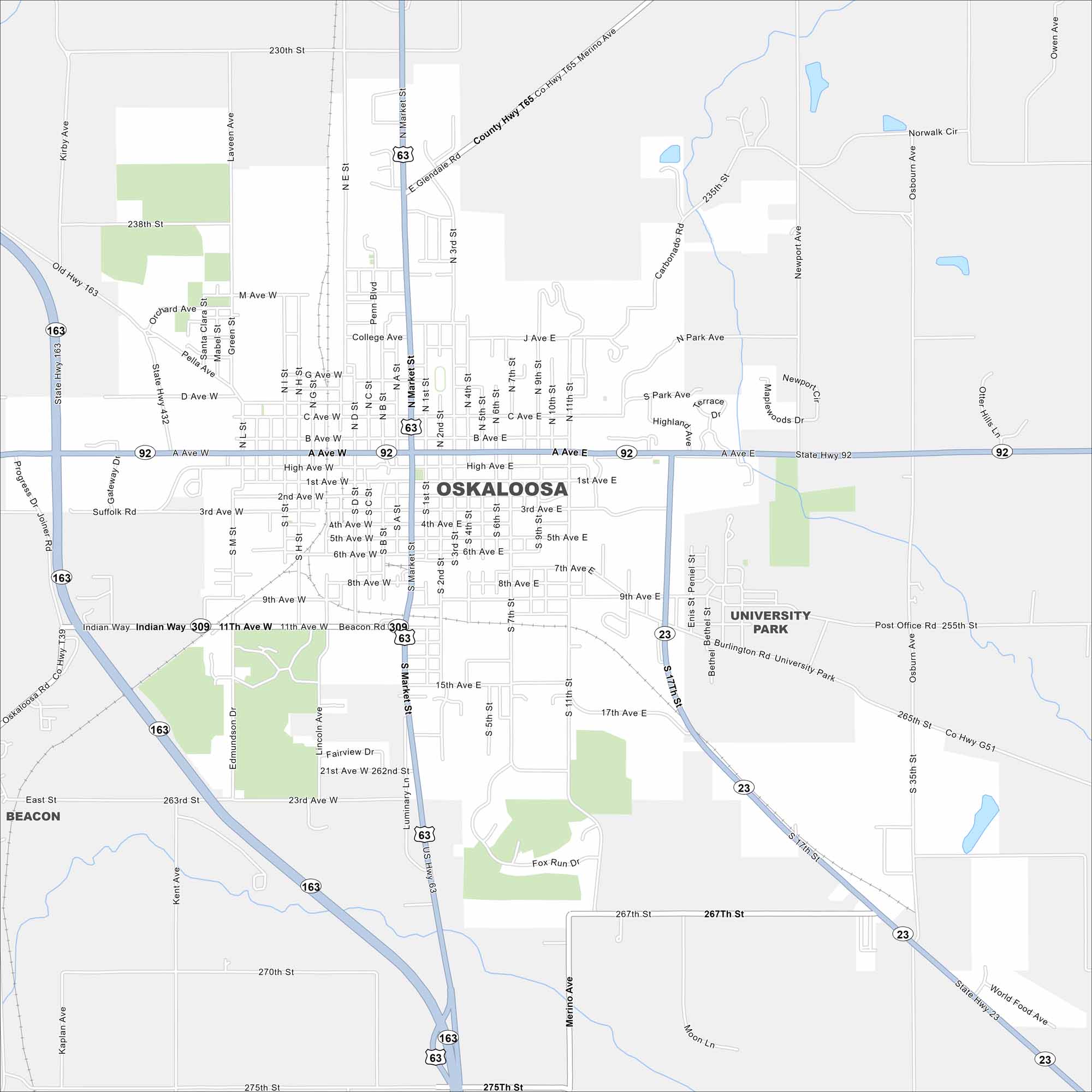
Here’s Oskaloosa in southeastern Iowa. This map highlights a central square with neighborhoods going outward. The town has deep ties to coal mining and Quaker heritage.


Map Information
On the Map
Interstates/Highways: US Hwy 63, State Rte 92, State Rte 163, State Rte 23, State Rte 432 Major Roads: Market St, High Ave, A Ave, 1st Ave, 3rd Ave, 9th Ave, 11th Ave, 15th Ave, 17th Ave, 21st Ave, 23rd Ave, 17th St, 11th St, 7th St, 2nd St, Pella Ave, College Ave, Park Ave, Glendale Rd, Edmundson Dr Nearby Communities: University Park, BeaconIowa City Maps
Browse city maps in the state of Iowa


