Map of Odessa, Texas
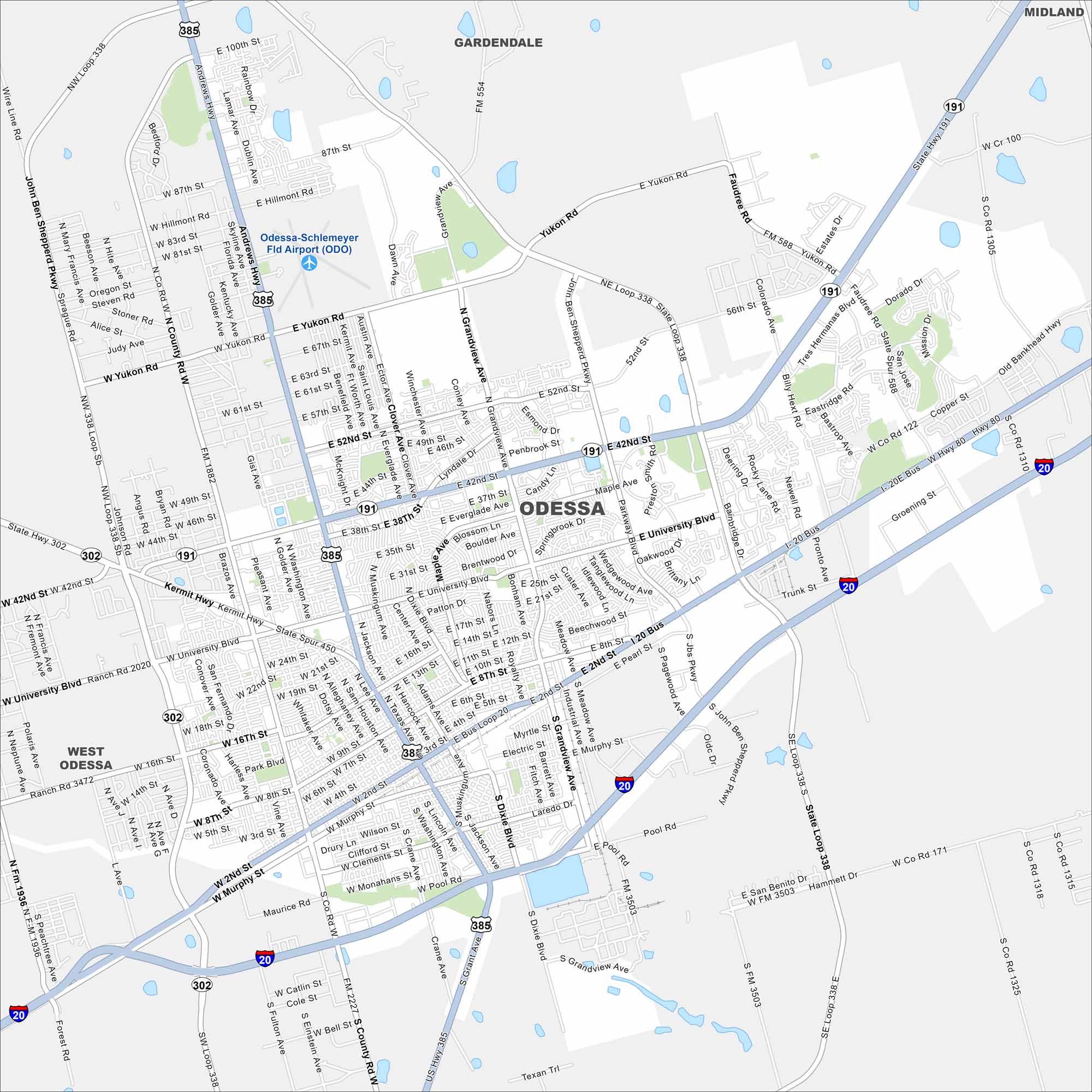
Odessa spreads across the flat Permian Basin of West Texas. This map shows wide roads, highways, and suburban neighborhoods. The city has long been tied to the oil industry.
Map Information
On the Map
Interstates/Highways: I-20, US Hwy 385, State Hwy 191, State Hwy 302, State Hwy 158 Major Roads: Loop 338, University Blvd, 42nd St, 52nd St, Yukon Rd, 87th St, 100th St, Andrews Hwy, Grandview Ave, JBS Pkwy, Dixie Blvd, West County Rd, Murphy St, Monahans St, 8th St, 10th St, 16th St, 2nd St, Pool Rd, Kermit Hwy Airports: Odessa-Schlemeyer Fld Airport (ODO) Nearby Communities: Gardendale, West Odessa, MidlandTexas State Maps
Scan our maps of the massive southern state of Texas.


City Maps of Texas
Explore our map collection of Texas cities.


