Map of Northfield, Minnesota
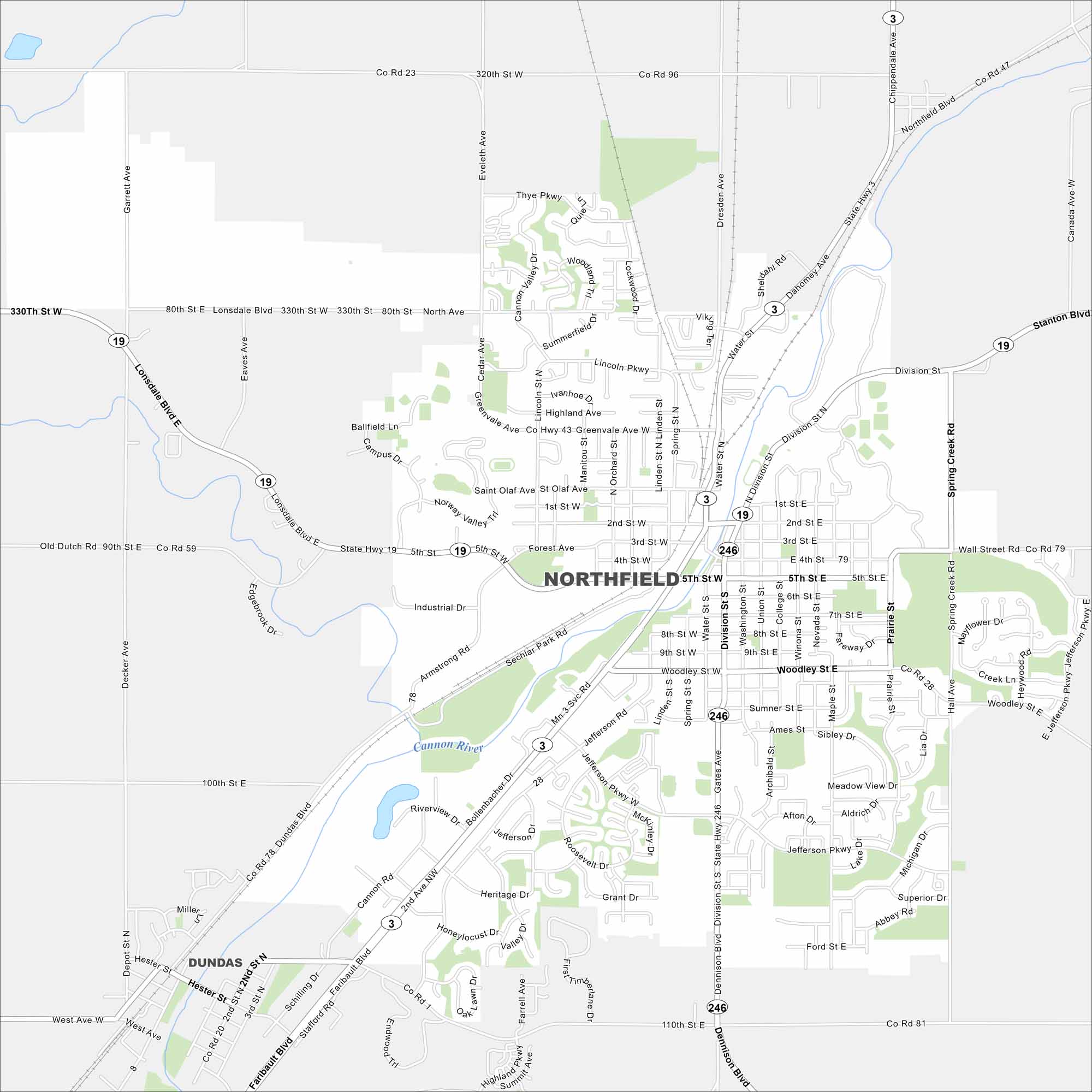
Northfield is set along the Cannon River. Our map shows a walkable downtown, green spaces, and surrounding farmland. The river runs right through the heart of town.
Map Information
On the Map
Interstates/Highways: State Rte 3, State Rte 19, State Rte 246 Major Roads: Division St, Woodley St, Jefferson Rd, Faribault Blvd, 5th St, 2nd St, 3rd St, 4th St, 7th St, 8th St, 9th St, Lonsdale Blvd, Northfield Blvd, Stanton Blvd, Dennison Blvd, Greenvale Ave, Saint Olaf Ave, Lincoln Pkwy, Thye Pkwy, Spring Creek Rd Major Rivers: Cannon River Nearby Communities: DundasMinnesota State Maps
Explore every lake in our state maps of Minnesota


Minnesota City Maps
Browse through our city maps of Minnesota


