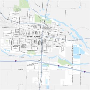
Map of North Platte, Nebraska

Our map of North Platte shows a city at the fork of the North and South Platte Rivers. The Union Pacific rail yard dominates the landscape. Highways stretch outward into the plains.
Map Information
On the Map
Interstates/Highways: I-80, US Hwy 83, US Hwy 30 Major Roads: Jeffers St, Dewey St, Poplar St, Buffalo Bill Ave, Newberry Access Rd, Halligan Dr, Walker Rd, State Farm Rd, Leota St, Francis St, Philip Ave, 4th St, Front St, 9th St, 10th St, 12th St, 18th St, Rodeo Rd, North River Rd, Echo Dr Major Rivers: North Platte River, South Platte River Parks and Preserves: Buffalo Bill Ranch State Historic Park, Interstate ParkNebraska State Maps
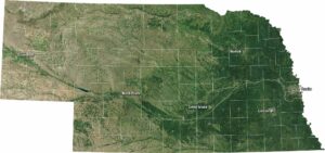
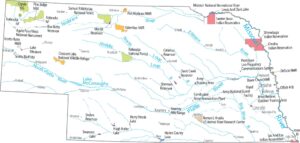
Examine maps showing prairies and cities in Nebraska.


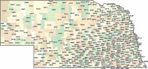
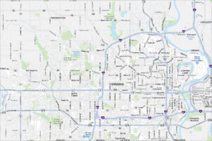
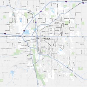
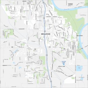
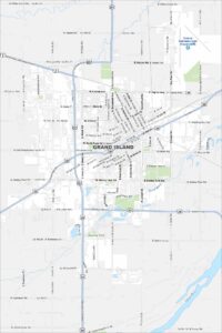
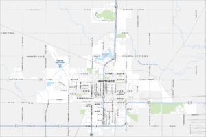
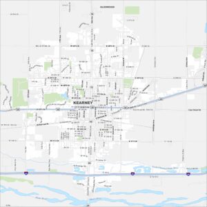
City Maps of Nebraska
Nebraska city maps are here