Map of New Bedford, Massachusetts
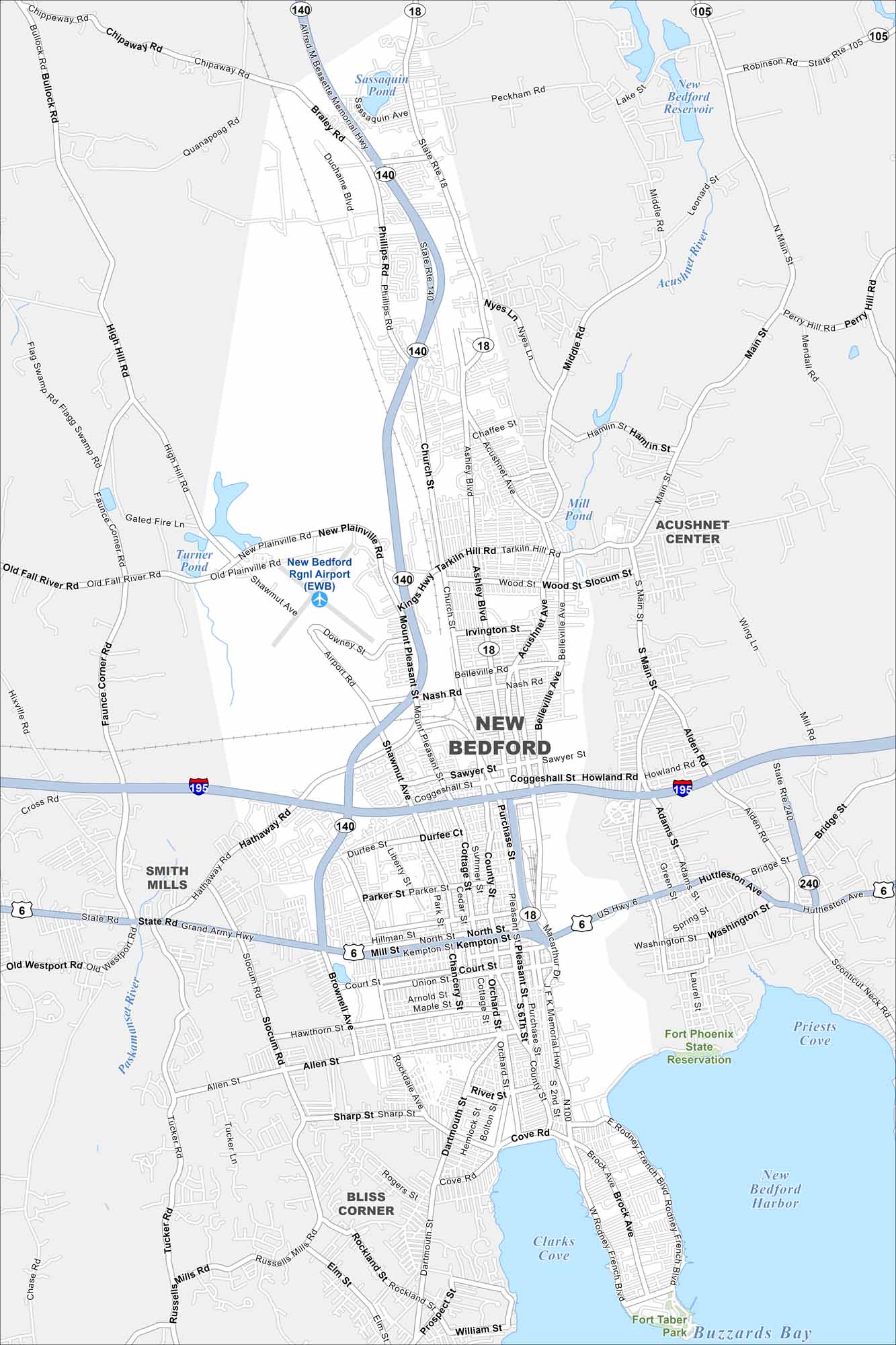
New Bedford lies on Buzzards Bay in southeastern Massachusetts. Check out this map to see its harbor, working waterfront and downtown grid. The city is famous for its whaling history.
Map Information
On the Map
Interstates/Highways: I-195, State Rte 140, State Rte 18, US Hwy 6, Kings Hwy Major Roads: Tarkiln Hill Rd, Mt Pleasant St, Ashley Blvd, Belleville Ave, Acushnet Ave, Church St, Coggeshall St, Kempton St, Mill St, Union St, County St, Purchase St, Pleasant St, Dartmouth St, Brock Ave, Rodney French Blvd Airports: New Bedford Rgnl Airport (EWB) Lakes and Reservoirs: Buzzards Bay, New Bedford Harbor, Clarks Cove, Priests Cove, Sassaquin Pond, New Bedford Reservoir, Mill Pond, Turner Pond Major Rivers: Acushnet River, Paskamanset River Parks and Preserves: Fort Phoenix State Reservation, Fort Taber Park Nearby Communities: Acushnet Center, Bliss Corner, Smith MillsMassachusetts State Maps
Here’s our state maps of Massachusetts


City Maps of Massachusetts
Explore Boston and other urban areas in Massachusetts


