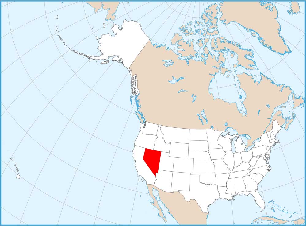
Map of Nevada
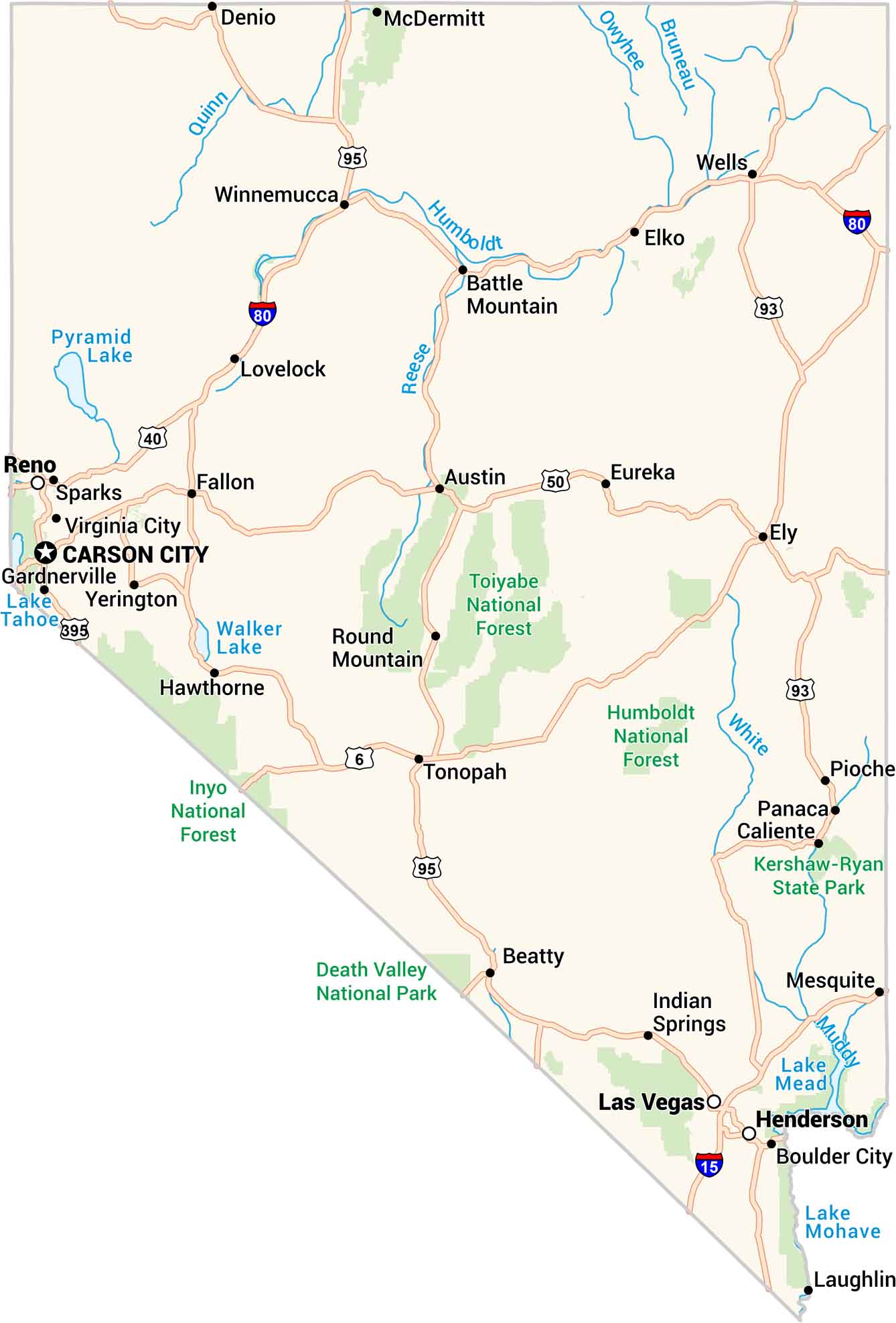
Our map of Nevada shows a land of sharp contrasts. Deserts stretch endlessly. Then, sudden bursts of green appear around Reno and Las Vegas. Highways cut their way through. It’s harsh, beautiful, and full of quiet mystery.
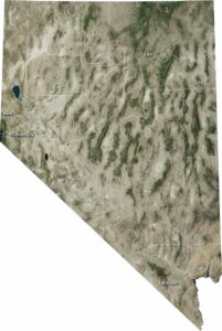
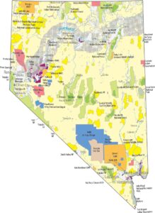
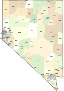
Nevada State Maps
Click on one of our maps of the Silver State.


Map Information
On the Map
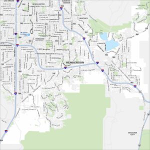
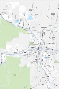
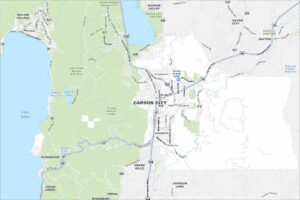
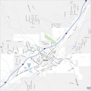
City Maps of Nevada
Explore cities in Nevada from desert to mountains