Map of Natchez, Mississippi
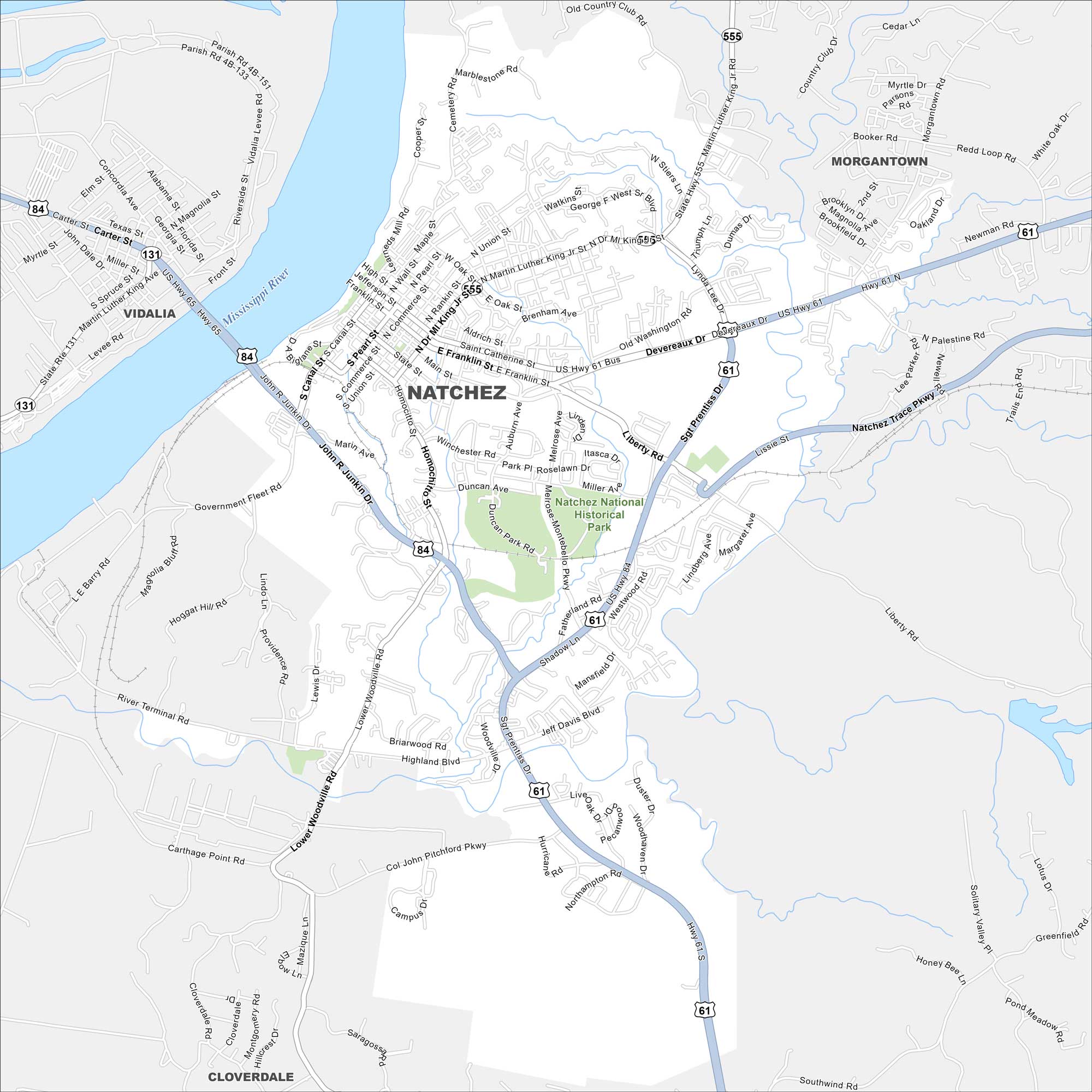
Our map of Natchez highlights a bluff city on the Mississippi River. Take a look at this map to see its historic downtown, riverfront, and roads. It’s famous for antebellum homes and river views.
Map Information
On the Map
Interstates/Highways: US Hwy 61, US Hwy 84, US Hwy 98, State Rte 131, State Hwy 555 Major Roads: Martin Luther King Jr Rd, Franklin St, Main St, Canal St, Broadway, Homochitto St, Junkin Dr, Woodville Rd, John Pitchford Pkwy, Melrose Montebello Pkwy, Liberty Rd, Devereaux Dr, Sgt Prentiss Dr, Jeff Davis Blvd, Highland Blvd, Winchester Rd, Duncan Ave, Orleans St, Pearl St, Union St Major Rivers: Mississippi River Parks and Preserves: Natchez National Historical Park Nearby Communities: Vidalia, Morgantown, CloverdaleMississippi State Maps
Explore maps of Mississippi’s towns, rivers, and roads.


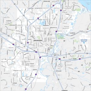
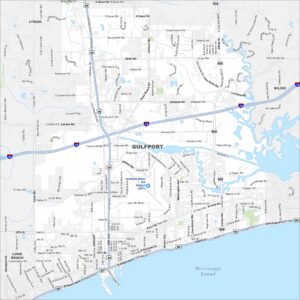
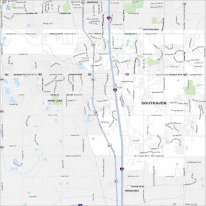
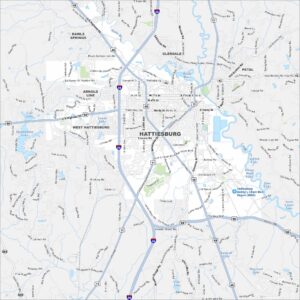
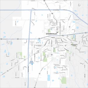
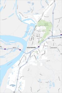
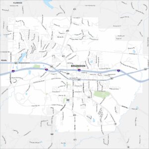
Mississippi City Maps
Discover Mississippi with our city maps