Map of Moorhead, Minnesota
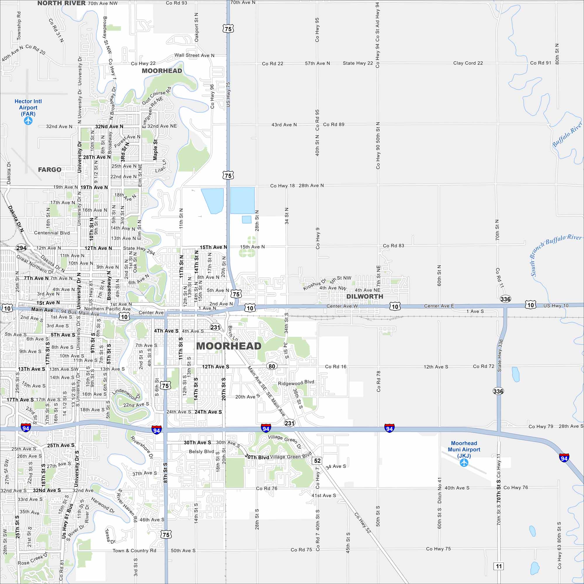
Moorhead sits right on the Red River across from Fargo. Our map shows a its downtown stretching into farmland on the outskirts.
Map Information
On the Map
Interstates/Highways: I-94, US Hwy 75, US Hwy 10, State Rte 336, State Rte 52 Major Roads: Main Ave, Center Ave, 12th Ave, 24th Ave, 28th Ave, 30th Ave, 40th Ave, 8th St, 20th St, 34th St, University Dr, Broadway, Wall St, 15th St, Belsly Blvd, Village Green Dr, Ridgewood Blvd, 50th St, 60th St, 70th St Airports: Moorhead Muni Airport (JKJ) Major Rivers: Buffalo River Nearby Communities: Fargo, DilworthMinnesota State Maps
Explore every lake in our state maps of Minnesota


Minnesota City Maps
Browse through our city maps of Minnesota


