Map of Monticello, Minnesota
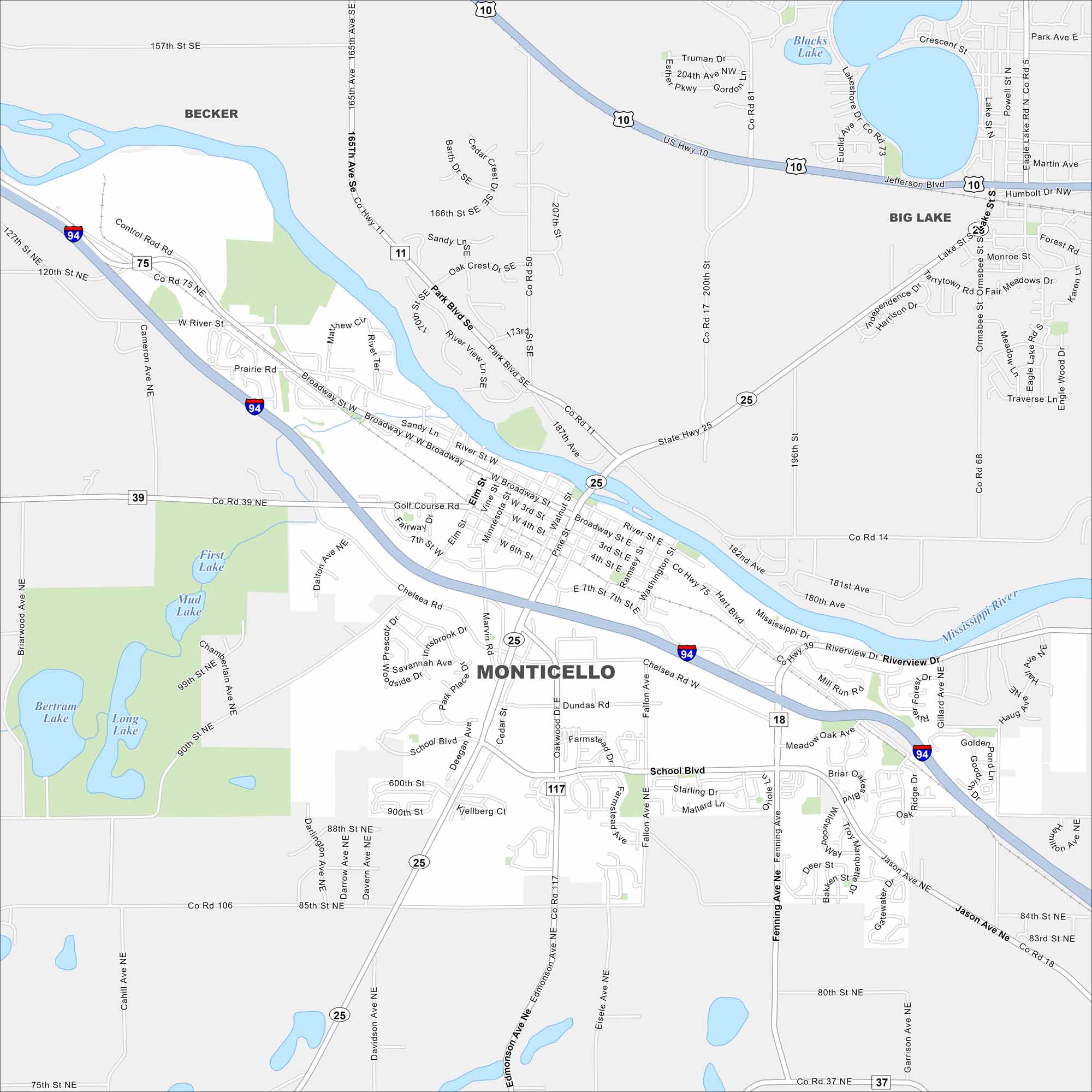
Explore Monticello on our road map. The Mississippi River flows right through and the town spreads along the riverbanks. Its location midway between St. Cloud and Minneapolis gives it strong regional ties.
Map Information
On the Map
Interstates/Highways: I-94, US Hwy 10, State Rte 25 Major Roads: Broadway St, School Blvd, Riverview Dr, Chelsea Rd, 7th St, Cedar St, Walnut St, Pine St, Elm St, Edmonson Ave, Fenning Ave, Fallon Ave, Oakwood Dr, Jason Ave, 80th St, 85th St, 90th St, 157th St, 166th St, 204th Ave Lakes and Reservoirs: First Lake, Mud Lake, Long Lake, Bertram Lake, Blacks Lake Major Rivers: Mississippi River Nearby Communities: Becker, Big LakeMinnesota State Maps
Explore every lake in our state maps of Minnesota


Minnesota City Maps
Browse through our city maps of Minnesota


